Excessive rainfall may produce locally considerable flash flooding over parts of South Texas, the western Gulf Coast, and Lower Mississippi River Valley through Thursday. Hot temperatures will persist over central and northern California and the Pacific Northwest through today. Read More >
Older TAFs
TAF Impact Board
5-min ASOS Data
Winds Aloft
Hourly Forecast
General Public Forecast
Older TAFs
TAF Impact Board
5-min ASOS Data
Winds Aloft
Hourly Forecast
General Public Forecast
Older TAFs
TAF Impact Board
5-min ASOS Data
Winds Aloft
Hourly Forecast
General Public Forecast
Older TAFs
TAF Impact Board
5-min ASOS Data
Winds Aloft
Hourly Forecast
General Public Forecast
Older TAFs
TAF Impact Board
5-min ASOS Data
Winds Aloft
Hourly Forecast
General Public Forecast
Older TAFs
TAF Impact Board
5-min ASOS Data
Winds Aloft
Hourly Forecast
General Public Forecast
Older TAFs
TAF Impact Board
5-min ASOS Data
Winds Aloft
Hourly Forecast
General Public Forecast
.AVIATION /12Z TUESDAY THROUGH SATURDAY/...
Through 12Z Wednesday...VFR conditions are expected to prevail
through the forecast period. Light west north/northwest winds
becoming west/southwest this afternoon and will range from 5 to 10
knots except for some gusts up to 20 knots at KMSS. Winds will
go light and variable once again tonight after 00Z.

Outlook...

Wednesday: VFR. Chance SHRA, Slight chance TSRA.
Wednesday Night: VFR. Chance SHRA.
Thursday: Mainly MVFR, with local VFR possible. Definite SHRA,
Slight chance TSRA.
Thursday Night: Mainly VFR, with local MVFR possible. Chance
SHRA.
Friday: Mainly VFR, with local MVFR possible. Chance SHRA, Slight
chance TSRA.
Friday Night: MVFR/IFR conditions possible. Chance SHRA, Slight
chance TSRA.
Saturday: Mainly MVFR, with local IFR possible. Likely SHRA,
Slight chance TSRA.
Click on Radar and Satellite images below for a loop.
|
Radar Loop
|
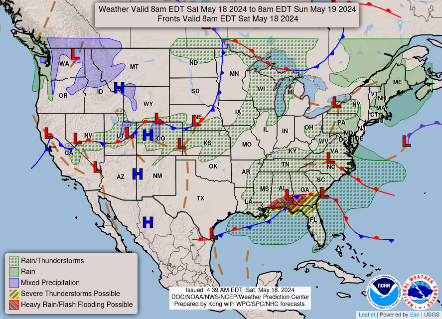
Current Weather Map
|
|
Visible Satellite Loop
|
Infrared Satellite Loop
|
|
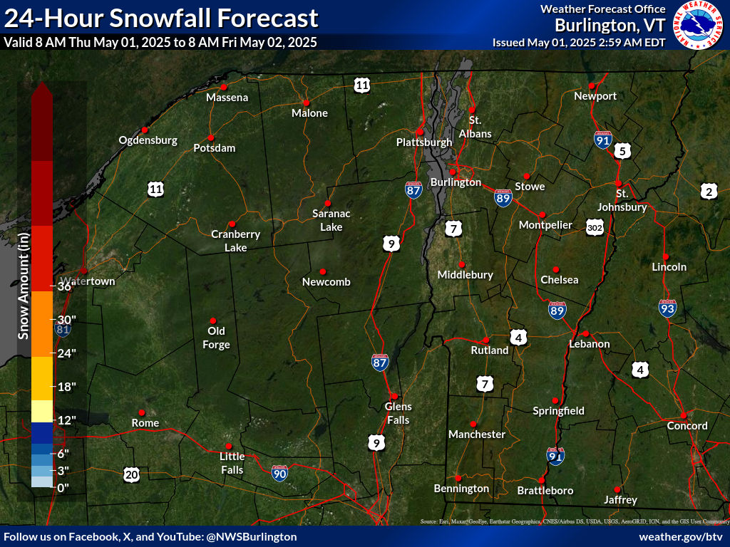
Expected 24-hr Snowfall
|
Expected 24-hr Ice Accumulation
|
Click on images below to enlarge.
|
Radar Loop
|
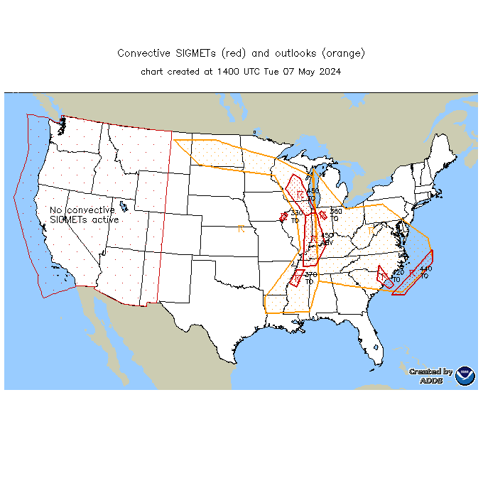
Convective SIGMETs
|
TFM Convective Forecast (TCF)
|
|
SPC Day 1 Convective Outlook
|
SPC Day 2 Convective Outlook
|
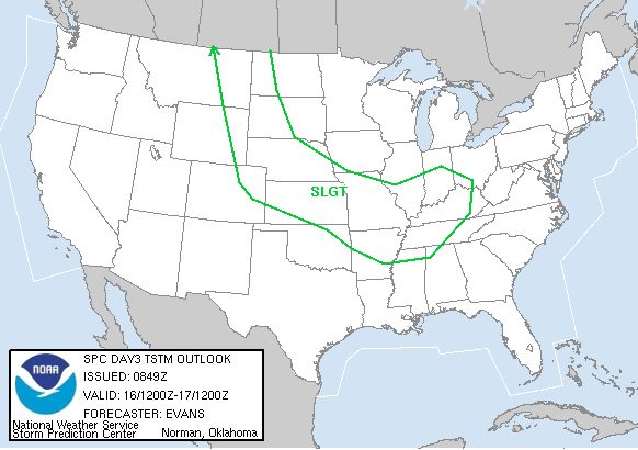
SPC Day 3 Convective Outlook
|
|
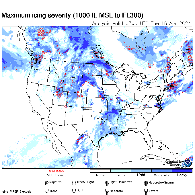
Current Icing SIGMETs
|
CIP/FIP Icing Guidance
|
|
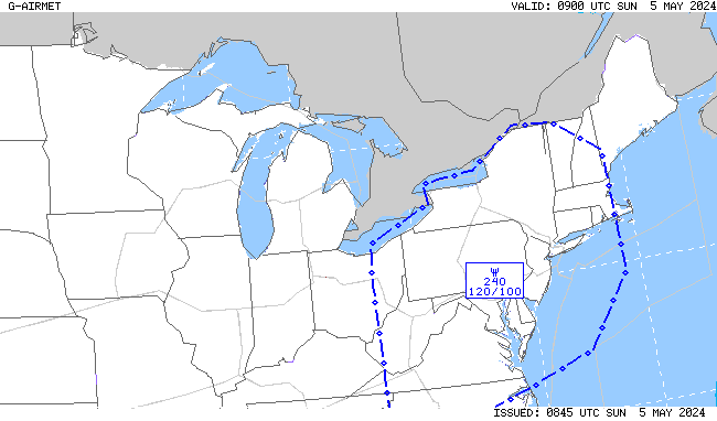
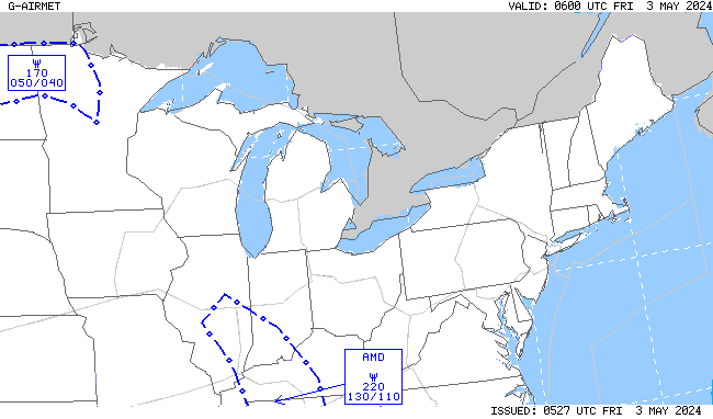
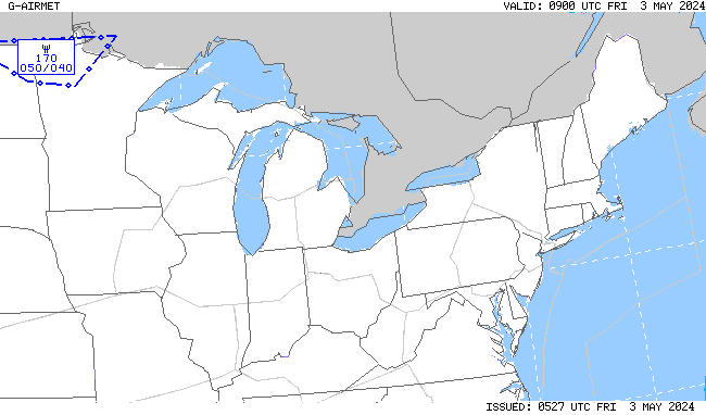
00-03 hr Icing AIRMETs
|
03-06 hr Icing AIRMETs
|
|
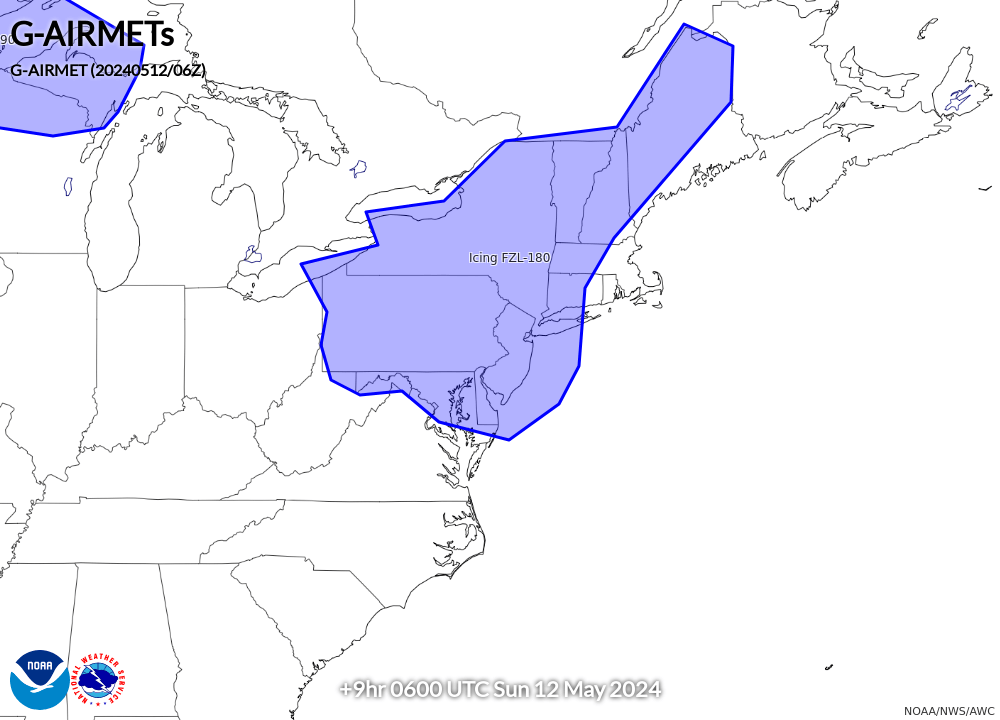
06-09 hr Icing AIRMETs
|
09-12 hr Icing AIRMETs
|
|
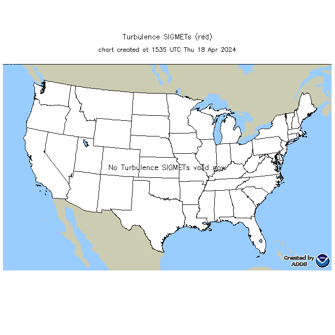
Current Turb SIGMETs
|
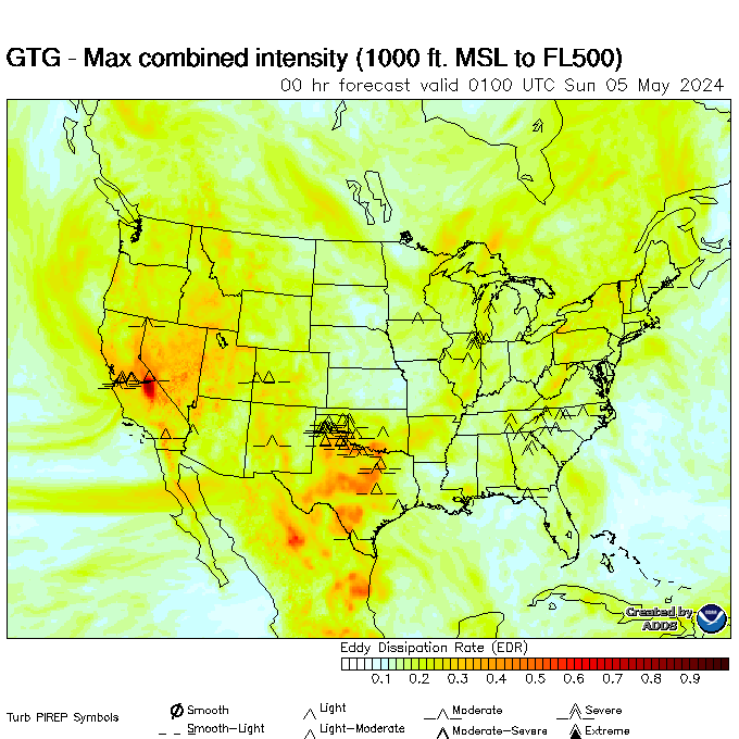
Turbulence Guidance (GTG)
|
|
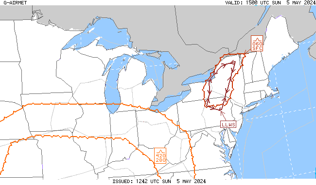
00-03 hr Turb/LLWS AIRMETs
|
03-06 hr Turb/LLWS AIRMETs
|
|
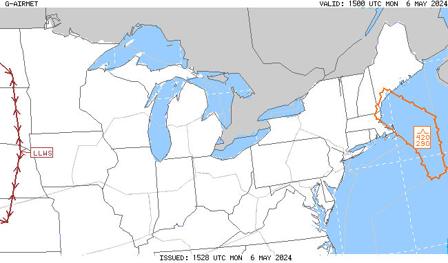
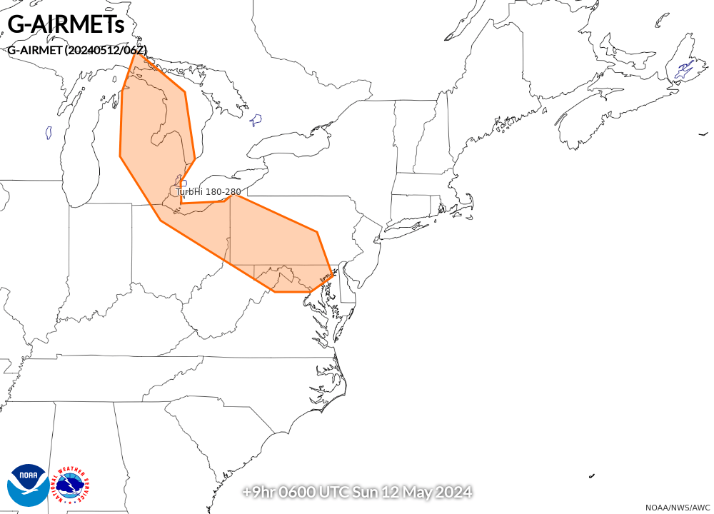
06-09 hr Turb/LLWS AIRMETs
|
09-12 hr Turb/LLWS AIRMETs
|
|
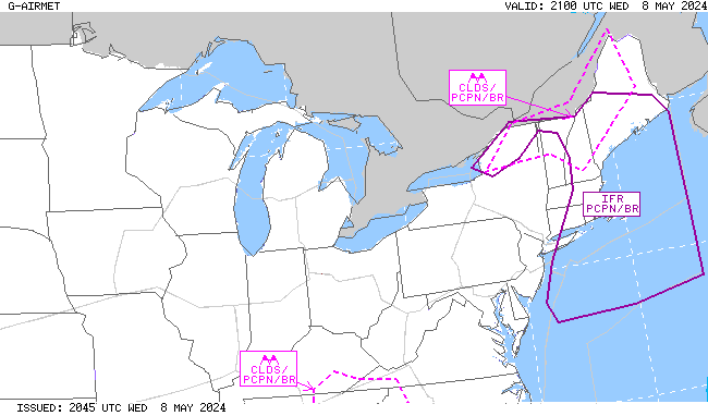
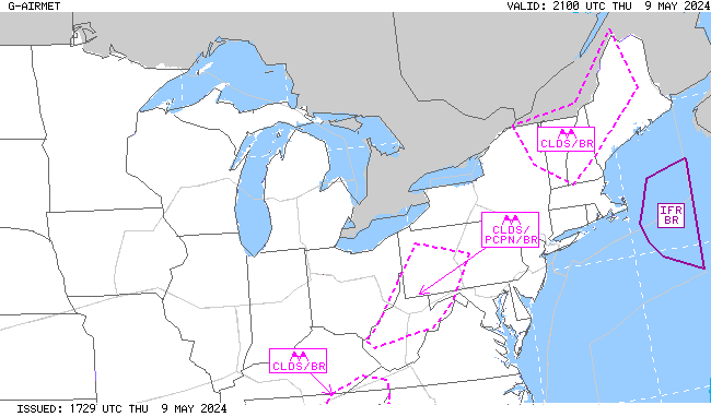
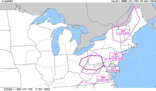
00-03 hr Visibility AIRMETs
|
03-06 hr Visibility AIRMETs
|
|
06-09 hr Visibility AIRMETs
|
09-12 hr Visibility AIRMETs
|