|
Weather Woes
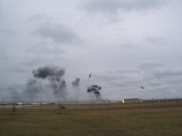
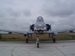
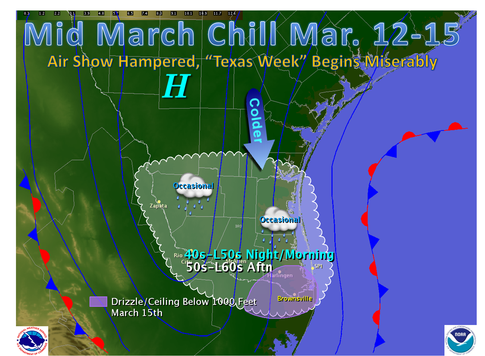
Nobody told the atmosphere that The Commemorative Air Force, Rio Grande Valley Wing's 2009 Air Fiesta was scheduled for the weekend of March 14th and 15th at the Brownsville South Padre Island International Airport. The weather rudely crashed the party. On Saturday, March 14th, unseasonably cold temperatures, as low as 38°F when accounting for the wind, dominated into the early afternoon under steely gray skies. These temperatures cut attendance sharply, with one official saying that less than 1000 persons braved the wind and cold. Fortunately, for those who did make the trip, the height of the cloud bases lifted sufficiently to allow some flying, including staged dives (below) and fighter chases.
On Sunday, lighter winds and slightly warmer morning temperatures (in the 50s instead of the 40s), and given that this was the final day for the show, brought a much larger gathering to the field. These customers were sent home with no memories of flying thrills, as a fine rain developed around noon. The rain helped drop cloud bases below 1000 feet and as low as 500 feet, levels that not only could be dangerous for demonstrations, but plainly too low for folks to see activity at all.
Weather ‘Whys’
A series of events led to the cold and damp conditions, which lasted for four days across the Valley. At the surface, a shallow but sharp cold front early on March 12th was followed by persistent high pressure, which lasted through the weekend (bottom left). Meanwhile, not too far above the ground, warm and humid air flowed north on strong southerly winds, overrunning the chilly surface and leading to a low overcast with occasional drizzle. At around 15,000 feet, two players working together prolonged the inclement conditions longer than one might expect in the Valley, certainly during the heart of spring (bottom right).
|
Weather ‘Whys’, Continued
First, embedded impulses of energy (orange colored ellipses) moving within southwesterly flow each increased low level lifting. This produced thicker clouds, some rain producing, through the atmosphere. The thicker clouds assisted in blocking the increasingly stronger sun necessary to warm the surface. Second, confluent and convergent flow existed at 15,000 feet and above, shown by the white lines that appear to come together across the mid Mississippi Valley region. This high level pattern is generally associated with lower level divergent flow underneath and displaced toward the windward edge. The lower level divergence results in surface high pressure (purple H). This pattern persisted through the weekend, resulting in the four day weather blues.
Our Show Goes on
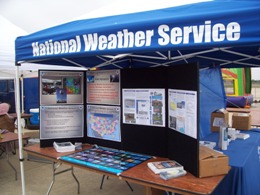
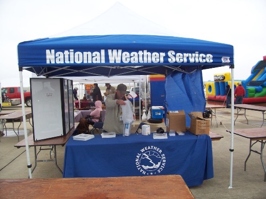
The conditions did not stop several hardy souls from stopping by the NWS Brownsville tent on Saturday, and even more visited on Sunday, where they were treated to demonstrations of rainfall measuring and how a radiosonde (weather balloon) is launched, education about aviation weather forecasts and information, and had their questions answered. Many took away tokens of our appreciation, including coloring books for children, and snazzy cloud charts for all. The NWS in Brownsville appreciates all who braved the weather...to visit the weather people.
 |


