...ICE ACCUMULATION ON THE MISSOURI RIVER NEAR BISMARCK AND MANDAN...

Colder temperatures will continue over the region through the
weekend, with cold weather remaining in the forecast for the
foreseeable future. This will once again cause ice to form on the
Missouri River. While the river came close to icing-in just before
Christmas, a return to warmer weather reversed that trend and
removed some ice from the Bismarck and Mandan area. This time
around, there is much less room in the river to store ice below the
University of Mary, so the icing-in will likely occur very quickly
once it starts.

While it is impossible to predict exactly when the river through the
metro area will fill with ice, the effects of this icing-in of
the river are fairly well known.

The near icing in of the river in December caused roughly 6.5 feet
of rise in the Missouri River. This is consistent with past history,
and is in the range of an expected rise going into the new year.

Since 2010, once the river ice collects in the Bismarck and Mandan
area, the rise in the Missouri River ranges between 4.9 and 6.9
feet, with an average rise of just over 6.0 feet. The Bismarck gage
for the Missouri River is currently right around 4.7 feet. This
suggests if the river were to become ice filled or covered, the
Bismarck gage would rise to a maximum stage between 9.6 and 11.6
feet. Minor Flood Stage, where problematic high water begins, is
defined as a stage of 14.5 feet as measured at the Bismarck gage.

Once the river starts to collect ice, the river can rise very fast
and reach its winter maximum in less than 24 hours.

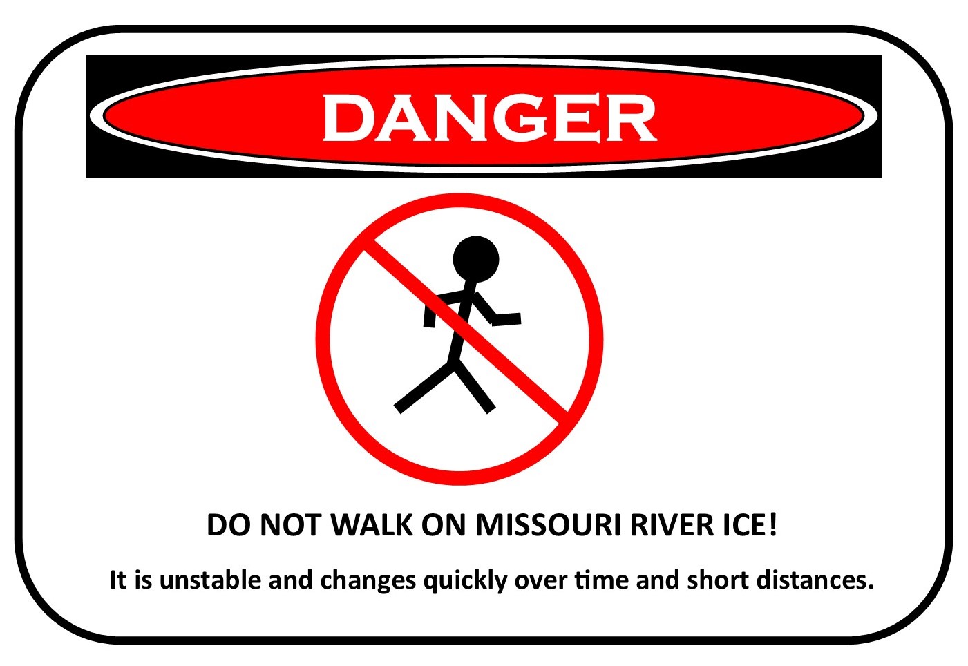
As a reminder, people should avoid walking on the Missouri River as
ice accumulates.  The first ice on the Missouri River tends to be a
collection of small, unstable ice pans that can give way with no
notice. Also, anyone who notices damaging high water should report
their observations to local emergency management.