Severe thunderstorms are forecast through this weekend along a slow moving cold front and secondary storm system that will impact areas from the southern Plains to the Great Lakes. Large hail and isolated damaging wind gusts are the main threats with these storms along with a risk for heavy to excessive rainfall which could bring flooding. Read More >
Bismarck, ND
Weather Forecast Office
Overview
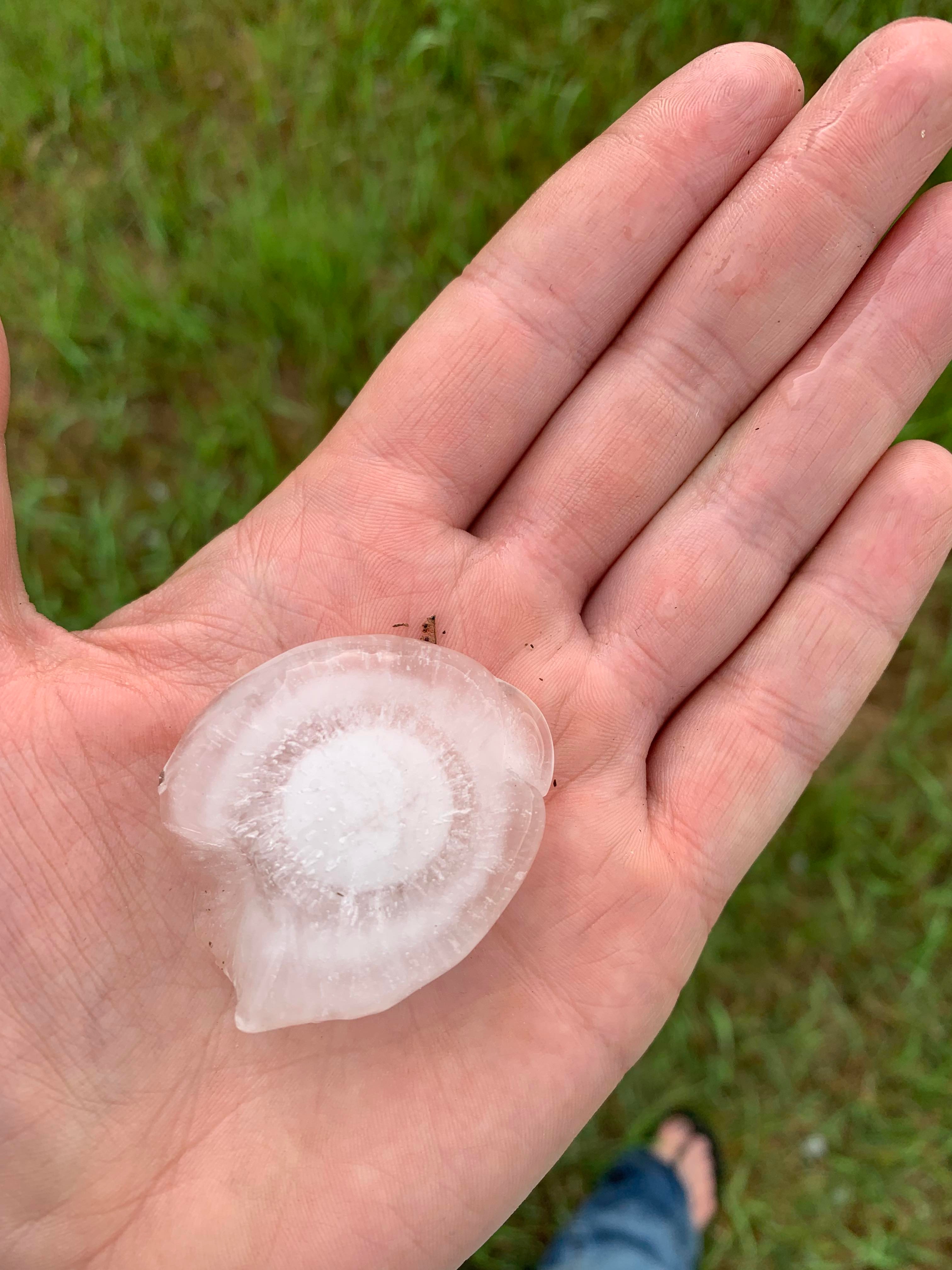
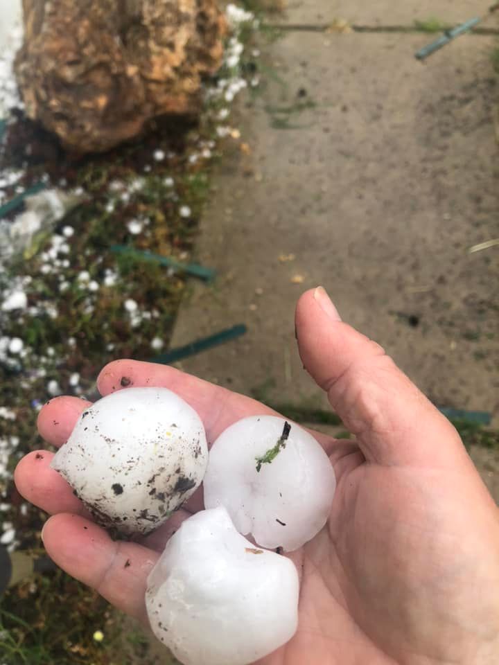
Severe thunderstorms developed on the afternoon of Thursday, July 21st, 2022 across central North Dakota. As they moved southeast, large hail ranging in size from nickel to tennis ball size were reported. This storm impacted much of northern and eastern Bismarck, and led to crop damage in south central North Dakota.
The storms produced hail in most of the city of Bismarck and cities to the southeast. The hail sizes ranged from quarters to tennis balls, with most reports in Bismarck around golf ball sized. Unfortunately, many crops were destroyed from the hail as well.
Hail Pictures
 |
 |
 |
 |
| Katie Anderson in North Bismarck | Abby Schmitz in Menoken | Tennis ball sized hail from Bridget LeMoine in East Bismarck | Laurie Hatzenbuhler 8 miles north of Solen |
Radar
 |
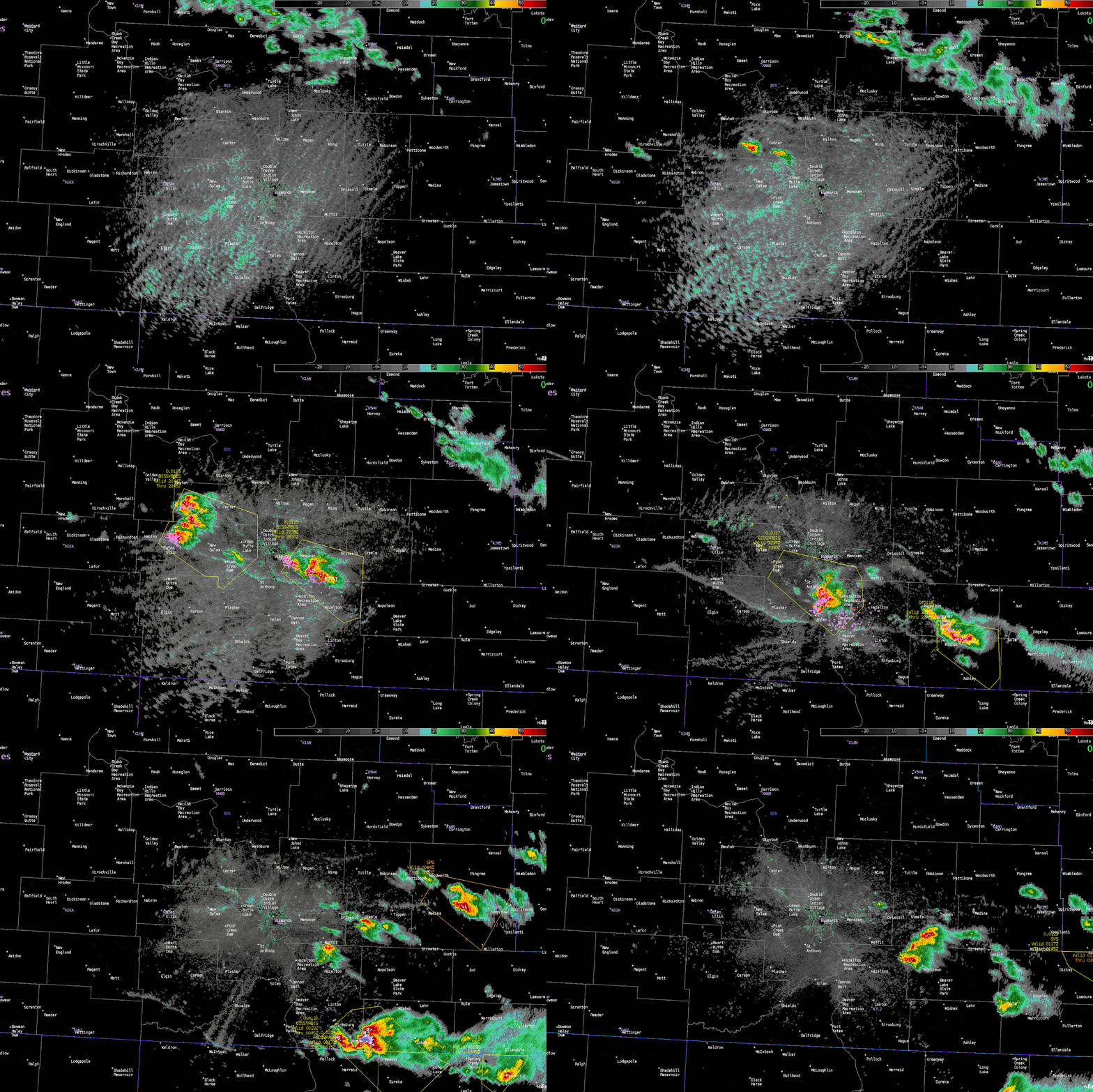
| Radar loop from the Bismarck radar KBIS. Purple dots are lightning flashes, and yellow polygons are Severe Thunderstorm Warnings. |
Storm Reports
 |
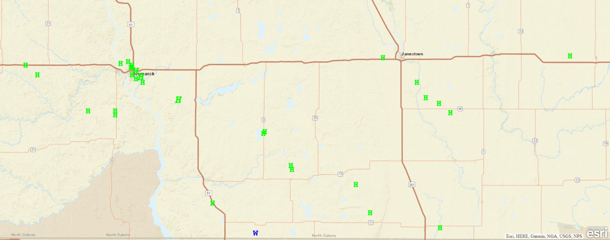
| Storm reports from July 21 (not all hail reports shown). View more reports and an interactive map on SPC. |
 |
Media use of NWS Web News Stories is encouraged! Please acknowledge the NWS as the source of any news information accessed from this site. |
 |
US Dept of Commerce
National Oceanic and Atmospheric Administration
National Weather Service
Bismarck, ND
2301 University Drive, Building 27
Bismarck, ND 58504
701-250-4224
Comments? Questions? Please Contact Us.

