
Moisture across the northern Plains, upper Great Lakes into northern New England will likely bring a period of snow, sleet and freezing rain through this weekend. Meanwhile, heavy rainfall continues along the Gulf Coast with areas of flooding. Fire weather conditions continue for the areas of the Plains, southern Appalachians into portions of Florida. Severe thunderstorm potential increasing. Read More >
Thursday, Ju ly 30th marks the anniversary of the F3 tornado that went just south of Bismarck in 1981. Visible to many from town, it was on the ground for almost 1 hour and had a damage path of approximately 18 miles. Damage included a destroyed county bridge, damaged farm buildings and fields, and at least 20 head of cattle killed. Property damage was estimated at $250,000, which is equivalent to over $700,000 in 2020. All photos are courtesy of the Bismarck Tribune.
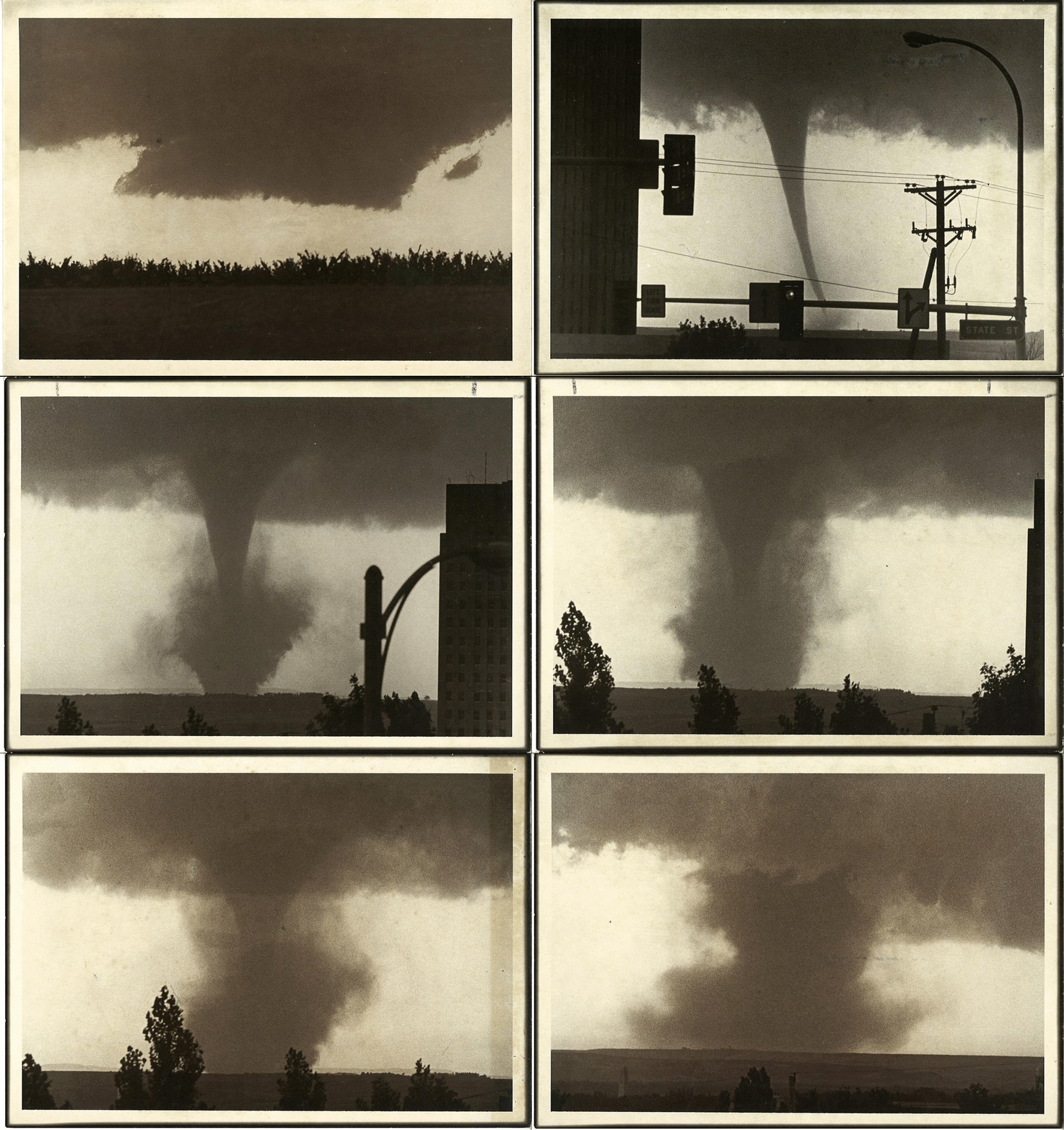
Progress of the tornado from the wall cloud to about 12 miles after touchdown.
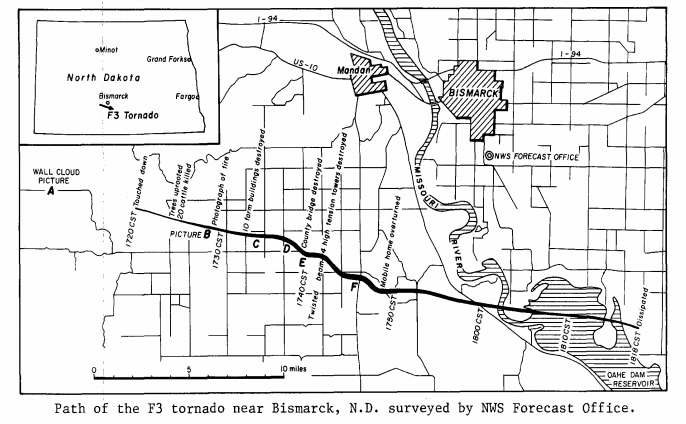
The damage path shows how the tornado started southwest of the Bismarck/Mandan area, tracking east-southeast and crossing the Missouri River before dissipating almost an hour after the initial touchdown. Locations A through F on the map correspond to pictures taken at each location, seen below.
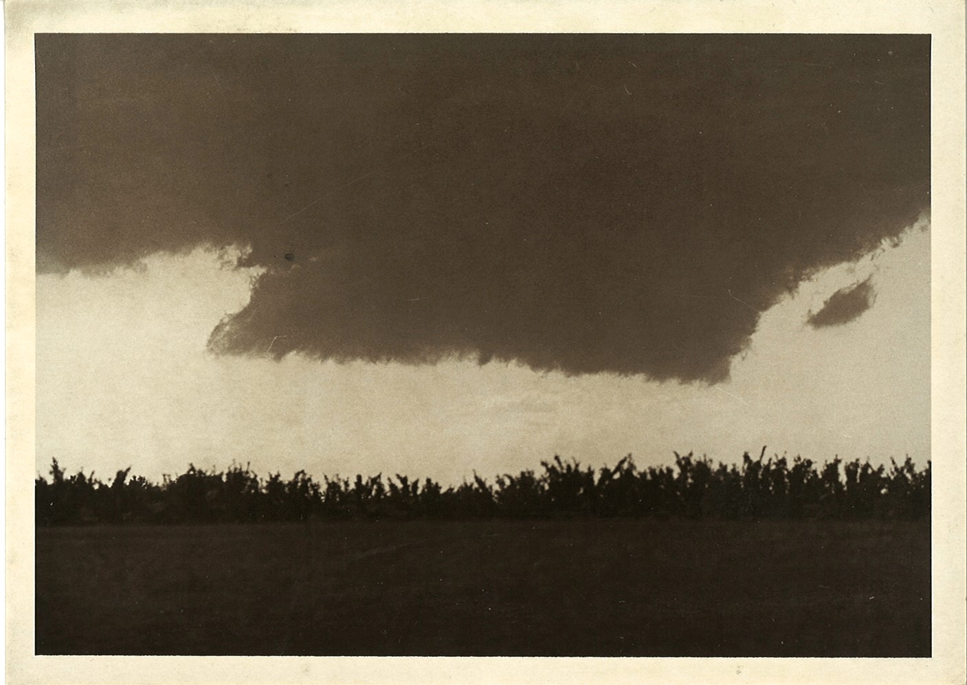

A. Wall cloud 10 minutes before touchdown B. Tornado 8 minutes after touchdown
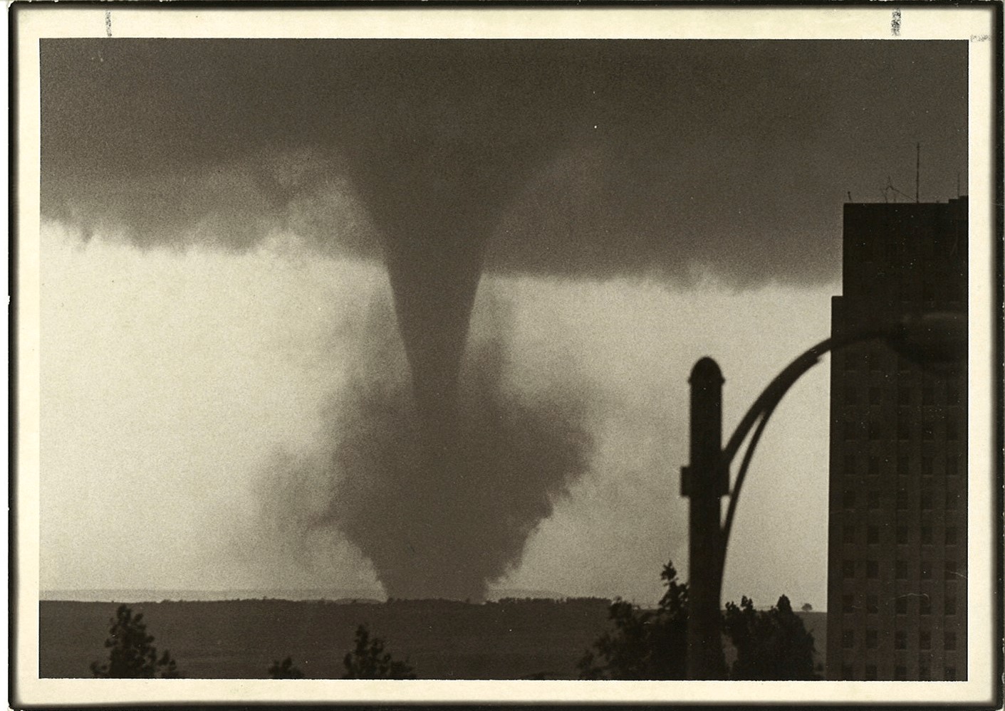
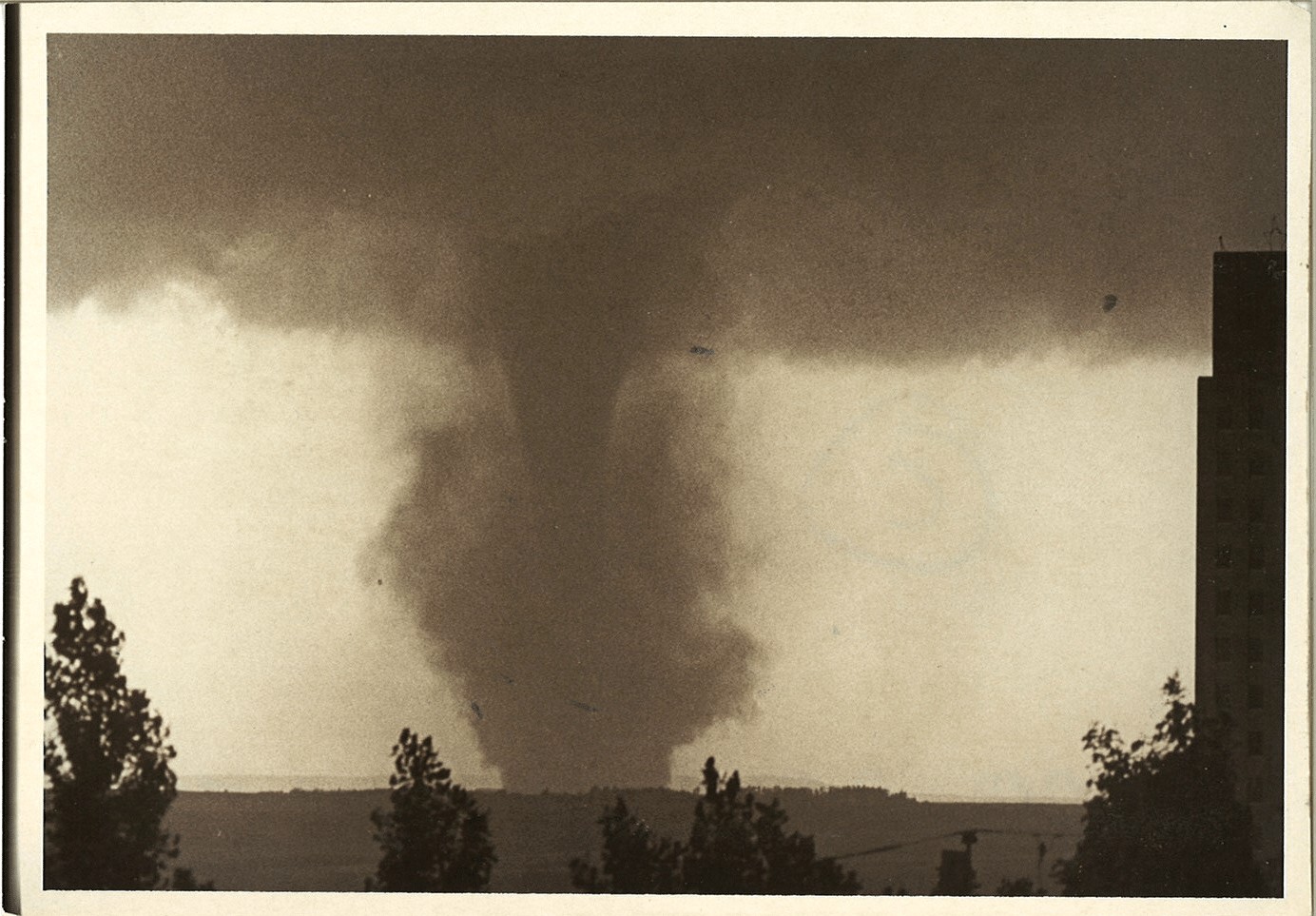
C. Tornado 13 minutes after touchdown D. Tornado 17 minutes after touchdown


E. Tornado 19 minutes after touchdown F. Tornado 25 minutes after touchdown

The intense wind speeds drove a stick between a tire and rim. This was found at an abandoned farmstead that was destroyed, about 4 miles from the initial touchdown.

When this picture was taken, the front half of the tractor still had not been found! This was about 4.5 miles from where the tornado touched down.
Other damage reported includes power poles toppled, a county bridge destroyed, a flipped trailer, over 20 head of cattle killed (with some dropped over a mile from where they were picked up), oat and corn fields damaged, and 1500 bales of hay blown away.
The Bismarck tornado was rated an F3 on the Fujita Scale, which means wind speeds were estimated at 158-207 mph, and severe damage was found. The Fujita Scale is no longer used in tornado ratings, and was replaced by the Enhanced Fujita (EF) Scale, which was implemented in February of 2007. Find out more about the original Fujita Scale and the currently used Enhanced Fujita Scale.