|
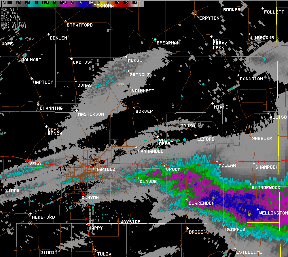
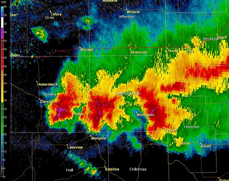
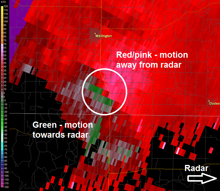
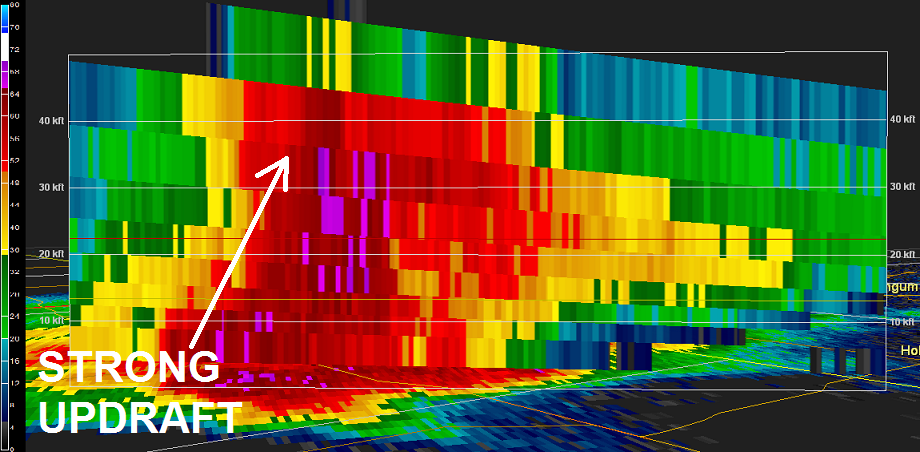
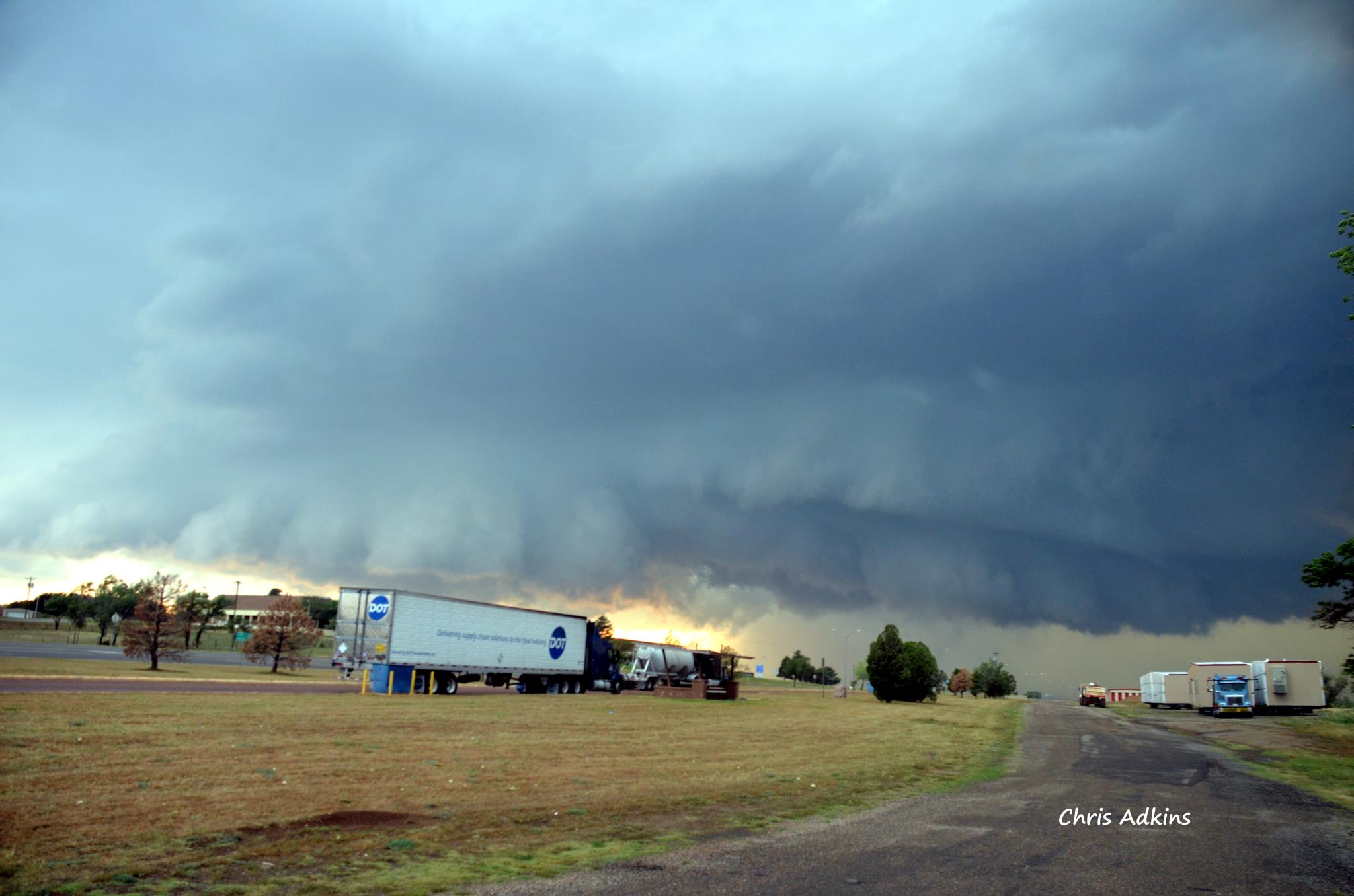
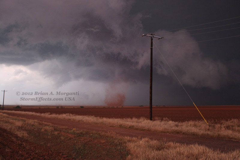
As an upper-level disturbance approached from the west, supercell thunderstorms erupted ahead of the dryline during the afternoon and evening hours of April 30, 2012. Most of the thunderstorms affected the southern Texas Panhandle, producing several reports of very large hail. In fact, golfball to tennis ball size hail was common with the most severe storms, but the largest hailstone reported fell just north of Lelia Lake in Donley County and had a diameter of 3 inches. An EF-0 tornado also occurred 7 miles south of Wellington around 8:30 p.m., making it the second tornado of the year in the Amarillo forecast area. As the supercells moved over the same areas, they produced very heavy rain, which resulted in flash flooding in Wellington and Hedley. If you have any hail pictures that you would like to share, please e-mail us at sr-ama.webmaster@noaa.gov or share them with us on Facebook.
|