
Thunderstorms, some severe, may produce heavy to excessive rainfall over portions of the Central/Southern Plains, Mississippi Valley and Southeast. Dry and windy conditions will pose an elevated fire weather risk over parts of western Florida. Read More >
Three Tornadoes Confirmed From March 31, 2017
Interactive Storm Damage Viewer: http://apps.dat.noaa.gov/StormDamage/DamageViewer/
Tornadoes:
|
Tornado - Chesapeake/Virginia Beach, VA
Track Map 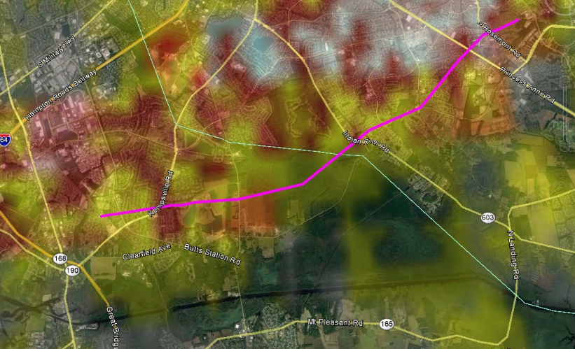
|
|||||||||||||||||
|
Tornado - 2 miles SE of Suffolk, VA
Track Map 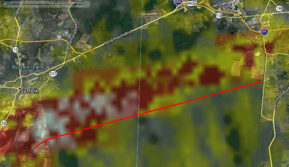
|
||||||||||||||||
|
Tornado - 1 mi south of Powellsville, NC
Track Map 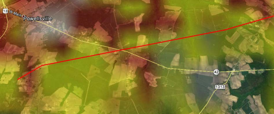
|
||||||||||||||||
The Enhanced Fujita (EF) Scale classifies tornadoes into the following categories:
| EF0 Weak 65-85 mph |
EF1 Moderate 86-110 mph |
EF2 Significant 111-135 mph |
EF3 Severe 136-165 mph |
EF4 Extreme 166-200 mph |
EF5 Catastrophic 200+ mph |
 |
|||||
Photos & Video:
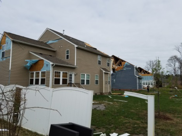
Chesapeake/Virginia Beach, VA
 |
 |
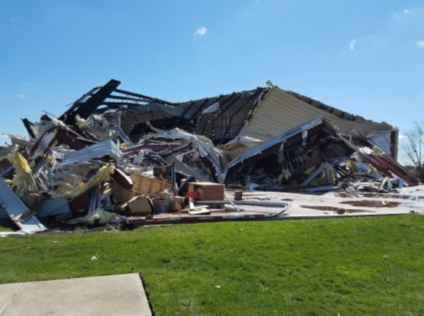 |
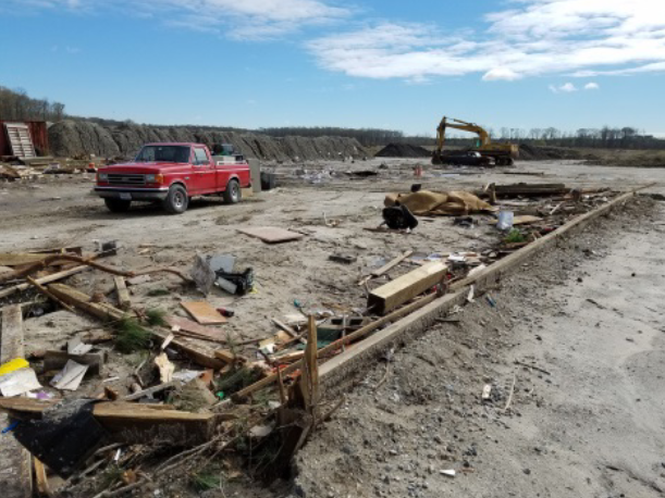
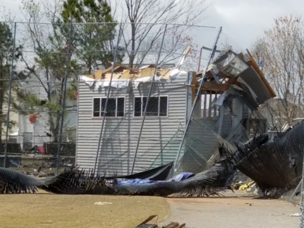
| Kemp Bridge Dr | Mobile Home near Kemp Bridge Dr | Real Life Christian Church |
 |
 |
 |
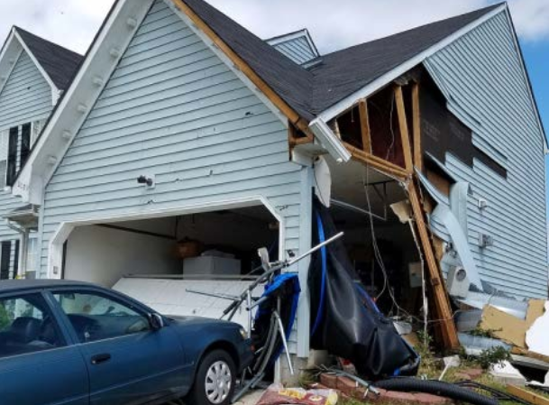
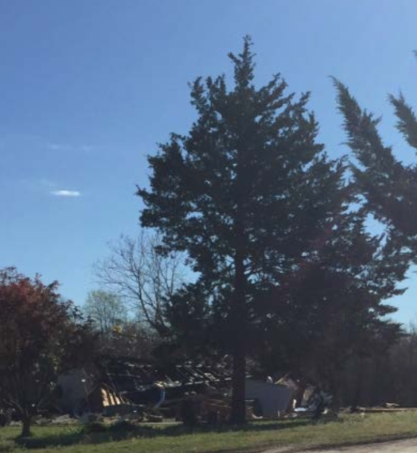
| Rock Lake Loop | Stone Gap Dr | Landstown High School |
Suffolk, VA
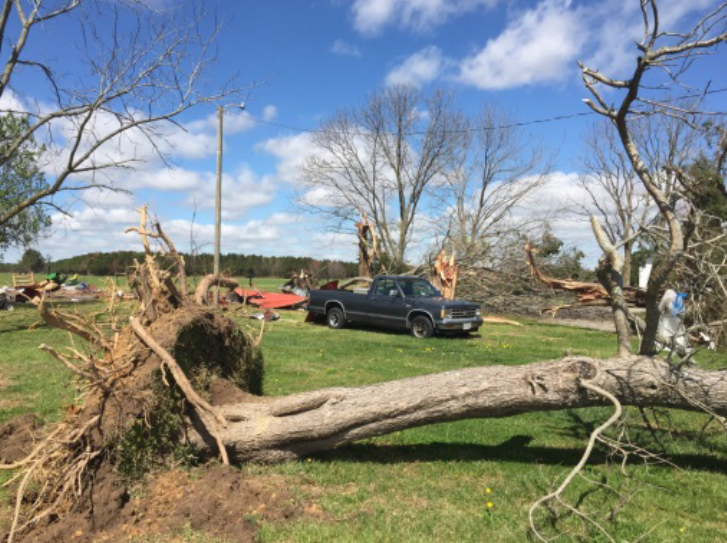 |
| White Marsh Rd near Suffolk, VA |
Powellsville, NC
 |
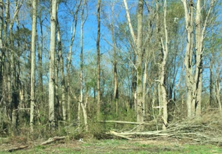 |
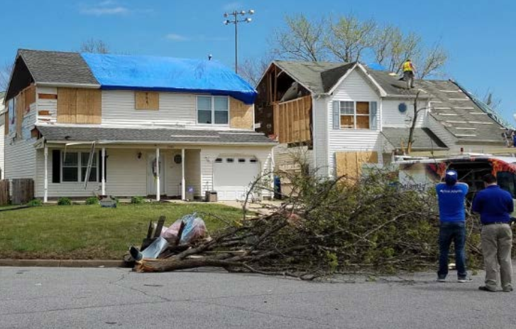
| Mobile home damage at Quebec Rd | Tree damage Sally Freeman Rd |
 |
Media use of NWS Web News Stories is encouraged! Please acknowledge the NWS as the source of any news information accessed from this site. |
|


 Coastal Flood
 Heat
Heat