Juneau, AK
Weather Forecast Office
The USGS monitoring equipment, the laser data and cameras are working.
Currently both the front and main basin cameras are sending images every 2 hour from 6am to 8pm AKDT.
The USGS installed a overflow channel camera and it is sending images. Images are sent hourly via the cell network but only sends images during low network traffic. The USGS also added a second overflow camera to the left of the current view of the overflow channel with images taken on the same schedule as the front and main basin images.
Got a new NOAA Weather Radio to receive warnings for the next Mendenhall Flood? Here are instructions for how to set it up to make sure you get the alerts!
NWS will continue to monitor the basin and this page will be updated every 2 hours throughout the event.
Mendenhall River Stage | Height:
Major Flood Stage | 14.44 ft and rising ~0.4 ft per hour
A crest at approximately 14.8 ft in Major Flood Stage is expected around 3 pm Thursday.
Current Basin Status: Release Ongoing
A release from Suicide Basin is ongoing as water levels on the USGS laser data and monitoring equipment continue to drop, with the current water level within Suicide Basin around 1015 ft and falling. The water level in the basin will continue to drop through the release.
Here is the NWS event report from the record 16.65ft major flooding event that occurred on August 13th 2025.
Specialty Areas
Space Weather
Spot Forecast
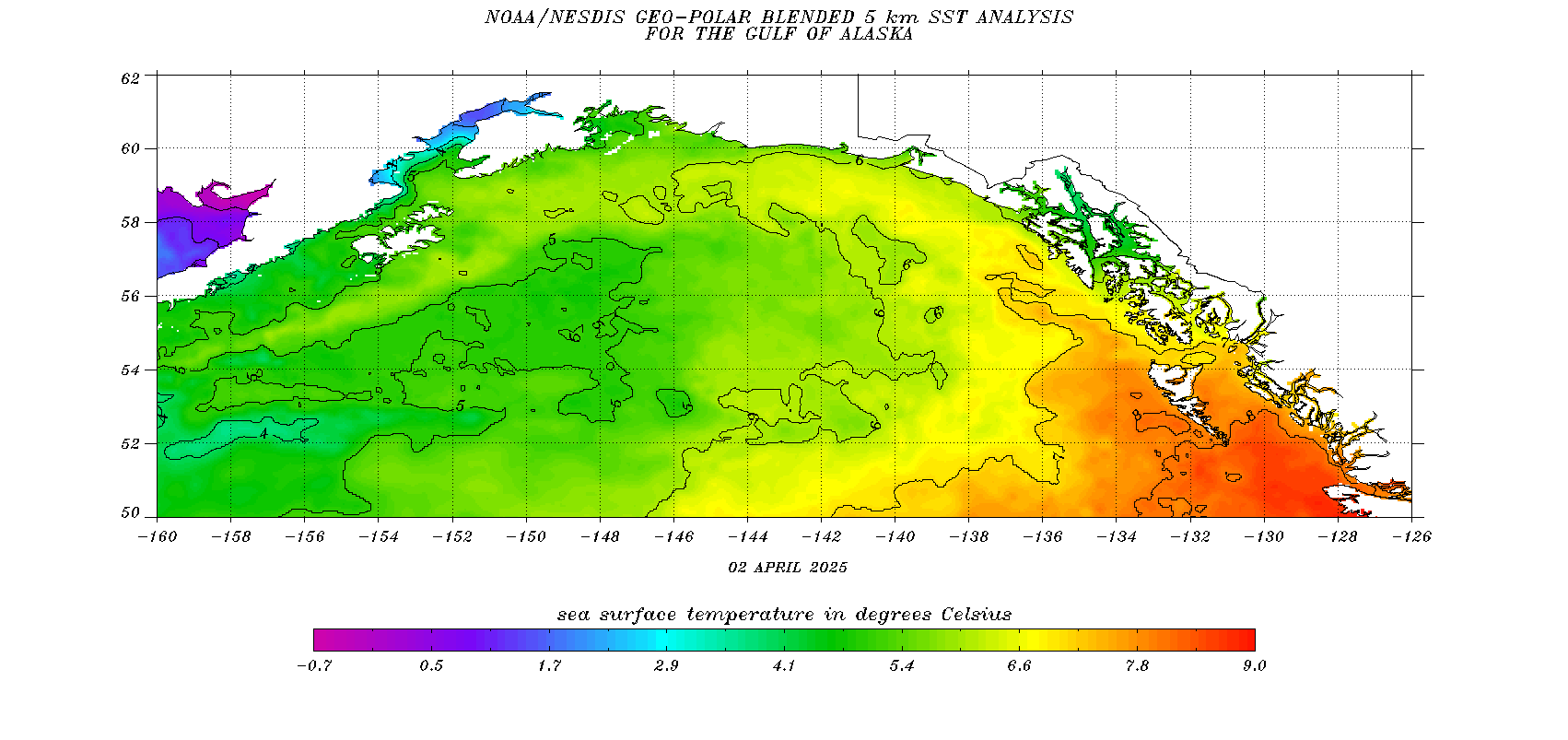
Ocean Surface Temperatures
Tide Data
COOP Program
Observation Newsletters
Juneau Wind Network
SkyWarn
NOAA Weather Radio
Tsunami Warning Center
Alaska Weather Line (AWIL)
External Links
FAA Aviation Web Cameras
DOT Web Cameras
CoCoRahs
Aurora Forecasts
Sunrise / Sunset Times
Canadian Weather - Marine
Canadian Weather - Public
AK 511
Yukon 511
Drive BC
CBJ Avalanche Forecast
CBJ Air Quality

US Dept of Commerce
National Oceanic and Atmospheric Administration
National Weather Service
Juneau, AK
8500 Mendenhall Loop Road
Juneau, AK 99801
907-790-6800
Comments? Questions? Please Contact Us.


 Follow us on X
 Follow us on Facebook
 AJK RSS Feed