[JUL 17]
🔥 Elevated fire danger continues today. Warm temperatures, breezy winds, and dry vegetation can allow fires to spread quickly.
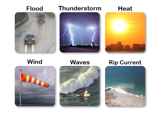
🌡️ Hot temperatures will continue today. Stay hydrated and limit strenuous outdoor activities during the hottest part of the day.
---------------------------------------------------
🔥 El peligro elevado de incendios continúa hoy. Las altas temperaturas, los vientos, y la vegetación seca favorecen la rápida propagación del fuego.
🌡️ Las altas temperaturas continuarán hoy. Manténgase hidratado y limite las actividades al aire libre durante las horas más calurosas del día.
#PRwx #USVIwx


 7-Day Graphical Hazardous Weather Outlook
 Tropical Analysis
 Tropical Weather
 Regional Satellite
 Puerto Rico and US Virgin Islands