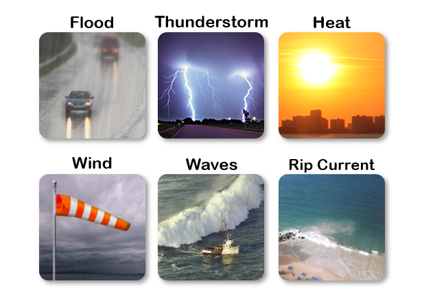
National Weather Service United States Department of Commerce

Increased Risks for Severe Thunderstorms and Excessive Rainfall in the South-central U.S. Today

An Enhanced Risk (Level 3 of 5) for severe thunderstorms is forecast today in the lower Missouri River Valley. Very large hail, damaging wind gusts, and a couple strong tornadoes are possible. A Slight Risk (Level 2 of 5) for excessive rainfall is forecast today from northeast Texas into central Missouri. Flash, urban, and river flooding may become possible. Read More >

Click a location below for detailed forecast.

Last Map Update: Fri, Apr. 26, 2024 at 8:41:25 am AST

National Weather Service Key West, FLNational Weather Service Miami - South FloridaNational Weather Service Southern Region Headquarters
National Weather Service Southern Region HeadquartersZoom
Out

National Weather Service Southern Region Headquarters
National Weather Service Southern Region HeadquartersNational Weather Service Southern Region HeadquartersNational Weather Service Southern Region Headquarters

TJUA Radar - Cayey, PR
There is an elevated risk for flooding of urban areas and small streams for the interior and western PR due to the influence of a surface trough that will continue to impact the local weather conditions for the next few days.
Moderate risk of rip currents along the northern beaches of Puerto Rico, Vieques, Culebra, and the U.S. Virgin Islands due to the arrival of a small northwesterly swell across the local waters.