
High winds and very dry conditions will continue to produce elevated to critical fire weather conditions over portions of New Mexico and far western Texas through Saturday. Heavy snow will continue in the Central Rockies Heavy rain, flooding, and severe thunderstorm risks increase from the Southern Plains into the Lower Missouri Valley this weekend. Read More >
Last Map Update: Thu, Apr 17, 2025 at 10:02:22 pm PDT
|
Text Product Selector (Selected product opens in current window)
|
|


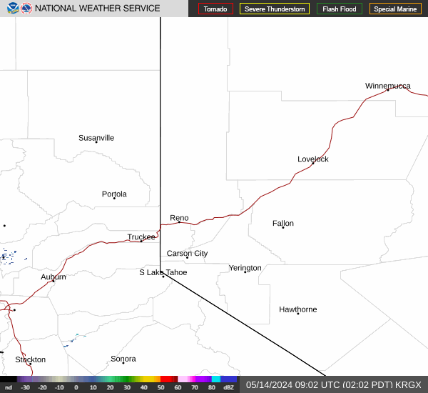 Radar
Radar Satellite
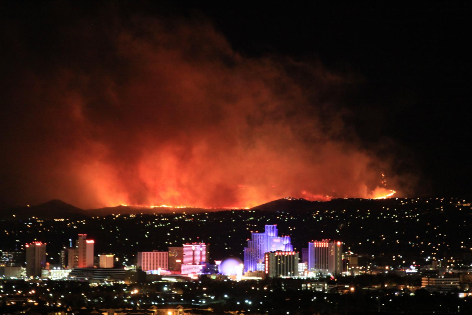 Fire Weather
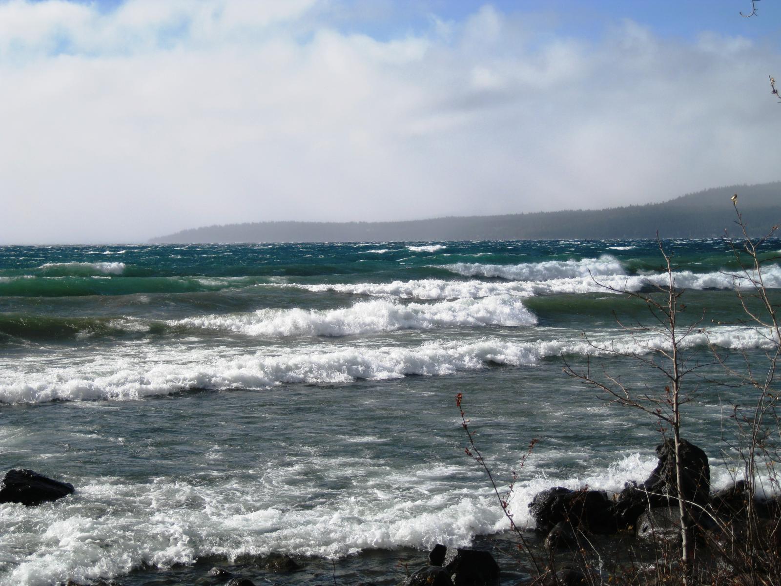 Lake Forecasts
 Snow & Avalanche
 Recent Temp & Precip
 Mountain Observations & Remote Data
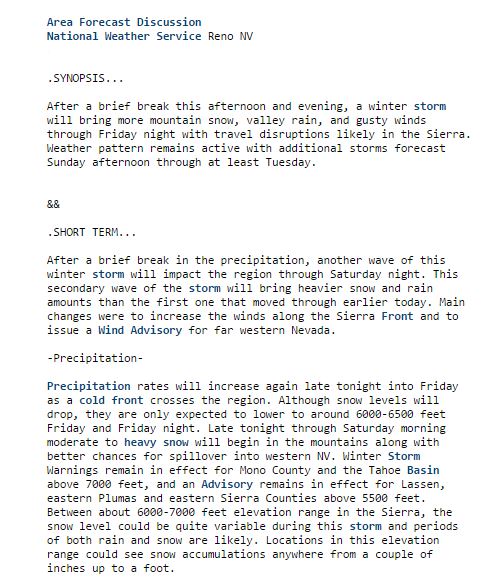 Forecast Discussion
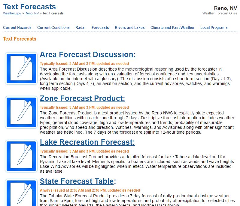 Text Forecasts
 Graphical Forecasts
 Forecast Weather Tables
 Social Media