Temperatures will tend to be near normal through early next week. Although they will briefly go slightly above normal on Friday and will be below normal on Sunday. Daily breezy to windy conditions are expected to continue, mainly during the afternoon and evening hours. The highest wind speeds through early next week will be this weekend, as a result of a weather system moving through the region. This weather system will also bring low end chances (<20%) for rain Saturday night, best chances across the higher terrain.


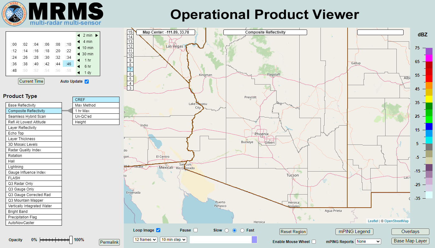 MRMS Radar Imagery
 Phoenix Radar
 Yuma Radar
 Regional Satellite
 GOES-19 Satellite
.PNG) Weather & Hazards Data Viewer
Weather & Hazards Data Viewer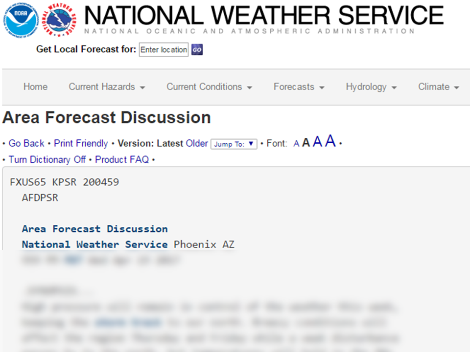 Forecast Discussion
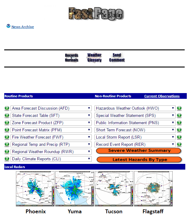 Fast Page
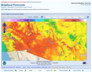 Local Graphical Forecast
 Drought Monitor
 Monsoon Tracker
 Fire Weather
 Heat
Heat Experimental Graphical HWO
 SPC Outlooks
 Hurricane Outlook
 Local Climate Information
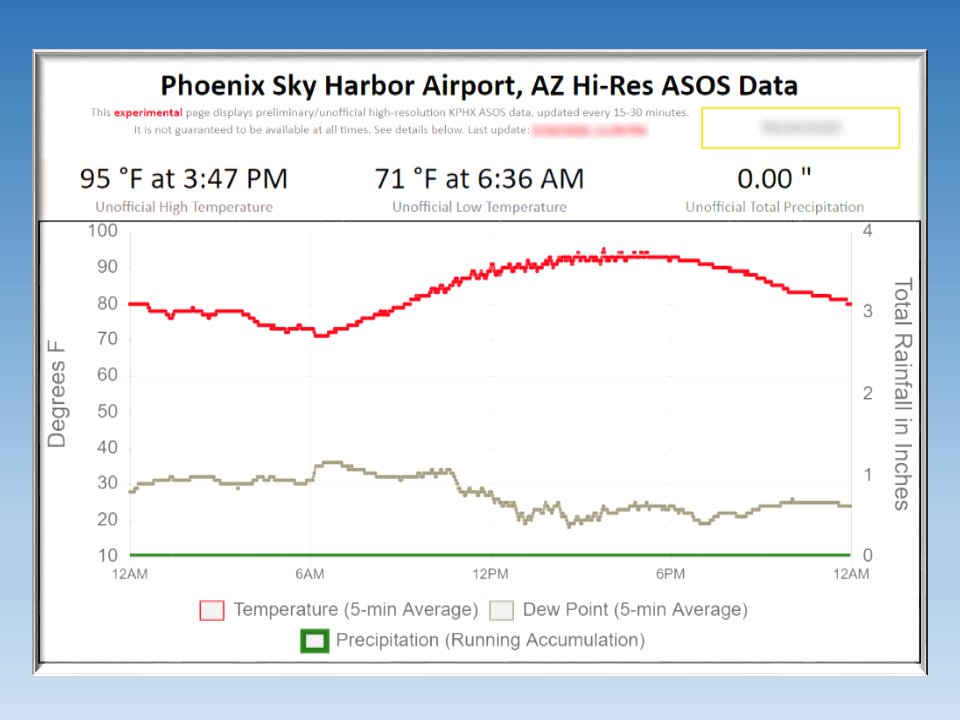 Hi-res KPHX ASOS Data