National Weather Service United States Department of Commerce

Thunderstorms and Heavy Rainfall in the Mid-Atlantic and Southern New England; Fire Weather Concerns in the West

Heavy rain and isolated severe thunderstorms may continue to bring flash and urban flooding to the northern Mid-Atlantic and southern New England through tonight. Isolated dry thunderstorms will continue to bring a fire weather threat to the northwestern Great Basin through Friday. Read More >

Click a location below for detailed forecast.

Last Map Update: Thu, Jul 31, 2025 at 10:06:09 pm MST

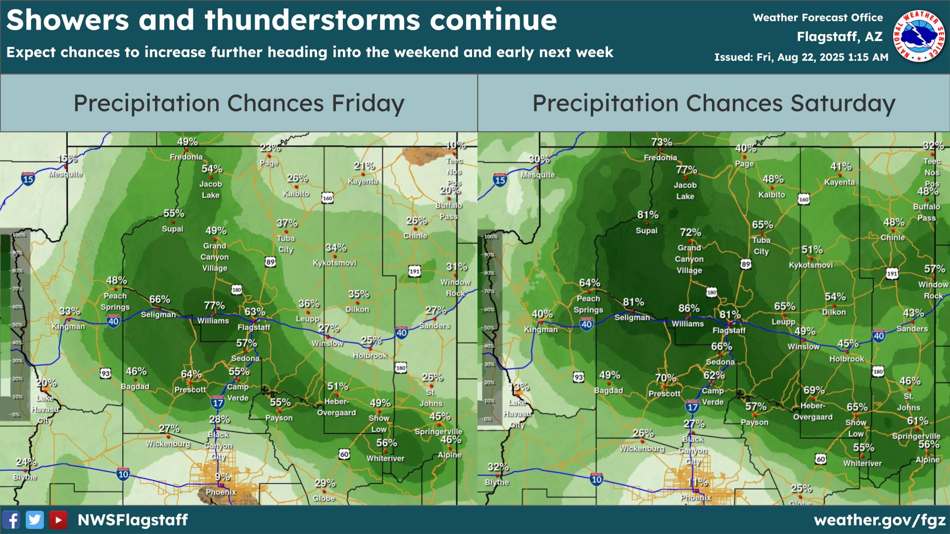
Hot daytime highs will continue for the next several days. Slight chances for showers/storms across the eastern Mogollon Rim and White Mountains through the end of the week with much of the region remaining dry.
An Extreme Heat Warning remain in effect through Sunday 7 PM MST for the lower elevations of the Grand Canyon.
With the lack of monsoon moisture, fire weather concerns will continue to be a topic of conversation. Be sure to obey all fire restrictions!


Text Product Selector (Selected product opens in current window)