National Weather Service United States Department of Commerce

Heat Continues for the East and South-Central U.S.; Strong to Severe Storms Across the Mid-Atlantic and Northeast

The extremely dangerous heat wave continues across the East Coast and much of the South-Central U.S. today. Record high temperatures are expected for some areas especially across the Mid-Atlantic where extreme heat risk conditions reside. There is a Slight Risk (level 2 of 5) of severe thunderstorms today for the northern Mid-Atlantic into portions of southern New England. Read More >

ZOB Briefing Sheet
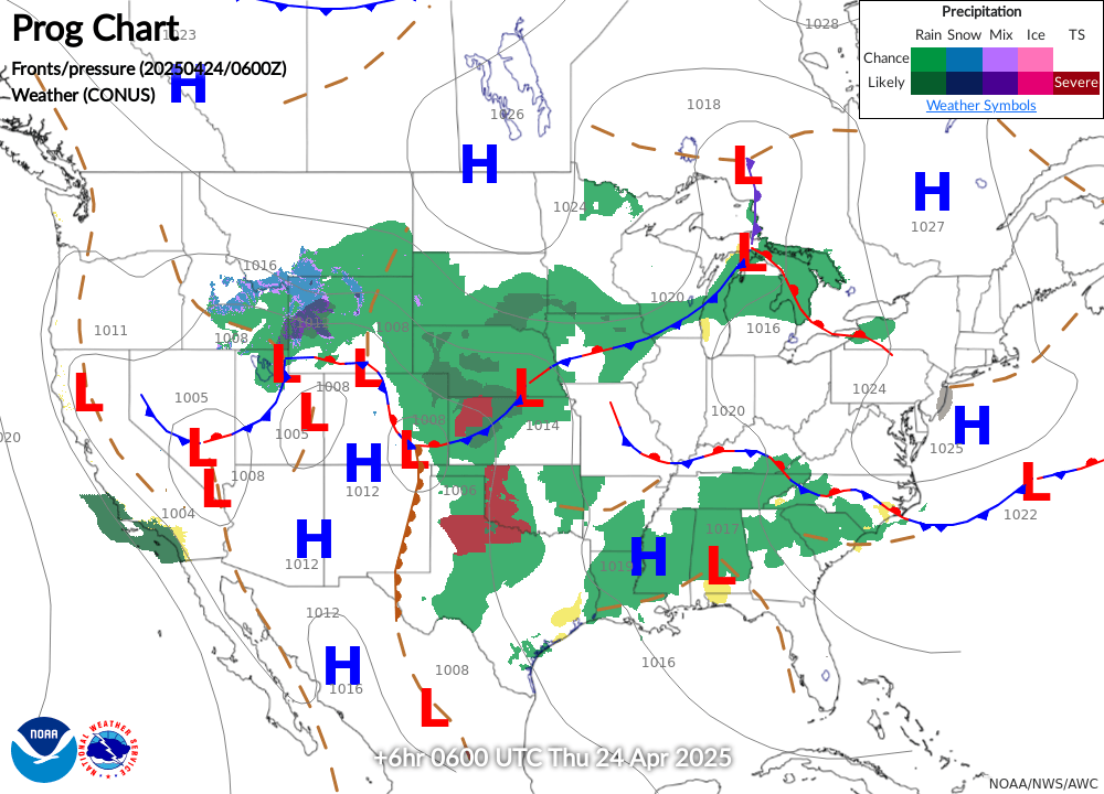
NWS Latest Surface Analysis
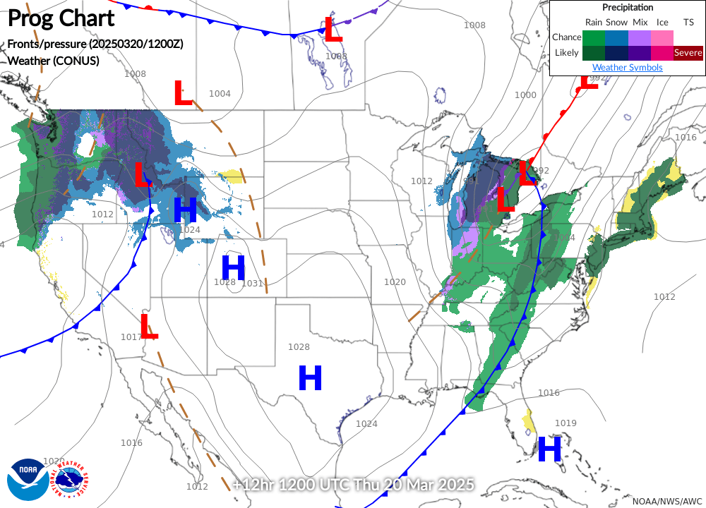
NWS 12-HOUR Surface Forecast
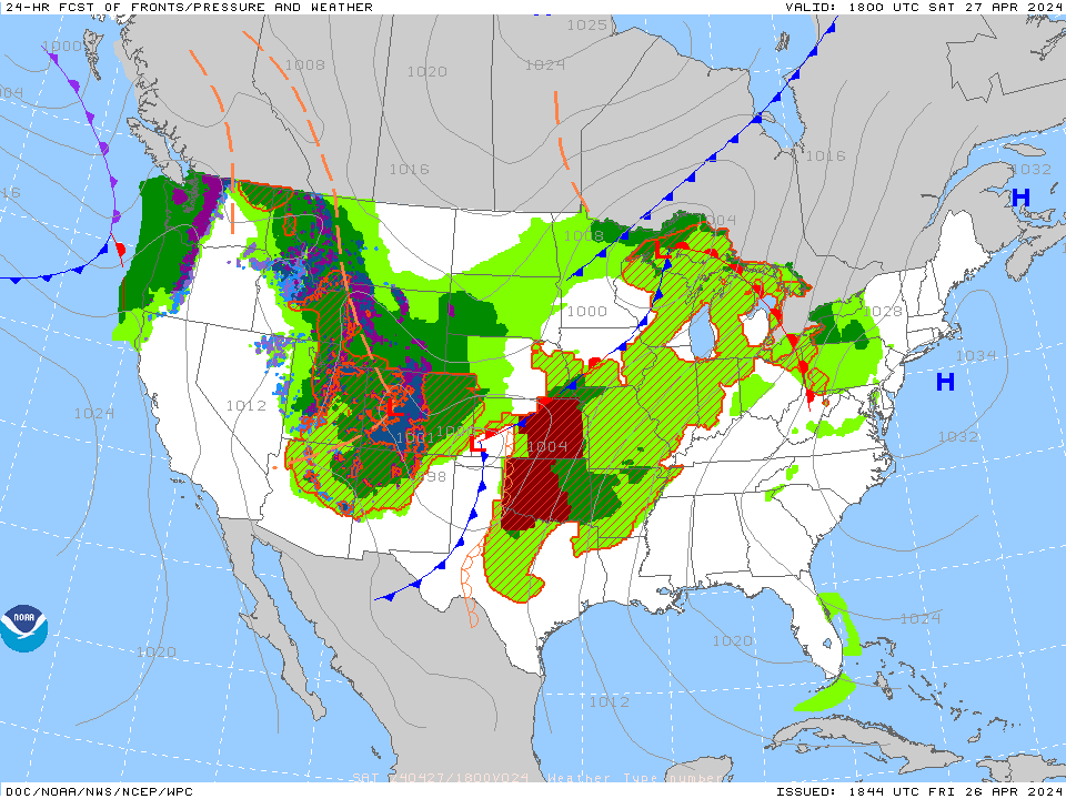
NWS 24-HOUR Surface Forecast
Latest Visible Satellite
Latest Infrared Satellite
Regional Radar Mosaic
PIREPs - Turbulence - 00hr w/GTG
Current Turbulence SIGMETs
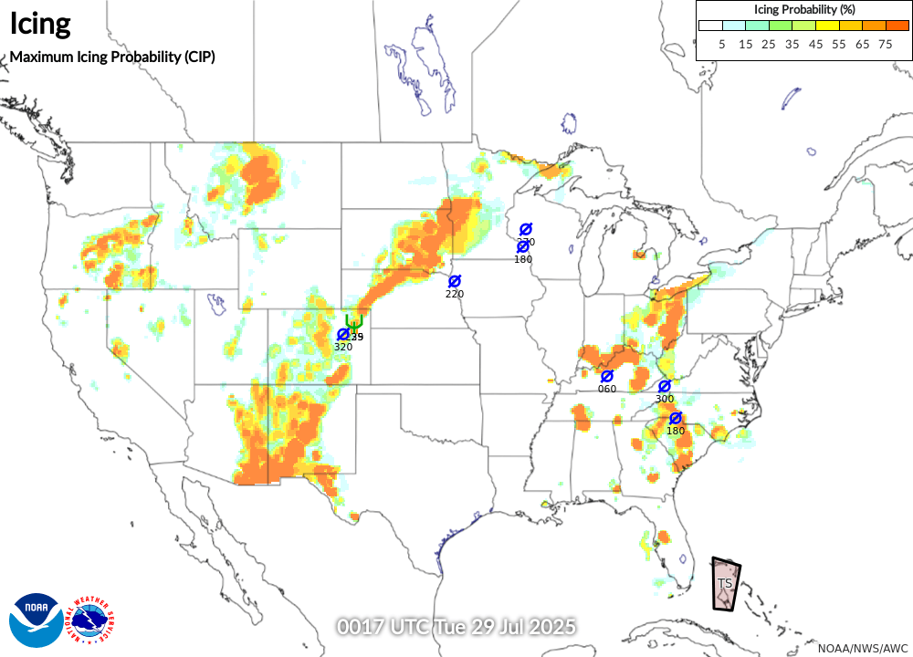
PIREPs - Icing - 00hr w/CIP (last 2 hours)
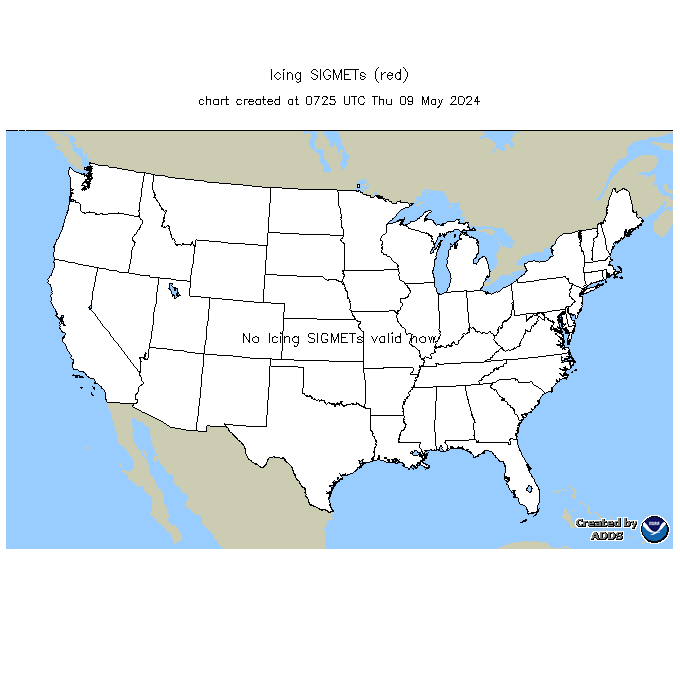
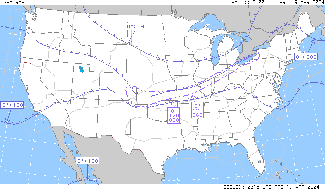
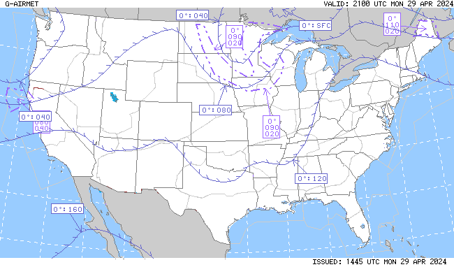
Current Icing SIGMETs
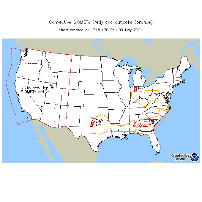
Current Convective SIGMETs
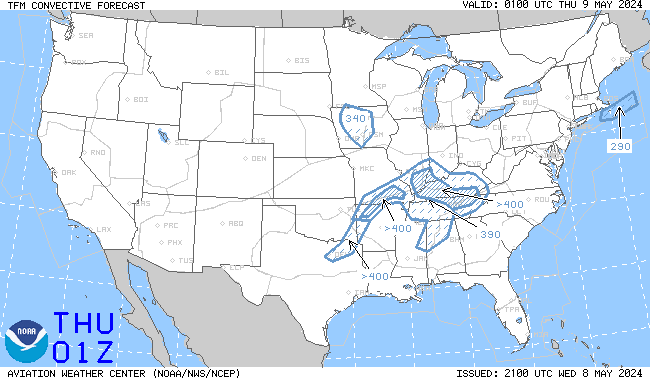
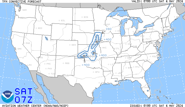
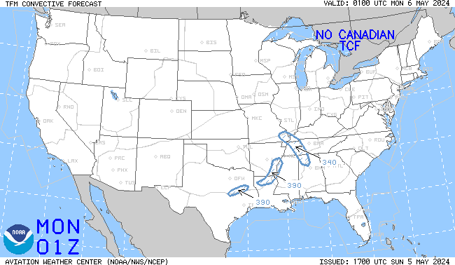
TCF 4-hour Convective Forecast (updated every 2 hours)
TCF 6-hour Convective Forecast (updated every 2 hours)
TCF 8-hour Convective Forecast (updated every 2 hours)
NWS Storm Prediction Center (SPC) - Current Day 1 Outlook (SEVERE)
NWS Storm Prediction Center (SPC) - Current Day 2 Outlook (SEVERE)
Lowest Freezing Level (Analysis)
Lowest Freezing Level (6-Hour Forecast)
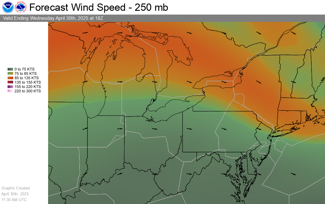
Current FL360 Winds
Forecast FL360 Forecast Winds)
Current FL300 Winds
Forecast FL300 Forecast Winds
Current FL090 Winds
Current FL030 Winds