
Strong to severe thunderstorms will continue tonight across portions of the Ohio Valley into the Mid-Atlantic. Heavy rains may bring an isolated flash flooding threat over the central Appalachians, particularly in West Virginia. Moderate to heavy snow will continue over portions of northern Minnesota and the Upper Peninsula of Michigan through Tuesday morning. Read More >
Cleveland CWSU
Center Weather Service Unit
 |
||
|
Click here for the latest regional surface plot.
|
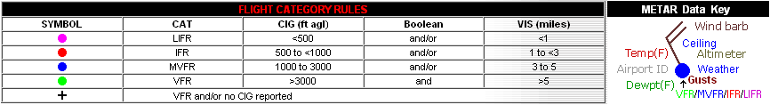
 SIGMETS: ICE | TURB | IFR | CONV | ALL |
|
|---|
|
Cleveland Center Weather Service Unit (CWSU)
|
| Mission: Our main responsibility is to provide up to the minute weather information to FAA Supervisors and the ZOB Traffic Management Unit (TMU). Some of the products issued by the CWSU are the Center Weather Advisories (CWA) and the Meteorological Impact Statement (MIS). The CWA is an aviation weather warning for thunderstorms, severe icing or turbulence, and low IFR ceilings and visibility. The MIS is a 2-12 hour forecast for weather conditions, which are expected to impact ARTCC operations. |
|
US Dept of Commerce
National Oceanic and Atmospheric Administration
National Weather Service
Cleveland CWSU
Cleveland ARTCC Attn:CWSU
326 East Lorain Street
Oberlin, OH 44074
Comments? Questions? Please Contact Us.


