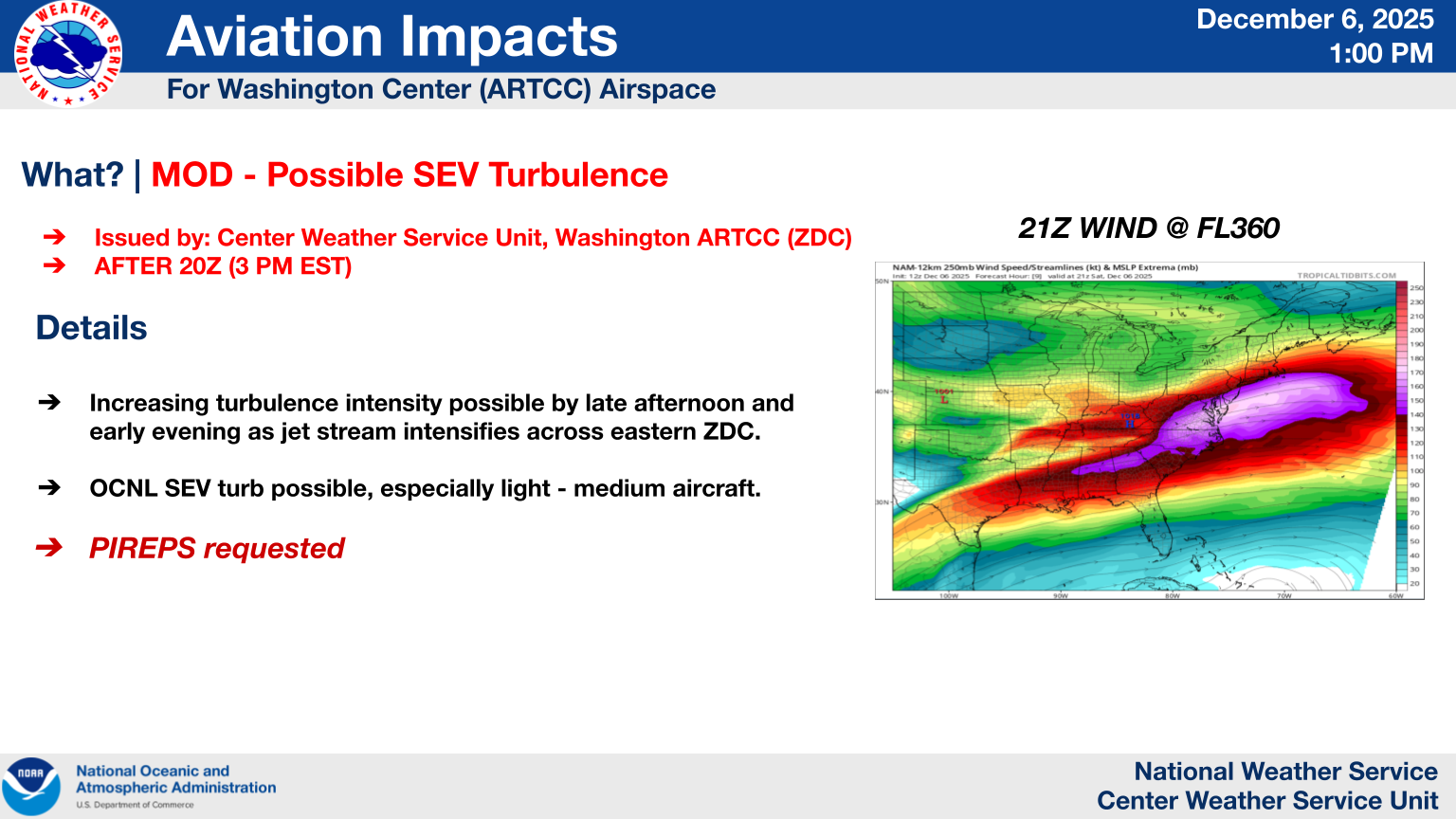
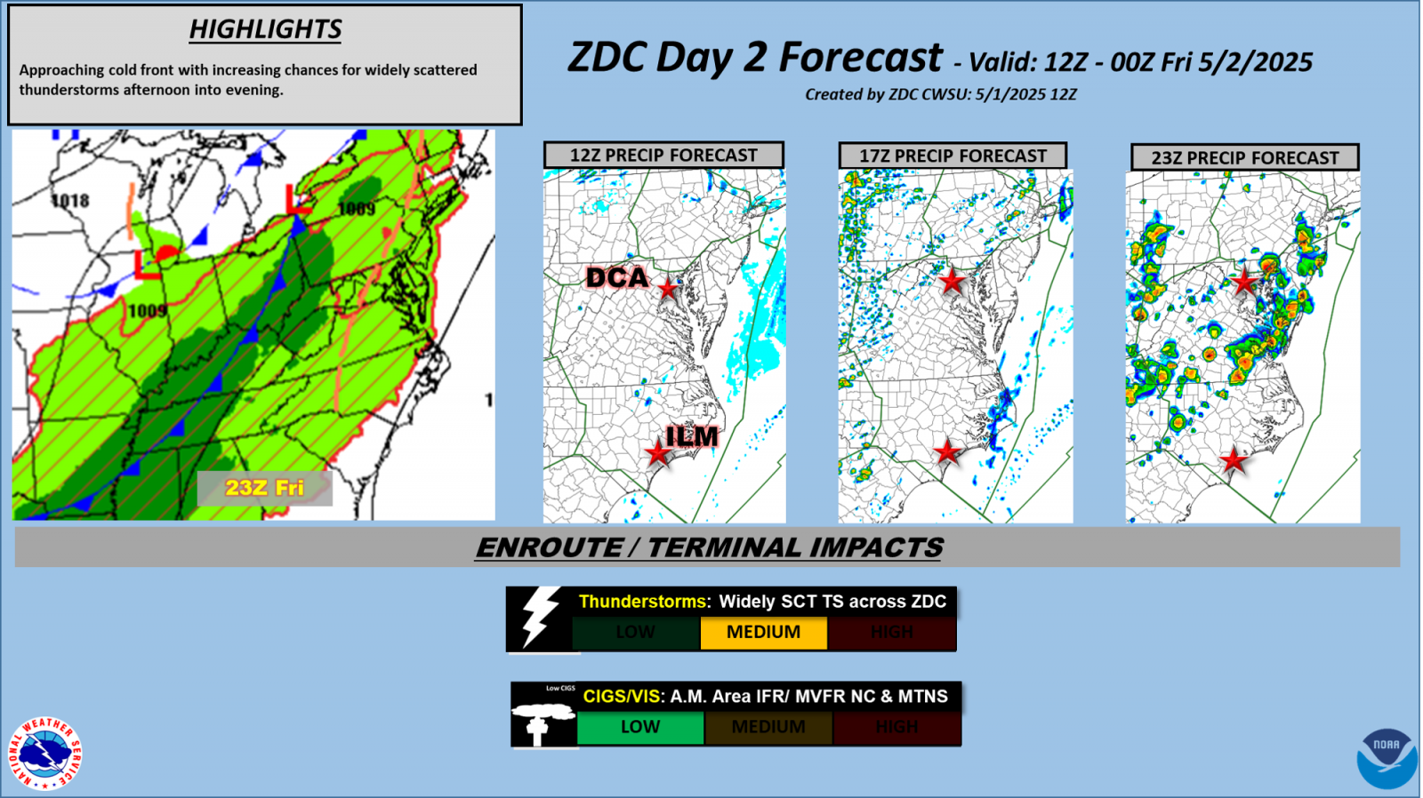
A slow moving front will produce a threat for heavy rainfall and severe weather from the southwest into the western High Plains through the weekend. Heavy rainfall and isolated flash flooding and gusty winds will be possible this weekend into early next week in portions of southern Florida. Coastal flooding impacts remain possible through the weekend along the Southeast and Mid-Atlantic coasts Read More >
Washington CWSU
Center Weather Service Unit
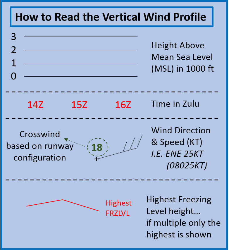
FAYDefault Runway is 4/ 22 |
 |
|
|
|
 |
 |
|
|
|
 |
 |
|
|
|
|
|
|
|
|
|
|
|
|
|
 |
 |
|
|
|
 |
 |
|
|
|
 |
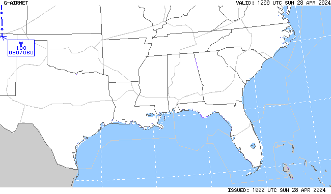 |
|
|
|
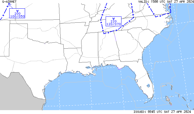 |
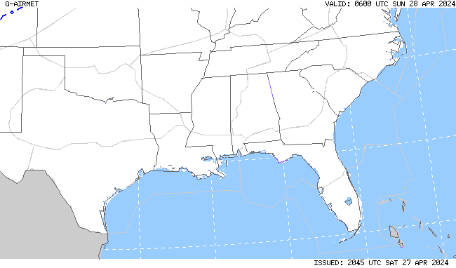 |
|
|
|
Return to CWSU ZDC homepage here.

US Dept of Commerce
National Oceanic and Atmospheric Administration
National Weather Service
Washington CWSU
Washington ARTCC Center Weather Service Unit
825 East Market Street
Leesburg, VA 20176-4496
703-771-3480
Comments? Questions? Please Contact Us.



 Follow us on Facebook
 ZDC RSS Feed