
Severe thunderstorms are forecast through this weekend along a slow moving cold front and secondary storm system that will impact areas from the southern Plains to the Great Lakes. Large hail and isolated damaging wind gusts are the main threats with these storms along with a risk for heavy to excessive rainfall which could bring flooding. Read More >
Topeka, KS
Weather Forecast Office
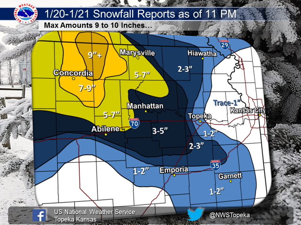
A winter storm moved across the region beginning Wednesday January 20th and continued through much of the day Thursday January 21, 2016. Folks across north central Kansas have been reporting some impressive snow totals from the winter storm. Much of north central Kansas received between 5 and 9 inches of snow with the highest amount of 10 inches coming in from Barnes. The storm system was slow moving with snow beginning Wednesday evening over north central Kansas, and then it just pivoted over the area for much of Wednesday night and Thursday morning. Eventually the snowfall started spreading east across northeast and east central Kansas. However the system weakened as the snow moved east so snow amounts were lower.
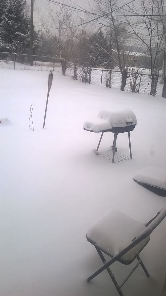
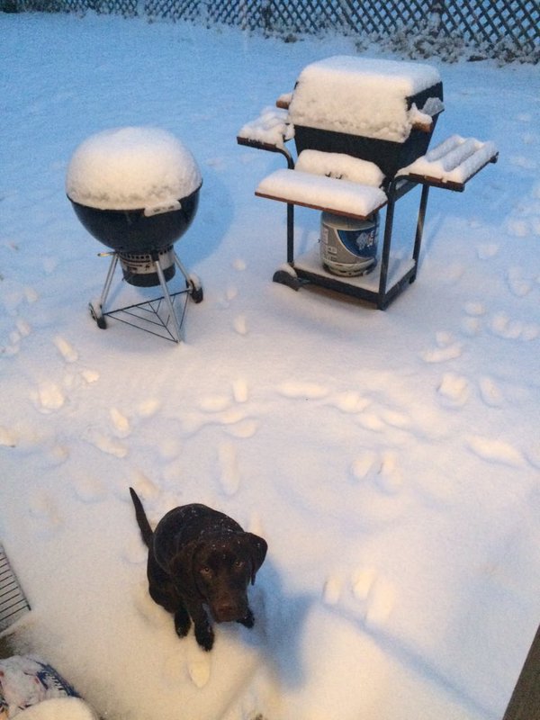
Below are some images of the snow from around the area.
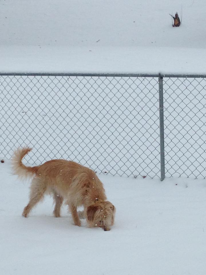
Left: A four legged friend hunting through the snow near Fort Riley, KS Photo courtesy of Bonnie Congdon
Right: Snow piling up in the back yard near Junction City, KS Photo courtesy of Christine Jones
More fun in the snow near Manhattan, KS Photo courtesy of Jared Ireland
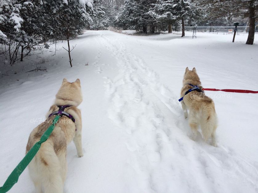
Dogs enjoying the snow near Manhattan, KS on Thursday January 21, 2016
Photo courtesy of Karen Kryschtal
US Dept of Commerce
National Oceanic and Atmospheric Administration
National Weather Service
Topeka, KS
1116 NE Strait Avenue
Topeka, KS 66616-1667
785-234-2592
Comments? Questions? Please Contact Us.

