A storm system will progressively develop over the Eastern U.S. into the weekend. Scattered strong-severe thunderstorms may produce hail and damaging winds from portions of the lower Ohio Valley into the Deep South this afternoon. Areas of mixed rain and wet snow showers will impact the the Great Lakes to interior New England. Heavy rain will spread into the Mid-Atlantic and Northeast on Friday. Read More >
San Juan, PR
Weather Forecast Office
| Puerto Rico and the U.S. Virgin Islands |
|
Visible
|
IR
|
Fire Weather
|
 |
 |
 |
Additional Puerto Rico and U.S. Virgin Islands imagery and enhancements
| West Atlantic Imagery |
|
Visible
|
IR
|
Water Vapor
|
 |
 |
 |
Additional West Atlantic imagery and enhancements
| Central Atlantic Imagery |
|
Visible
|
IR
|
Water Vapor
|
 |
 |
 |
Additional Central Atlantic imagery and enhancements
| East Atlantic Imagery |
|
Visible
|
IR
|
Water Vapor
|
 |
 |
 |
Additional East Atlantic imagery and enhancements
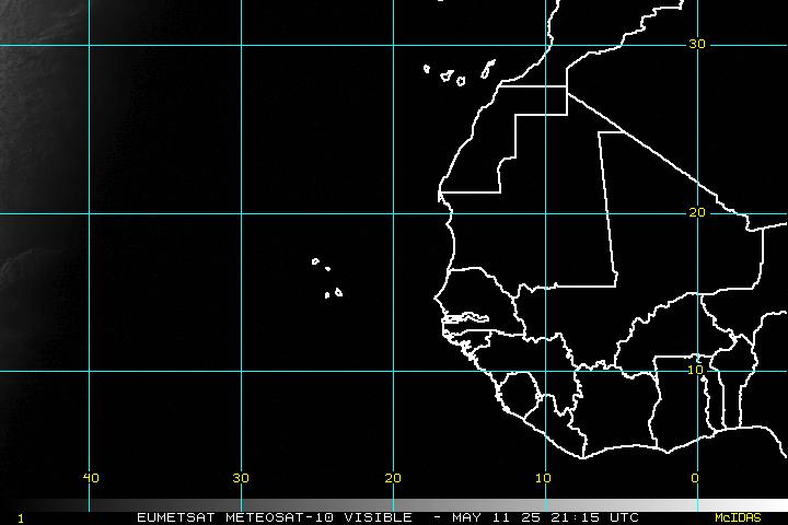
Atlantic and Caribbean Tropical Satellite Imagery
High Resolution Satellite Images of Caribbean
Forecasts
Graphical
Tropical Weather
Aviation Weather
Hydrology
Marine Weather
Beach Forecast
Fire
Forecast Discussion
US Dept of Commerce
National Oceanic and Atmospheric Administration
National Weather Service
San Juan, PR
4000 Carretera 190
Carolina, PR 00979
787-253-4586
Comments? Questions? Please Contact Us.


 Graphical Hazardous Weather Outlook
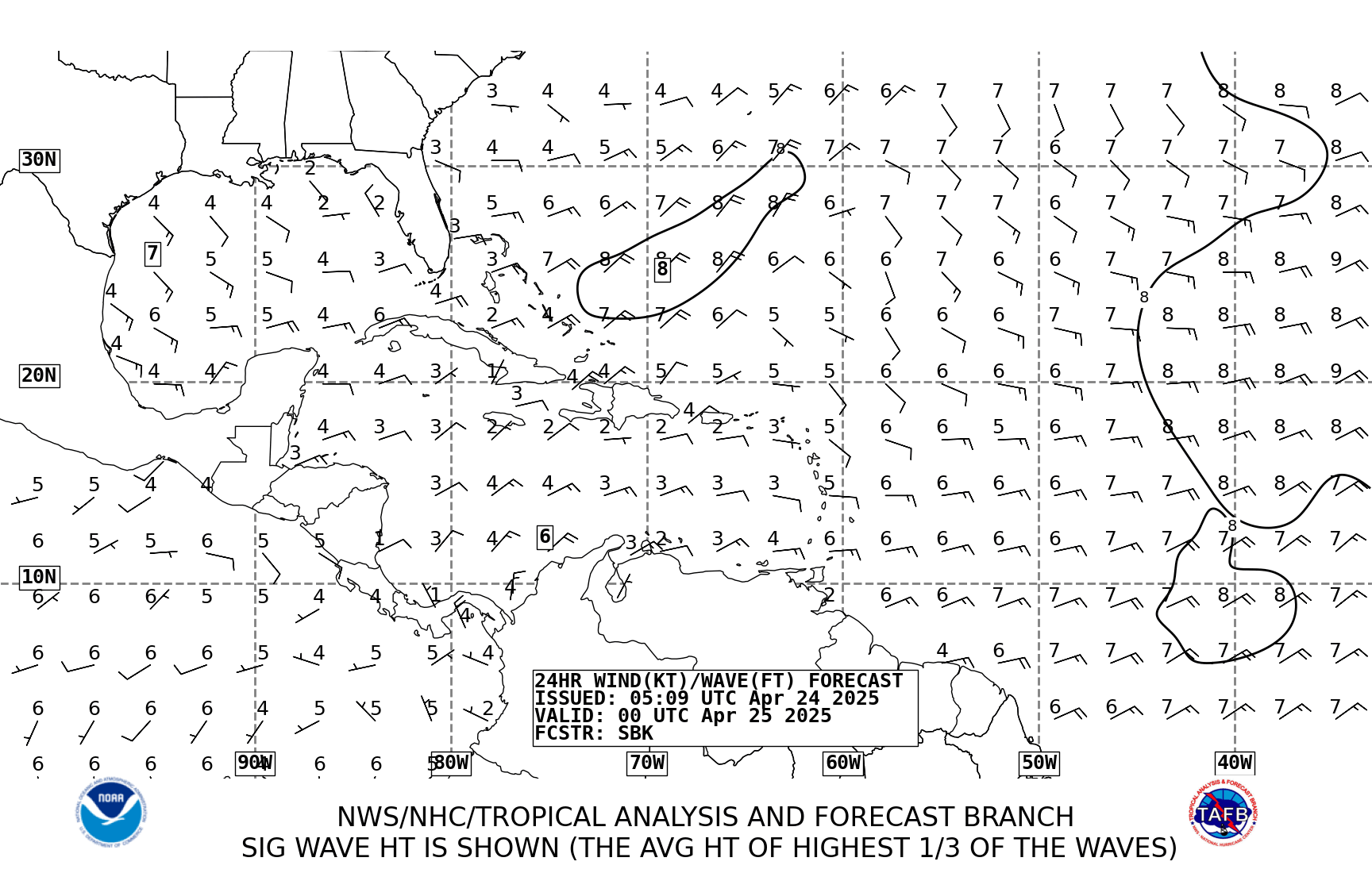
 Tropical Analysis
 Tropical Weather
 Regional Satellite
 Puerto Rico and US Virgin Islands
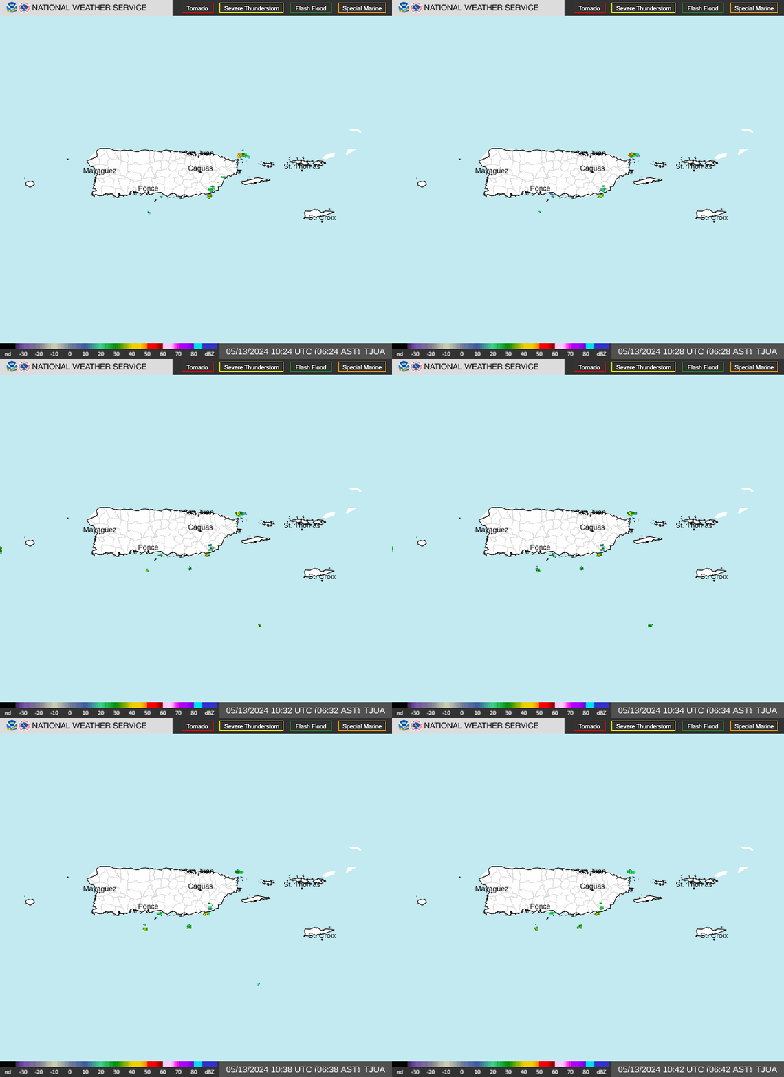
 Local Radar