National Weather Service United States Department of Commerce

Severe Thunderstorms Across Southeast Texas; Very Active Pattern in the West

Severe thunderstorms with the potential for several tornadoes, including a strong tornado or two, will be possible this afternoon and evening across southeast Texas. Damaging winds and isolated large hail will also be possible. A series of Pacific storm systems will continue to impact the Northwest U.S. into this weekend with periods of strong winds, low elevation rain and heavy mountain snow. Read More >

Click a location below for detailed forecast.

Last Map Update: Thu, Dec 26, 2024 at 7:00:25 pm AST
TJUA Radar - Cayey, P.R.
Today, showers with isolated thunderstorms are expected in the afternoon, mainly in the interior and western portions of Puerto Rico. Ponding of water in roadways and poorly drained areas will increase chance of urban and small streams flooding.
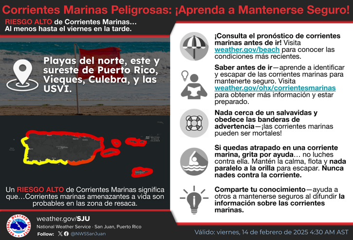
The remnants of an old frontal boundary will maintain unstable weather conditions and above-normal moisture levels through Christmas Eve, supporting the potential for scattered showers and isolated thunderstorm development across the region. A drier air mass with Saharan Air Layer will follow, likely yielding hazy conditions on Tuesday. A more stable and seasonal weather pattern is anticipated for the second part of the week, with decreasing moisture content, cooler temperatures, and higher wind speeds. Beachgoers should be aware of the possibility of observing life- threatening rip currents along the exposed north- and east- facing local beaches.