National Weather Service United States Department of Commerce

Heavy to Excessive Rainfall in the Southeast U.S.; Critical Fire Weather in the Northern Plains and Upper Midwest

A slow-moving storm system will continue to produce widespread heavy showers and thunderstorms which may bring excessive rainfall and flooding as it tracks across the Southeast and Mid-Atlantic regions today into Wednesday. Gusty winds and dry fuels under potential record setting temperatures will support widespread critical fire weather in the northern Plains and Upper Midwest today. Read More >

Click a location below for detailed forecast.

Last Map Update: Mon, May 12, 2025 at 7:20:33 pm MDT
Winds will be strong and gusty across Utah and southwest Wyoming through the afternoon and evening ahead of a cold front, particularly for the valleys of western Utah, including the Wasatch Front. There is a high chance of wind gusts up to 55 mph in this area, which will result in difficult travel along east to west oriented routes, including I-80.
A High Wind Warning has been issued for southwest Utah, where gusts in excess of 60 mph have been observed in Cedar City ahead of a cold front. These winds will continue into the early evening before diminishing. Use caution when traveling through this area, particularly along east to west oriented roadways.
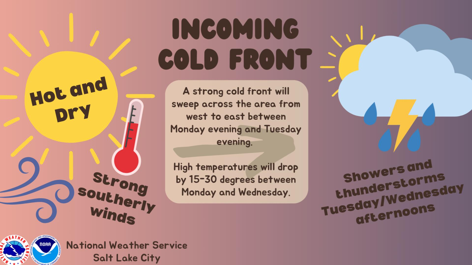
Tired of the heat and the wind? We have good news. A strong cold front arriving in northern UT this evening will bring cooler temperatures and showers/thunderstorms to the area starting tomorrow. Winds will be lighter, outside of any potential outflow near thunderstorms.


Text Product Selector (Selected product opens in current window)