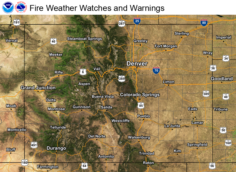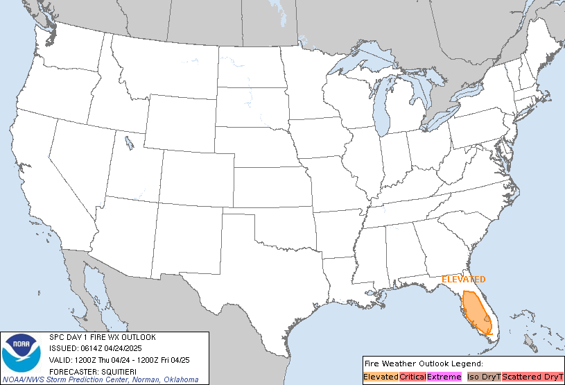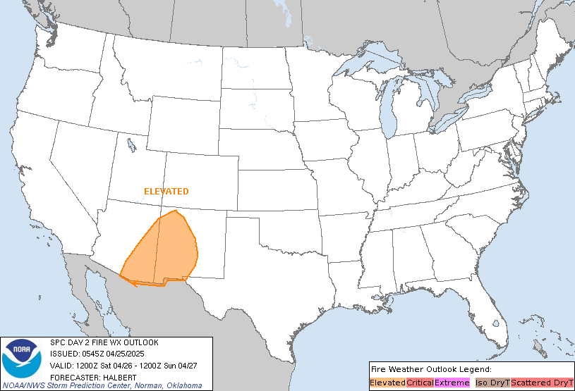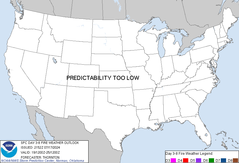
Scattered severe thunderstorms are forecast across central and eastern North Dakota, as well as far northwest Minnesota Saturday (Slight Risk level 2 of 5). Damaging wind gusts are the primary threat. Elevated to critical fire weather conditions will persist through the weekend across the Western U.S. Isolated dry thunderstorms could lead to new fire starts over portions of the northern Rockies. Read More >
Pueblo, CO
Weather Forecast Office
   |
| Fire Weather Outlooks | ||
| Today | Tomorrow | Days 3-8 |
 |
 |
 |
| (Click or Tap for Larger Images & Details) | ||
| North Central/Northeast Colorado (NWS Boulder) |
South Central/Southeast Colorado (NWS Pueblo) |
  |
||
   |
||
| 24-48 Hours (Click or Tap for Larger Images) 48-66 Hours |
  |
|
   |
|
| Tomorrow (Click or Tap for Larger Images) Day 3 |
  |
|
   |
|
| 24-48 Hours (Click or Tap for Larger Images) 48-66 Hours |
|
If you have any questions, please call us anytime 24/7/365 to speak to a fire weather forecaster. If you are in north central or northeast Colorado, call NWS Boulder at (303) 494-3877. If you are in south central or southeast Colorado, call NWS Pueblo at (719) 948-3838. |
ACTIVE ALERTS
Warnings by State - click ATOM button
Excessive Rainfall Forecasts
River Flooding
Convective Outlooks
Hurricanes
Fire Weather Outlooks
UV Alerts
Space Weather
Winter Winter Forecasts
Enhanced Data Display(EDD)
PAST WEATHER
Climate Monitoring
Astronomical Data
Certified Weather Data
CURRENT CONDITIONS
Radar
River Levels
Observed Precipitation
Surface Weather
Upper Air
Marine and Buoy Reports
Climate Monitoring
Snow Cover
Satellite
Space Weather
Enhanced Data Display(EDD)
FORECAST
Severe Weather
Drought
Fire Weather
Front/Precipitation Maps
Graphical Foreast Maps
Rivers
Marine
Offshore and High Seas
Hurricanes
Aviation Weather
Climate Outlook
Enhanced Data Display(EDD)
WEATHER SAFETY
Owlie Skywarn - for kids
NOAA Weather Radio
StormReady
Natural Weather Hazard Statistics
Red Cross
Federal Emergency Management Agency(FEMA)
National Weather Service SafetyBrochures
US Dept of Commerce
National Oceanic and Atmospheric Administration
National Weather Service
Pueblo, CO
3 Eaton Way
Pueblo, CO 81001-4856
(719) 948-9429
Comments? Questions? Please Contact Us.

