An influx of tropical moisture is expected to reach the Desert Southwest beginning on Sunday, and peaking Monday into Tuesday. This moisture coupled with large scale lift ahead of an approaching weather system will result in widespread precipitation across Arizona. There is still high uncertainty in rainfall totals as well as the potential for severe weather.





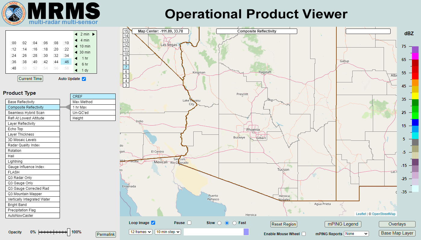 MRMS Radar Imagery
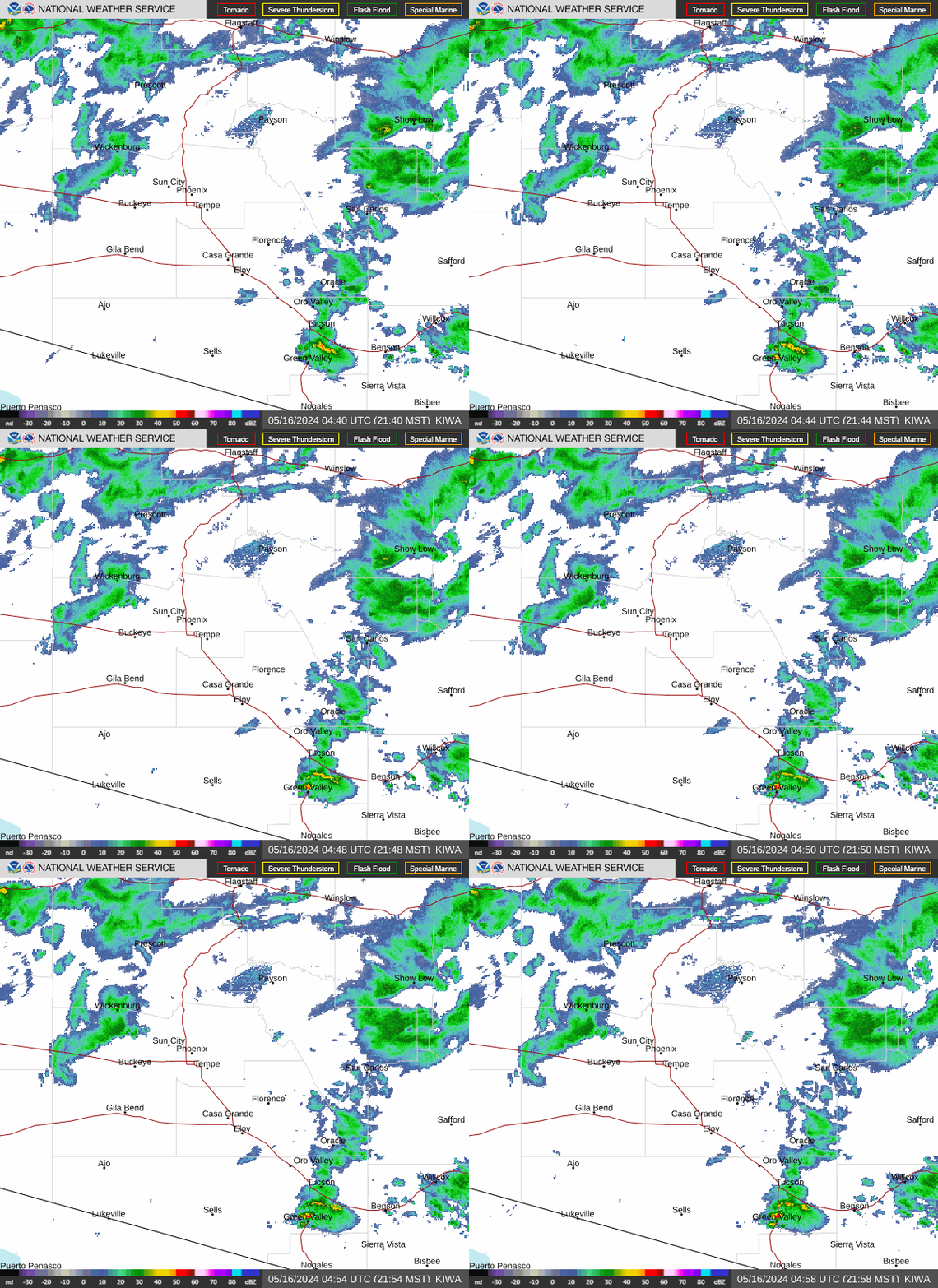 Phoenix Radar
 Yuma Radar
 Regional Satellite
 GOES-19 Satellite
.PNG) Weather & Hazards Data Viewer
Weather & Hazards Data Viewer Forecast Discussion
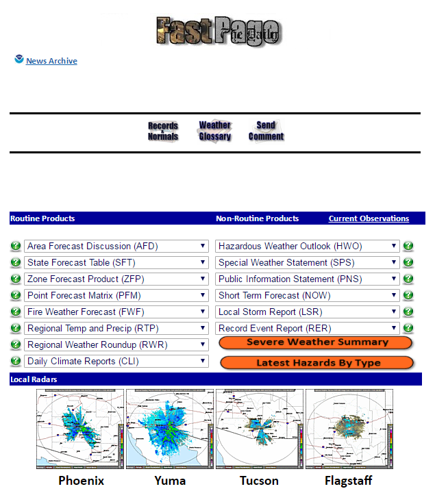 Fast Page
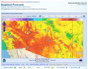 Local Graphical Forecast
 Drought Monitor
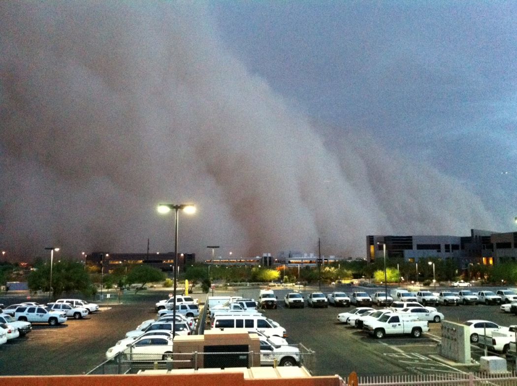 Monsoon Tracker
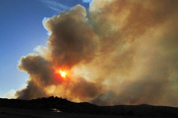 Fire Weather
 Heat
Heat Experimental Graphical HWO
 SPC Outlooks
 Hurricane Outlook
 Local Climate Charts
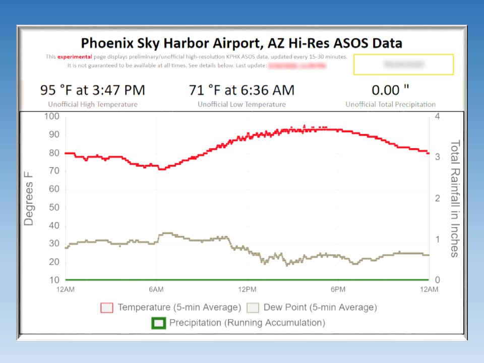 Hi-res KPHX ASOS Data
 Follow us on X
 Follow us on Facebook
 Follow us on YouTube
 PSR RSS Feed