Increasing winds, low humidity levels, and very receptive fuels will combine Friday and Saturday resulting in a very high fire danger for the Lower Colorado River valley, as well as Tonto National Forest and Gila County. A Fire Weather Watch has been issued for these locations where ongoing fires or new starts could grow out of control.


 MRMS Radar Imagery
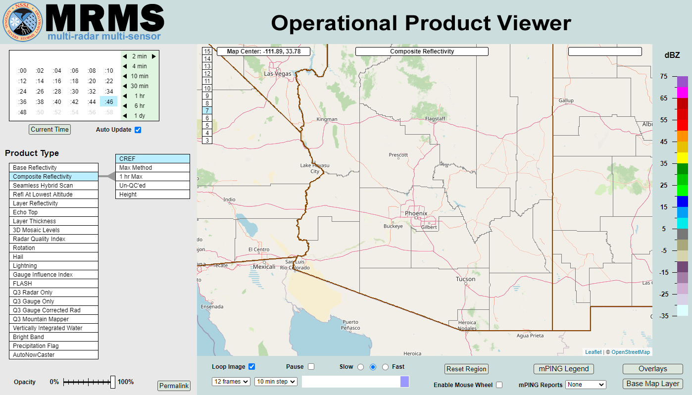
 Phoenix Radar
 Yuma Radar
 Regional Satellite
 GOES-19 Satellite
.PNG) Weather & Hazards Data Viewer
Weather & Hazards Data Viewer Forecast Discussion
 Fast Page
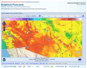 Local Graphical Forecast
 Drought Monitor
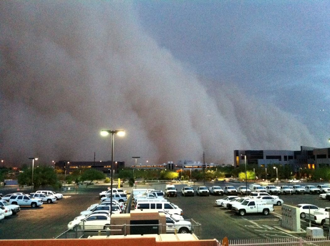 Monsoon Tracker
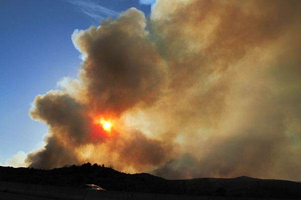 Fire Weather
 Heat
Heat Experimental Graphical HWO
 SPC Outlooks
 Hurricane Outlook
 Local Climate Charts
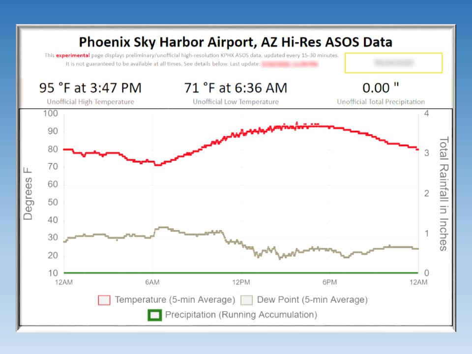 Hi-res KPHX ASOS Data