Power Pacific system will continue to bring significant impacts for Pacific Northwest into northern California the remainder of the week. Dangerous coastal affects, heavy rain, flooding, strong winds, and higher elevation mountain snow continues. Meanwhile, a storm across the east is set to bring the first accumulating snow to many higher elevations of the Catskills into the central Appalachians. Read More >
Norman, OK
Weather Forecast Office
Snow Amount Potential
Experimental - Leave feedback
|
|
Expected Snowfall - Official NWS Forecast What's this? | High End Amount 1 in 10 Chance (10%) of Higher Snowfall What's this? |
Low End Amount 9 in 10 Chance (90%) of Higher Snowfall What's this? |
|
Low End Amount – 9 in 10 Chance (90%) of Higher SnowfallThis map depicts a reasonable lower-end snowfall amount for the time period shown on the graphic, based on many computer model simulations of possible snowfall totals. This lower amount is an unlikely scenario with a 9 in 10, or 90% chance that more snow will fall, and only a 1 in 10, or 10% chance that less snow will fall. This number can help serve as a lower-end scenario for planning purposes. Expected Snowfall - Official NWS ForecastThis map is the official NWS snowfall forecast in inches during the time period shown on the graphic. This snowfall amount is determined by NWS forecasters to be the most likely outcome based on evaluation of data from computer models, satellite, radar, and other observations. High End Amount – Only a 1 in 10 Chance (10%) of Higher SnowfallThis map depicts a reasonable upper-end snowfall amount for the time period shown on the graphic, based on many computer model simulations of possible snowfall totals. This higher amount is an unlikely scenario, with only a 1 in 10, or 10% chance that more snow will fall, and a 9 in 10, or 90% chance that less snow will fall. This number can help serve as an upper-end scenario for planning purposes. |
Percent Chance That Snow Amounts Will Be Greater Than...
Experimental - Leave feedback
Percent Chance That Snow Amounts Will Be Greater ThanThis series of maps shows the probability (that is, the likelihood) that snowfall will equal or exceed specific amounts during the time period shown on the graphic. These forecasts are based on many computer model simulations of possible snowfall totals. |
Snowfall Totals by Location
Experimental - Leave feedback
Snowfall Totals by LocationThese tables show the snowfall forecast for individual locations, and provide the same information as the graphics on this web page, just shown in a different way. All of these values are valid for the same time period as depicted on the graphics. |
|
Ice Accumulation Potential
|
Expected Ice Accumulation - Official NWS Forecast This is the elevated flat surface ice accumulation. It is not radial/line ice. Radial/line ice is typically 39% of the elevated flat surface ice. For more information on this, see this module. |
---|
What's this? |
Most Likely Ice AccumulationRepresents our official ice forecast in inches within the next one to three days. The ice accumulation amounts are provided in ranges. |
Days 4-7 Winter Weather Outlook | |
Day 4 Winter Weather Outlook | Day 5 Winter Weather Outlook |
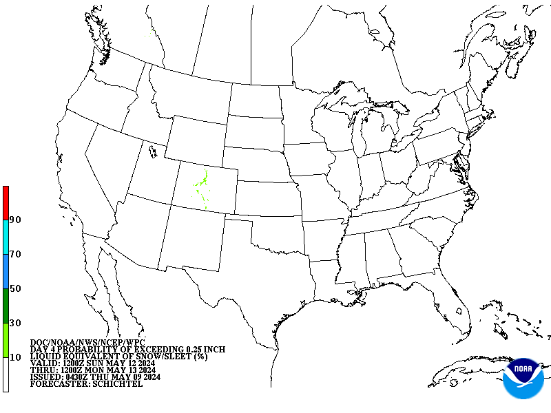
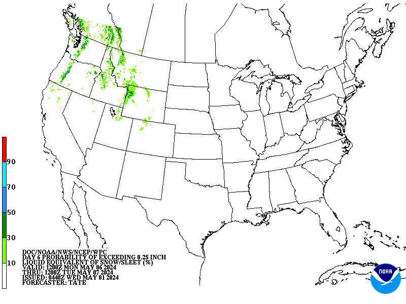
Day 6 Winter Weather Outlook | Day 7 Winter Weather Outlook |
|
|
CPC Week-2 Experimental Heavy Snow Risk | |
CPC Temperature & Precipitation Maps | |
Days 6-10 |
|
Temperature | Precipitation |
Days 8-14 |
|
TEMPERATURE | PRECIPITATION |
Week 3-4 |
|
TEMPERATURE |
PRECIPITATION |
Current Hazards
Local
Hazardous Weather Outlook
Local Storm Reports
Nationwide
Current Conditions
More Observations
Surface Maps
Upper Air Maps
Rivers and Lakes
Satellite Imagery
Forecasts
Winter Weather
Aviation Weather
Submit a Spot Forecast
Graphical Forecasts
Air Quality
Forecast Discussion
Fire Weather
Warnings and Other Products
Winter Weather Warnings
Tornado Warnings
Flood Warnings
Special Weather Statements
Flash Flood Warnings
Non Precipitation Warnings
Severe Thunderstorm Warnings
Climate and Past Weather
Local Climate Data
Tornado Database
Averages and Records
Storm Data
Daily Weather History
Significant Weather Events
US Dept of Commerce
National Oceanic and Atmospheric Administration
National Weather Service
Norman, OK
National Weather Center
120 David L. Boren Blvd. Suite 2400
Norman, OK 73072
(405) 325-3816
Comments? Questions? Please Contact Us.