For the latest video weather briefing, click here.
Click here to submit a snowfall report.
Click here for the latest text listing of snowfall reports across the area, or here for a graphic of snowfall reports.
Click here for the latest road conditions across the area.
The snow will gradually taper off this evening, as it shifts northward toward central Wisconsin. Another inch or two is possible toward Montello and Berlin into this evening. Otherwise, light freezing drizzle may mix in with light sleet and light snow over the Dells, Fond du Lac and Sheboygan tonight. The rest of the area should see mainly light rain chances through tonight. Areas of fog are expected to develop tonight as well, with winds weakening.
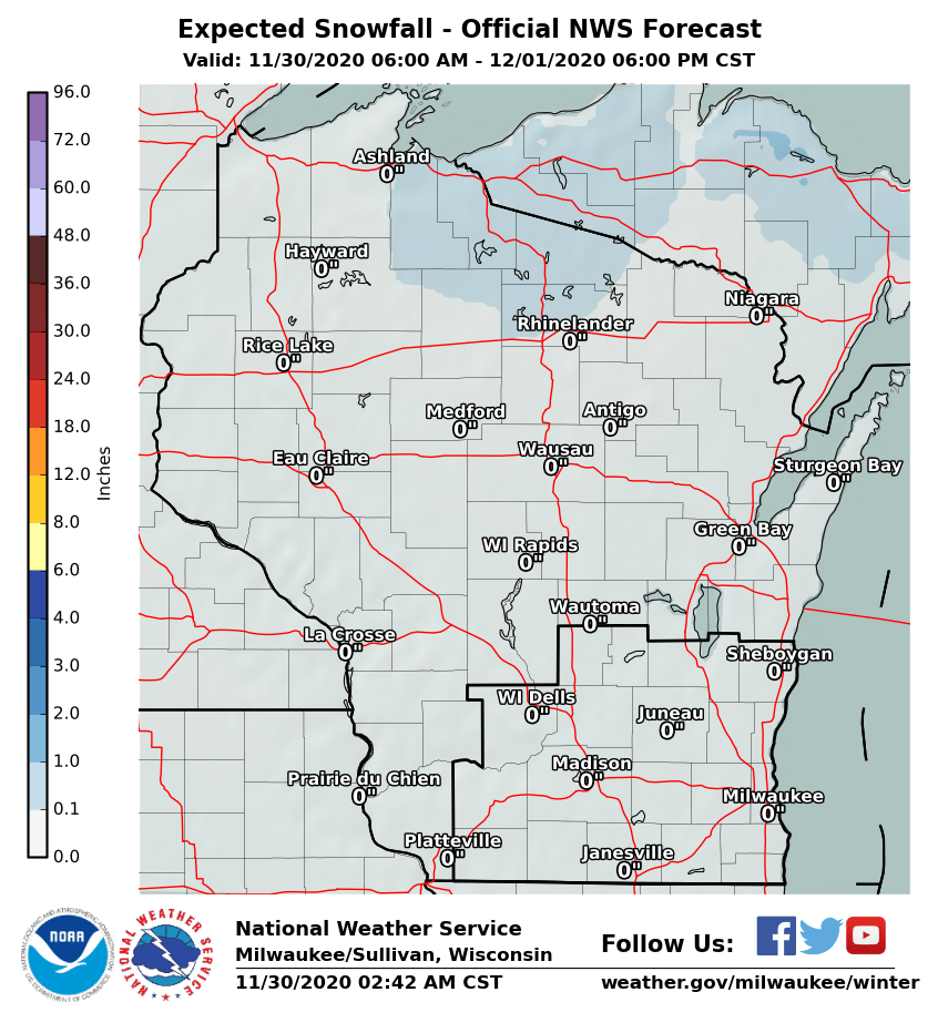
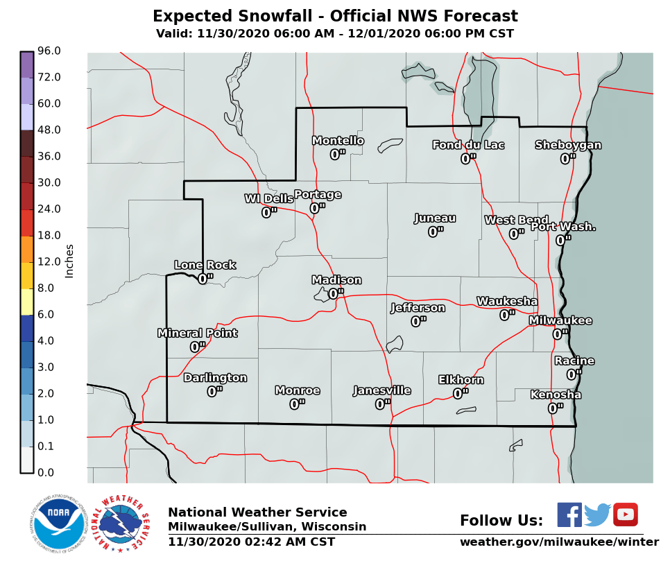
Light snow is expected Wednesday morning, with accumulations around an inch possible in and north of Madison. Lighter amounts are expected to toward southeast Wisconsin.
See the latest radar animations below:
| Local Radar | Regional Radar - West View | Regional Radar - East View |
 |
 |
 |
A Winter Storm Warning is in effect for Marquette and Green Lake Counties through tonight, with portions of south central and east central Wisconsin under a Winter Weather Advisory.
Below are the latest additional snowfall accumulation forecast maps across Wisconsin through Wednesday:
 |
 |
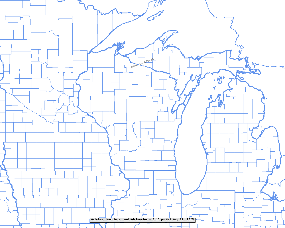
A Winter Storm Warning is in effect for much of Wisconsin through tonight or into Wednesday morning.
See the map below for the latest Warnings and Advisories in effect across the region:
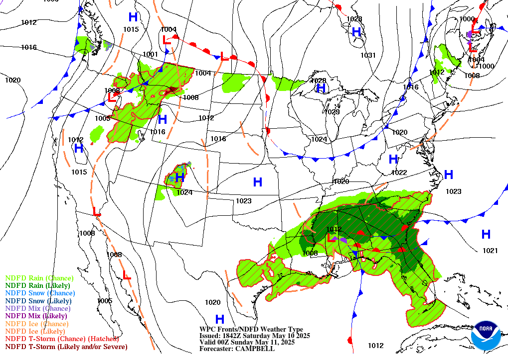
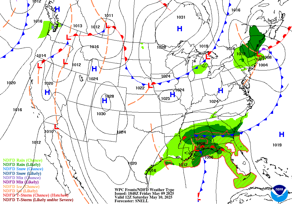
Below are two images that show the current official track of the surface low pressure system as issued by the Weather Prediction Center. This is the surface low position at :
| 6 PM Tuesday, February 2, 2016 | 6 AM Wednesday, February 3, 2016 |
 |
 |
Any lingering snow will reduce visibilities on roadways, due to some gusty winds. Expect hazardous travel conditions through tonight toward the Montello and Berlin areas. Other areas seeing snow accumulations or light freezing drizzle will still have slippery driving conditions. Be prepared if travelling tonight!
Check out the latest Experimental Probabilistic Snowfall Graphics here.
See the Weather Prediction Center for the latest probabilities to precipitation amounts and locations.
Keep up with the latest updates to this winter storm moving through today and tonight!
Davis/Wood/Schultz/Cronce
NWS Milwaukee/Sullivan, WI