Tornado Threat Graphics
PLEASE READ: Zoom in and out for details across your area. Scroll down to see the entire map and additional information below.
If the map is empty, there are no active tropical cyclone threats and potential impacts graphics available. The graphic shows tornado threat levels from a system that might be impacting your area over the coming days or already is. Threat levels depicted account for forecast errors and incorporate a reasonable safety margin. The threat levels depicted are meant to answer the following question: Given the latest information, what should I be planning for?
When you click on any given threat level depicted, an embedeed potential impact statement will display. This speaks to the potential effect from tornadoes over that area should the depicted threat be realized. The potential impacts shown is what you should be preparing for.
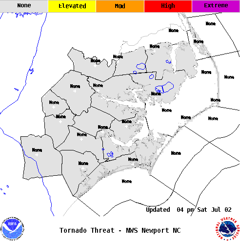
NOTE: Threat level and corresponding potential impact statements. When you click on the map above over a threat level, a more detailed potential impact statement customized for your area is displayed.
| Tornado Threat | Potential Impacts From Tornadoes |
|
EXTREME Potential for an outbreak of tornadoes |
DEVASTATING TO CATASTROPHIC To be safe, aggressively prepare for the potential of devastating to catastrophic tornado impacts. |
|
HIGH Potential for many tornadoes |
EXTENSIVE To be safe, aggressively prepare for the potential of extensive tornado impacts. |
|
MODERATE Potential for several tornadoes |
SIGNIFICANT To be safe, earnestly prepare for the potential of significant tornado impacts. |
|
ELEVATED Potential for a few tornadoes |
LIMITED To be safe, prepare for the potential of limited tornado impacts. |
|
LITTLE TO NONE Tornadoes not anticipated |
LITTLE TO NONE No immediate preparations needed to guard against tropical tornadoes. |


.png) Surf Forecast/Rip Currents
Surf Forecast/Rip Currents Map View
 Weather Hazard Briefing (when applicable)
 Forecaster Discussion
 Marine
 Text Products
.png) Skywarn
Skywarn Submit Storm Reports
 Coastal Flood
 Follow us on YouTube