
Despite considerable cloud cover lurking over West Texas, residents were able to catch glimpses of the eclipse. The eclipse was more easily viewed off the Caprock, where skies were mostly sunny.
We recorded the two satellite image loops below to show the progression of the eclipse. The first one shows the shadow progressing across the county, and the second one is focused on the central and southern plains. The satellite images were obtained from the GOES-16 satellite whose data is considered preliminary and non-operational.
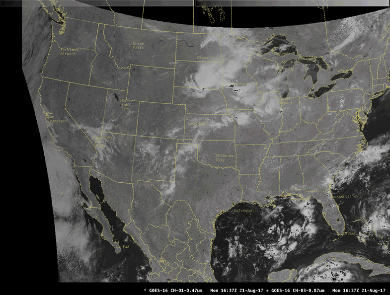
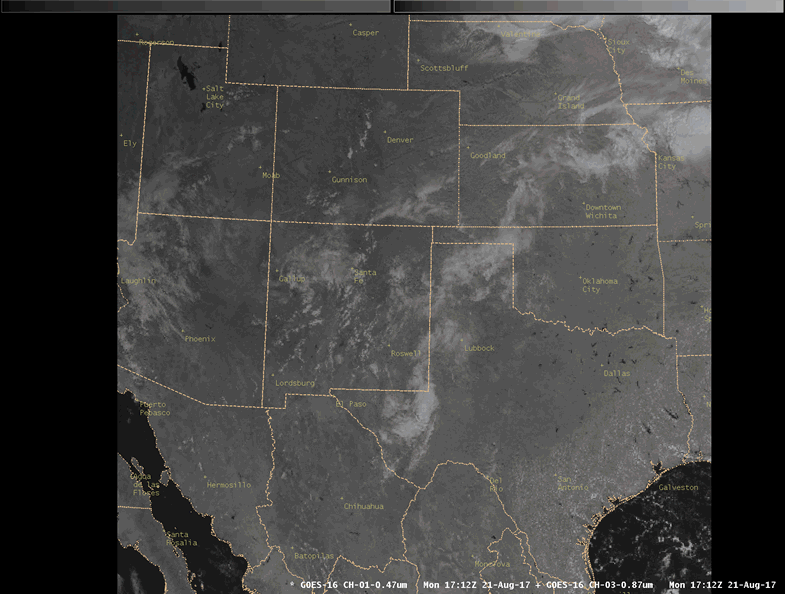
As can be seen in the images above, the eclipse produced a large shadow over the continent. Even over Texas, the shadow had a pronounced cooling effect. This was measured by stations of the West Texas Mesonet across the area. The image below shows the station near the town of Paducah in the Rolling Plains. Skies were mostly clear in this area so the eclipse can be readily seen in the data. In the top graph, you can see a cool "valley" in the temperature around 12 pm CST (1 pm CDT) associated with the eclipse. The temperature drops from 89.5 degrees to 87.1 degrees, or a 2.4 degree change. A more dramatic change can be seen in the second graph to the bottom. This is the measurement of incoming solar radiation. The values drop to a minimum (less than 200 Watts per meter-squared) at the time of the maximum coverage of the moon over the sun (about 76 percent near Paducah).

For more interesting imagery and information about the eclipse, please visit NASA's Eclipse website at: https://eclipse2017.nasa.gov/image-gallery
Below is a reference graphic for the eclipse:

Finally, there were also numerous showers and thunderstorms across the area from Sunday night through early Monday, then again Monday afternoon and evening. The storms produced spotty heavy rainfall and strong wind gusts. The map below shows the rainfall estimates.


