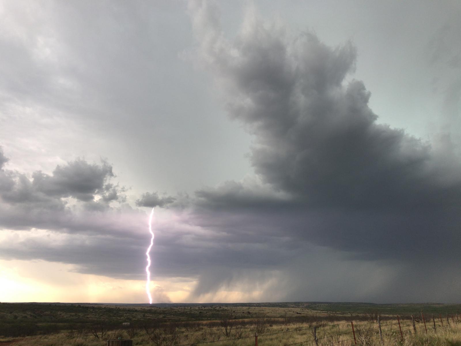
After a hot and dry couple of weeks in mid-late July, much of the South Plains of West Texas saw some much needed moisture and cooler temperatures at the very end of July and the start of August. Late on Sunday, the 30th, a cluster of thunderstorms developed across eastern NM, then pushed across the state line Sunday night. Most of the rain from this complex fell early Monday morning the 31st, although another batch of showers pushed east across the western South Plains later in the morning, before dying off across the central and eastern South Plains around midday.
Late Monday night, another storm complex developed across eastern New Mexico. This complex moved more to the south than east, but it did bring some drenching rain to Parmer County. The town of Friona received about two inches of rain from each complex for a total of 4.27 inches.
During the day Tuesday, a west to east line of showers and thunderstorms developed across the north-central South Plains. This line moved to the south through the afternoon and doused parts of Lubbock between 3 and 4 pm. The line eventually moved into the Permian Basin and brought some heavy rain to the Midland-Odessa area.
Through the entire 3-day period from Sunday through Tuesday, many locations on the Caprock received between two and five inches of rain. Farther east, Childress did get in on the action, but much of the Rolling Plains missed out on significant rainfall in this pattern. The image below shows radar estimated rainfall amounts which have been calibrated to ground reports.

Here are a couple radar snapshots during this period. The one below shows the large complex of showers and thunderstorms on the leading edge moving slowly across the South Plains early Sunday morning. The width and breadth of this system brought widespread rainfall across the Caprock.

The image below shows the line of scattered showers and thunderstorms moving south across the South Plains Tuesday afternoon. This activity wasn't as widespread as on Monday but still produced locally heavy rainfall.

Finally, the image below shows the rainfall totals from the West Texas Mesonet from Saturday morning to Tuesday morning.


