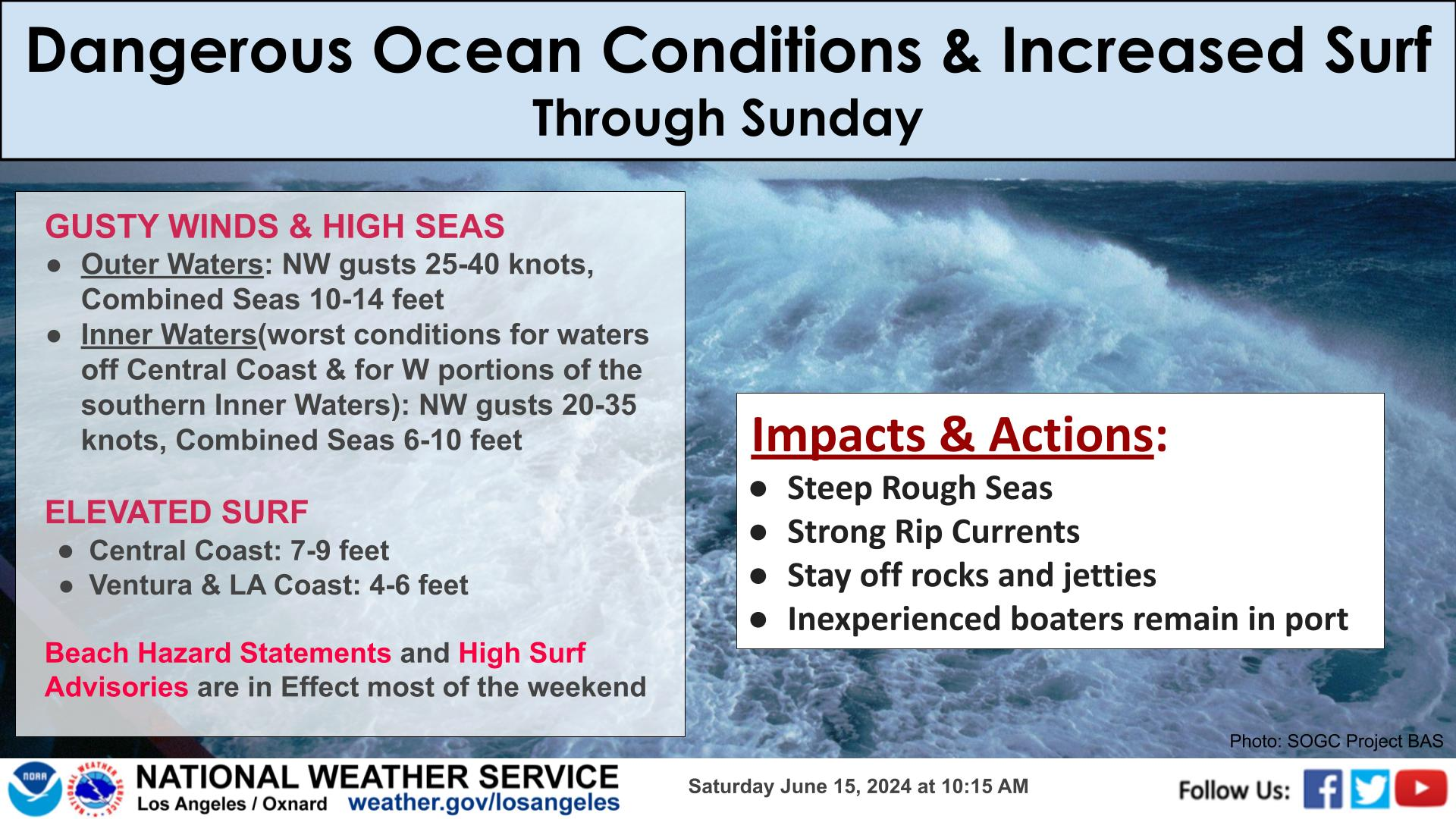
Happy Thanksgiving week!
High will become a few degrees warmer than normal, with Wednesday being the warmest. Light to moderate Santa Ana and Santa Lucia Winds will impact typical areas, but winds will generally remain under 35 mph. Winds will begin to taper off by the afternoon on Thanksgiving.
Recent rains will allow for trees to be more easily knocked down, so avoid parking under trees! Don't forget to secure those outdoor Thanksgiving decorations.
Stay safe and have a great holiday.


 Hazards
 Observations
 Marine Weather
 Fire Weather
 Aviation Weather
 Hydrology
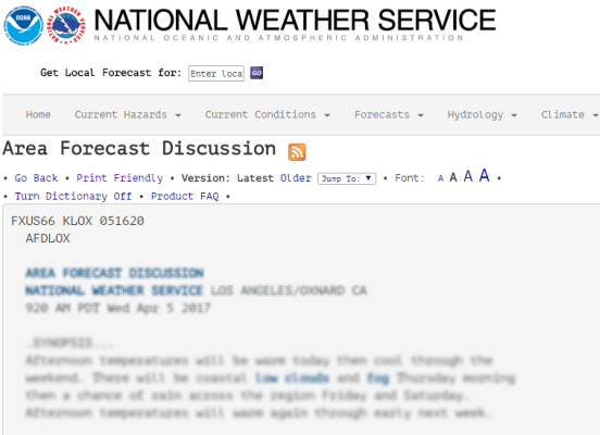 Forecast Discussion
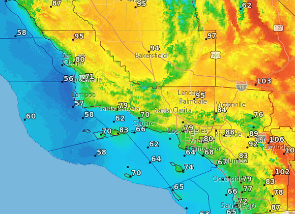 Graphical Forecasts
 Climate Graphs
 Fast Page
 Mobile Devices
 Past Weather Data
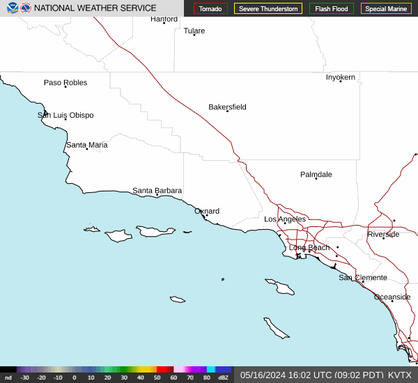 Southern CA Radar
 Southwest CA Radar
 Satellite
 Social Media OneStop
 Student Opportunities