New Orleans/Baton Rouge
Weather Forecast Office

| TROPICAL WEATHER |
Local Products/Pages
| Tropical Depression, Storm or Hurricane Hazards: Potential Hazard Impacts for Wind, Coastal Flooding, Inland Flooding and Tornadoes |
|
| Hurricane Local Action Statements: Southeast Louisiana and South/Coastal Mississippi (New Orleans) Southwest Louisiana and Southeast Texas (Lake Charles) South Alabama, Southeast Mississippi, Florida Panhandle (Mobile) Central Mississippi (Jackson) |
|
| Other NWS Office Tropical Pages: Southwest Louisiana and Southeast Texas (Lake Charles) South Alabama, Southeast Mississippi, Florida Panhandle (Mobile) Central Mississippi (Jackson) |
National Hurricane Center/Tropical Prediction Center Products
| National Hurricane Center | Gulf Offshore Waters Forecast |
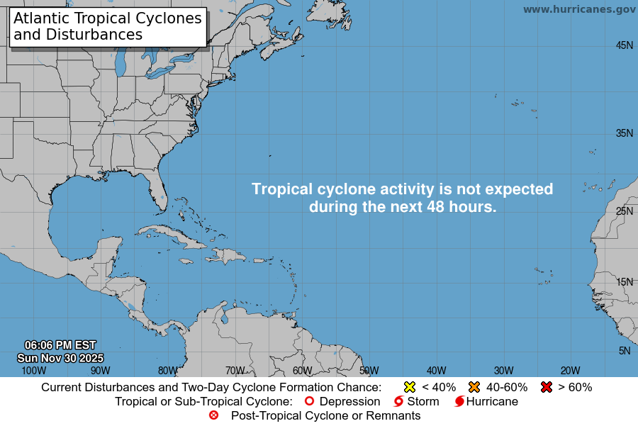
| Tropical Weather Outlook (Graphics) | Tropical Weather Discussion |
| Plan of the Day | |
| 2017 Storms (link active after storm forms) Arlene Bret Cindy Don Emily Franklin Gert Harvey Irma Jose Katia Lee Maria Nate Ophelia Philippe Rina Sean Tammy Vince Whitney |
|
Satellite Imagery and Other Weather Maps
| Tropical Satellite Imagery | GOES-8 Atlantic Infrared |
| GOES-8 Atlantic Visible | GOES-8 Atlantic Water Vapor |
| Gulf Surface Map | Wind Shear Map |
| Gulf Sea-Surface Temp | Atlantic Sea-Surface Temp |
Southeast Louisiana and South Mississippi
Significant Tropical Weather
| 2002 2003 2004 2005 2006 2007 2008 2009 2010 2011 2012 2013 2014 2015 2016 |
Additional Links
* You may need to install the free Acrobat® Reader to view and print this chart.
Current Hazards
Extended Outlooks
Outlooks
Fire Manager Quick Brief
Briefing Page
Storm Prediction Center
Forecasts
Activity Planner
River Forecasts
Tropical Forecast
Forecast Discussion
Aviation Weather Forecast
Graphical Forecast
Weather Models and Maps
Fire Weather Forecast
Hourly Weather Graph
Air Quality Forecasts
Marine Forecast
US Dept of Commerce
National Oceanic and Atmospheric Administration
National Weather Service
New Orleans/Baton Rouge
62300 Airport Rd.
Slidell, LA 70460-5243
504.522.7330 985.649.0429
Comments? Questions? Please Contact Us.
Thank you for visiting a National Oceanic and Atmospheric Administration (NOAA) website. The link you have selected will take you to a non-U.S. Government website for additional information.
NOAA is not responsible for the content of any linked website not operated by NOAA. This link is provided solely for your information and convenience, and does not imply any endorsement by NOAA or the U.S. Department of Commerce of the linked website or any information, products, or services contained therein.
You will be redirected to:

