January 9-10, 2011 Winter Weather Event
Event Summary
The jet stream took a southern plunge across the Mid & Lower Mississippi River Valley through the weekend of January 8th and 9th. This southern dip, aided by a low pressure system over the Great Lakes, helped funnel a cold Arctic airmass across Mississippi. As cold air filtered down from the north, another low pressure system shifted eastward from the southwestern United States. This low pressure system brought in moisture from the Gulf of Mexico and provided atmospheric lift to help produce wintry precipitation across the ArkLaMiss region on Sunday, January 9th and through the early morning hours of Monday, January 10th. Wintry precipitation was forecast many days in advance across the ArkLaMiss region but it would come down to a critical one to two degrees, at the surface and aloft, that would determine the wintry precipitation type and amount received. Colder air, at the surface and aloft, was in place across northern Mississippi and allowed for large snow totals to pile up.
- See Graphic Below for Sleet/Snowfall totals from 6:00am, January 9th - 12:00pm, January 10th.

- See Graphic Below for Ice totals

Locations in extreme northern Mississippi received up to 10 inches of snow. Farther south, towards the Highway 82 corridor, snow totals were not as great but still plentiful to make snowmen and have fun sledding. The greatest amounts within the National Weather Service Jackson Forecast Area fell in northern Bolivar and Sunflower counties with totals near 5 to 5.5 inches. Farther east, Grenada, Starkville, and West Point had near 3 inches of snow. Extreme southeastern Arkansas, namely, Ashley and Chicot counties, saw accumulations ranging from 1/2 to 3 inches also. Temperatures were not as conducive for pure snow precipitation farther south towards Yazoo City and Philadelphia. A sleet/snow mixture cut down total accumulations to near 1 to 2 inches along the Highway 16 corridor across Mississippi. Numerous county roads, especially elevated and exposed bridges and overpasses, became very treacherous for travel. By the night of January 9th, state and local emergency officials, had closed off several overpasses and bridges across the area. For the I-20 corridor, warmer temperatures aloft allowed for a mixture of sleet and liquid rain to reach the ground. Unfortunately, the surface temperature held near 30°F throughout the night and early morning. This allowed for rain to freeze and form a glaze of ice on elevated and exposed surfaces. Southern Mississippi and portions of northeastern Louisiana experienced freezing rain that lead to more dangerous travel conditions. Areas near Brookhaven, Monticello, and Laurel reported sporadic power outages due to trees and large limbs falling under the weight of the ice build-up. One-quarter to one-half of an inch of ice was reported across Smith, Jones, Lawrence, and Jefferson Davis counties just to name a few.
Local Storm Reports of Snow, Sleet, and Ice Received On January 9th and 10th, 2011.

As a result of the wintry precipitation, numerous schools, businesses, county and state offices were closed on Monday, January 10th. Near normal operations and travel resumed on Tuesday, January 11th despite an Arctic airmass remaining in place. On the week following the wintry precipitation event, temperatures averaged 15 to 20 degrees below normal. Wind chill readings even dipped into the single digits as daily highs struggled to reach into the 40s.
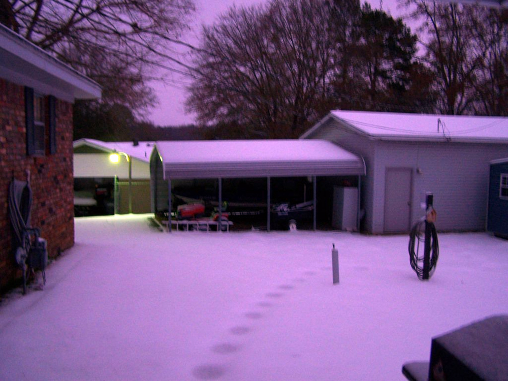
Pictures
- Sleet/Ice Accumulation near Yazoo City, MS (courtesy Charissa Smith):


- Ice Accumulation near Meridian, MS (courtesy David Cole):


- See Pictures Below of Ice/Sleet Accumulation Near Brandon, MS:


- See Pictures Below of Snow Accumulations near Grenada, MS:


If you have snow, sleet, or icing pictures you would like to share, please e-mail us at: sr-jan.webmaster@noaa.gov


 Follow us on YouTube