
Event Summary
During the afternoon of Dec 23, just enough ingredients came together to support numerous severe storms ahead of a cold front. Across the Lower Mississippi River Valley, peak heating contributed to decent instability in the developing warm sector in advance of the front. Sufficient low level wind shear and strong winds aloft were also in place as a decent upper low was located to our north. This helped to support organized thunderstorm activity along with quite a few supercell storms.
A long lived, persistent, storm tracked across the southeastern counties (near Columbia, Mississippi to Sumrall and Laurel to Heidelberg, Mississippi line) and produced multiple tornadoes. Widespread damage occurred in southern Columbia, near Sumrall and near Laurel and areas in Marion, Jones and Clarke counties. Sadly, five confirmed fatalities occurred, with three near Columbia in Marion County and two near Laurel in Jones County. Severe storms moved out of the region by late afternoon to early Tuesday evening. The front continued to track through the area through the evening of December 23.
Tornado Track Map

Click on map above to see entire event tracks and damage point notation. Individual track maps also available on individual tornado pages.
Survey Information
| Location | Start/ End Time |
Event Type | Fatalities/ Injuries |
Path Length | Path Width |
| Concordia, Catahoula and Franklin parishes 2.0 E Wildsville to 5.0 E Wisner |
11:00 am- 11:40 am |
Large hail | none | none | none |
| Marion County 2.0 S Columbia to 3.0 ESE Improve |
2:20 pm- 2:36 pm |
EF-3 Tornado 165 mph |
Deaths: 3 Injured: 50 |
12.0 miles | 830 yards |
| Lamar County Tornado One 1.0 NE Sumrall to 1.0 NE Sumrall |
2:46 pm- 2:46 pm |
EF-0 Tornado 75 mph |
none | 0.25 mile | 50 yards |
| Lamar County Tornado Two Sumrall |
2:45 pm- 2:45 pm |
EF-0 Tornado 70 mph |
none | 100 yards | 50 yards |
| Jones County 5.0 W Laurel to 5.0 N Laurel |
3:22 pm- 3:27 pm |
EF-2 Tornado 125 mph |
2 | 5.0 miles | 350 yards |
| Clarke County 3.0 ENE Crandall to 4.0 ENE Crandall |
4:27 pm- 4:29 pm |
EF-0 Tornado 75 mph |
none | 0.5 mile | 100 yards |
Local Storm Reports
Click on the map below for additional details.


Damage and Tornado Pictures - Click to enlarge
Please submit your pictures to sr-jan.webmaster@noaa.gov .
Marion County
Columbia Damage- Taken by Teresa Mergens
 |
 |
 |
 |
Columbia Damage- Taken by Haskel Burns
 |
 |
 |
 |
Columbia Damage- Taken by Ryan Moore
 |
 |
 |
 |
 |
 |
Columbia Tornado- Taken by Amanda Stogner
 |
Jones County
Laurel Tornado- Taken by Eric Roberts
 |
Laurel Tornado- Taken by Al Jones
 |
Laurel Tornado- Taken by Kevan Lindsey
 |
Jasper County
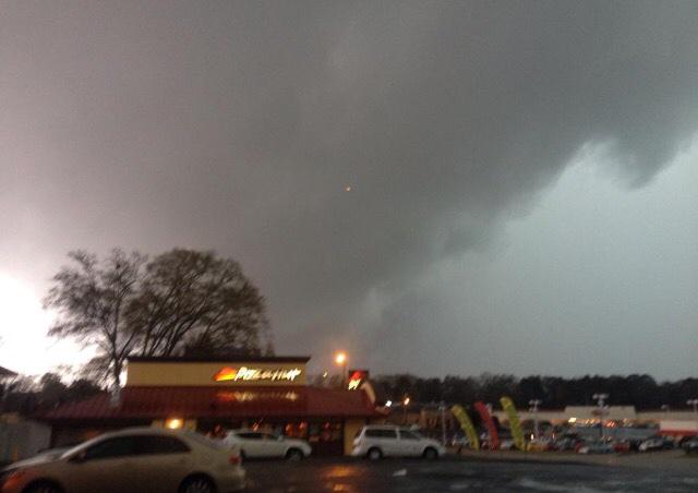
Funnel cloud near Heidelberg- Taken by John Carter


 Follow us on YouTube