National Weather Service United States Department of Commerce

Areas of Excessive Rainfall and Severe Thunderstorms on Tuesday

Heavy to excessive rainfall is forecast over north Texas into Oklahoma Tuesday. Locally catastrophic flooding will be possible across portions of southwest Oklahoma. Flood Watches have been issued. Scattered severe thunderstorms are possible within a broad swath from the lower Great Lakes to the southern High Plains Tuesday afternoon into the evening. Read More >

Click a location below for detailed forecast.

Last Map Update: Tue, Apr 29, 2025 at 12:18:19 am CDT
A Flood Watch is in effect through 7 AM Thursday for areas along the Red River. Most likely rain amounts between 1-3 inches with isolated higher amounts up to 4 inches are most likely within the Watch area. Make sure to never drive through flooded roads!
Strong to severe storms are expected to develop across portions of North and Central Texas Tuesday afternoon. Hail and damaging winds will be the primary hazards. The greatest severe weather risk will be Wednesday afternoon as the dryline moves further east into the area. All hazards will be possible, but there is still some uncertainty in the timing of these storms. The flash flood threat will increase Tuesday and especially Wednesday, as heavy rainfall is expected. Continue to monitor the forecast for the latest information.
Our potential for flooding will be increasing starting late Monday through Wednesday, with the highest potential for flooding across the Red River Valley and parts of the western North Texas on Wednesday. These areas have already received ample rainfall so it will not take much extra rain to cause issues. Rainfall totals will average between 1 to 3 inches areas along the Red River receiving 2.5 to 5 inches.
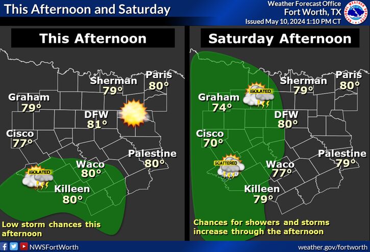
Daily storm chances will continue through the weekend with highs in the 70s and 80s. Some storms on Friday could become strong to severe, so make sure to keep updated with the forecast for more details.
As of now, we can confirm 12 tornadoes that occurred the evening and night of April 19th. These tornadoes were west of the Dallas/Fort Worth Metroplex, and extended from Erath County up into Montague County. Fortunately, no injuries or loss of life were reported due to these storms.

Text Product Selector (Selected product opens in current window)
Latest Text Products Issued (Experimental)
Safe Rooms Icon Cooperatirve Rainfall (CoCoRaHs) icon Storm Ready Icon AirNow Icon