
A weather system in the Pacific Northwest will produce rain throughout the day, before a potent atmospheric river produces a prolonged round of heavy rainfall, widespread urban and river flooding, and high elevation snow to the region Monday through Wednesday. Showers and thunderstorms may produce isolated damaging winds, a brief tornado, and locally heavy rainfall across parts of Florida today. Read More >
Duluth, MN
Weather Forecast Office
Spring Flooding potential across the Northland is normal to below normal based on marginal amounts of snow water and deep frost depths.
Precipitation and rate of snowmelt while the ground is frozen through early spring will be one of the most important flood risk factors. This outlook does not take into account the risk of flash flooding.
Deep frost could lead to poor infiltration and efficient runoff if heavy rains fall while the ground is still frozen.
| Threat | Impact to Potential Spring Flooding | Links |
|---|---|---|
| High River Levels | Normal to Below Normal Streamflow | USGS WaterWatch MN WI |
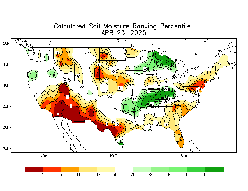
| High Soil Moisture |
Normal to Below Normal |
CPC Soil Moisture |
| Winter Precipitation |
Normal to Below Normal |
6 to 10 Day 8 - 14 Day |
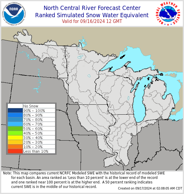
| Current Snowpack/Liquid Equivalent | Normal to Below Normal | |
| Rate of Snowmelt | TBD | 24, 48, & 72 hr Snowmelt |
| Frost Depth | Higher | Frost Depth Map |
| Spring Precipitation | TBD |
Point Forecast (Next 7 Days) Precip Outlook (Upcoming Weeks) |
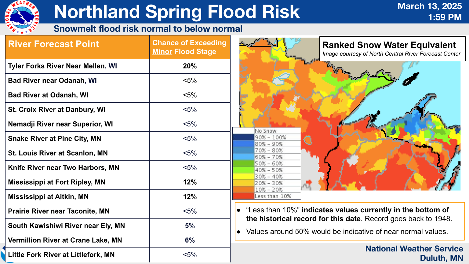
For more details, please see the full briefing PDF:
Spring Flood Outlook Update #3 (Mar 13, 2025)
Forecasts
Fire Weather
Great Lakes
Local Text Products
Winter Weather
Local Area Forecasts
Aviation
Marine
Rainy River Basin Page
Current Conditions
Current Observations
Public Information Statements
National Snowfall Map
NOHRSC Snow Analysis
Rain/Snow Reports
Winter Monitor
US Dept of Commerce
National Oceanic and Atmospheric Administration
National Weather Service
Duluth, MN
5027 Miller Trunk Highway
Duluth, MN 55811-1442
218-729-6697 - Duluth; 218-283-4615 - Intl Falls
Comments? Questions? Please Contact Us.

