 |
 |
| GOES infrared satellite (left) and radar (right) imagery of Hurricane Matthew affecting the Southeast U.S. | |
Hurricane Matthew moved north off the Florida east coast as a major hurricane before weakening to a Category 2 hurricane off the Georgia coast and then eventually making landfall around Cape Romain, South Carolina as a Category 1 hurricane during the late morning hours on October 8. Click here for a surface weather map and here for a regional radar image at 1200 UTC (8 AM EDT) showing the storm near the SC coast. The storm brought significant inundation from storm surge along and near the coast, rainfall-induced freshwater flooding, river flooding and hurricane-force wind gusts to portions of southeast GA and southeast SC. For more details on impacts to the area check out our Post-Storm Report.
Click on image to enlarge
Note: Several observations likely did not capture the strongest winds due to the loss of power in many areas

Click on images to enlarge


Image courtesy of NOAA/NWS/WPC
Preliminarily, the maximum storm tide (astronomical tide + storm surge) was 12.56 feet Mean Lower Low Water (MLLW) / ~5.1 feet Mean Higher High Water (MHHW) at 0742 UTC (342 AM EDT) on October 8 at Fort Pulaski, GA, which was the highest level recorded to date. The peak storm tide in Charleston Harbor was 9.29 feet MLLW / ~3.5 feet MHHW at 0648 UTC (248 AM EDT), which is the third highest level on record to date. The greatest storm surge (storm tide minus the astronomical tide) at Fort Pulaski and Charleston was 7.69 feet and 6.2 feet, respectively, although these did not occur at the same times as the highest storm tides. Click here for a map of the highest water levels recorded for many other areas along the U.S. East Coast.
Surveys and measurements obtained from the U.S. Geological Survey indicate inundation (i.e., water depths above ground) was generally about 1-2 feet in most areas with locally higher amounts up to ~3.75 feet, mainly in Beaufort County, SC. Interestingly, some of the highest inundation occurred farther inland away from the immediate coast! Click here for the USGS's Flood Event Viewer.
Click on images to enlarge
|
|
 |
No tornadoes were confirmed.
Courtesy of NWS Charleston, SC; click on images to enlarge
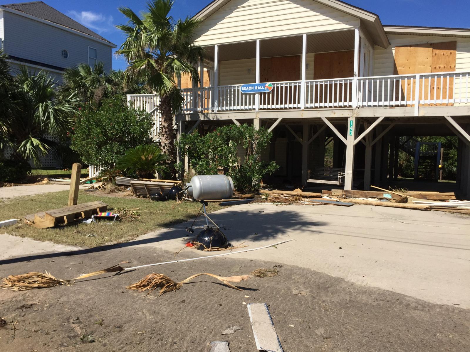
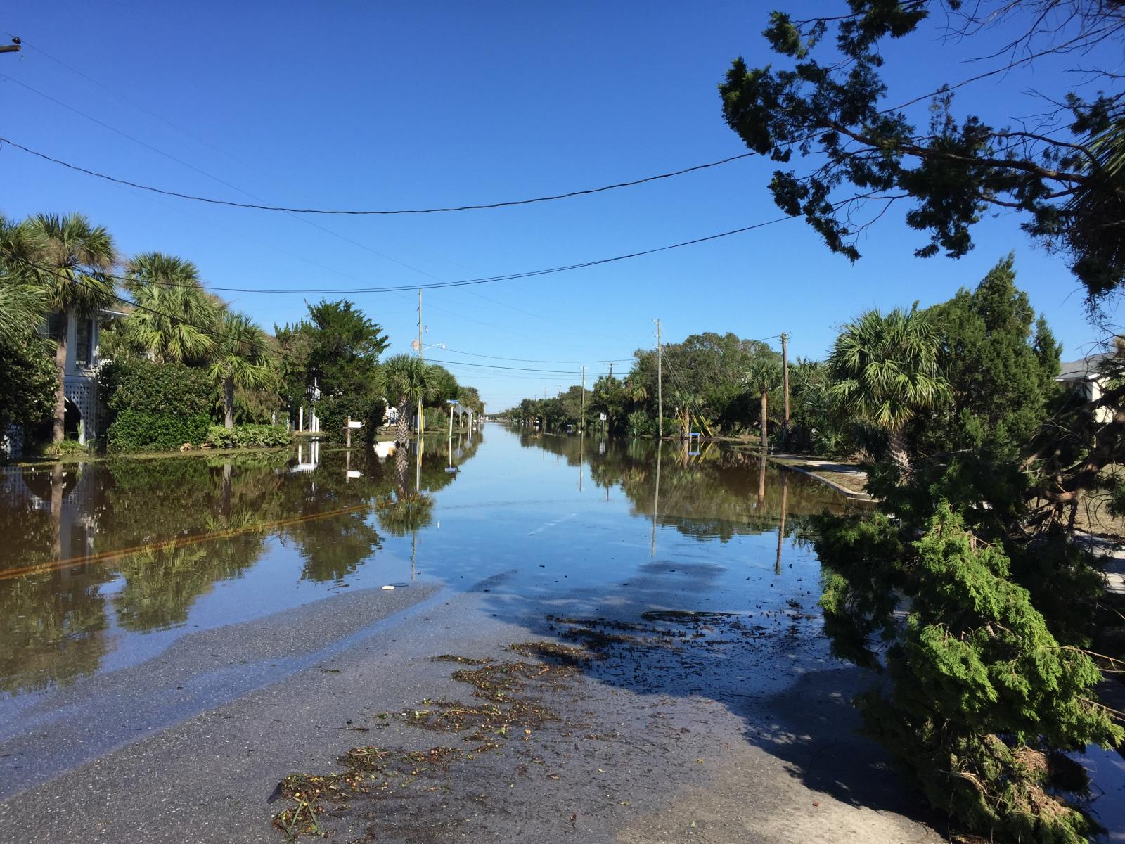
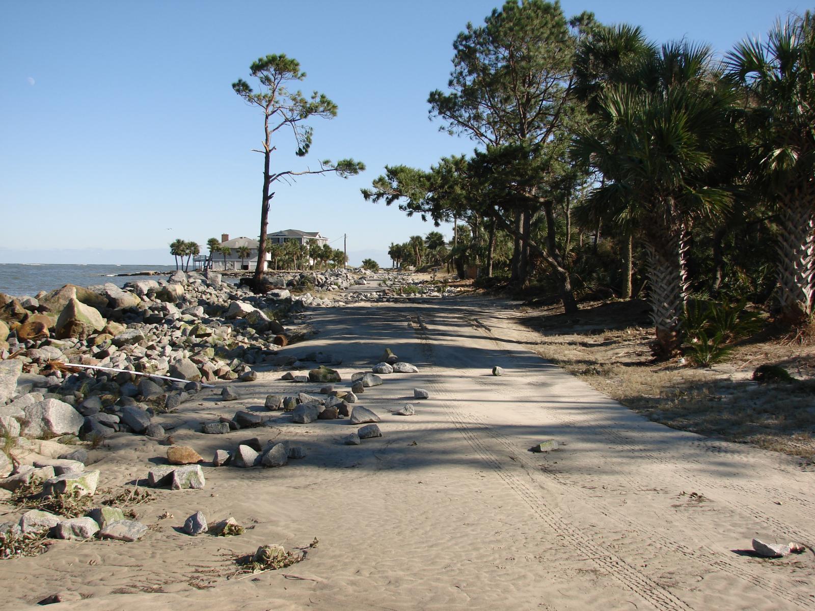
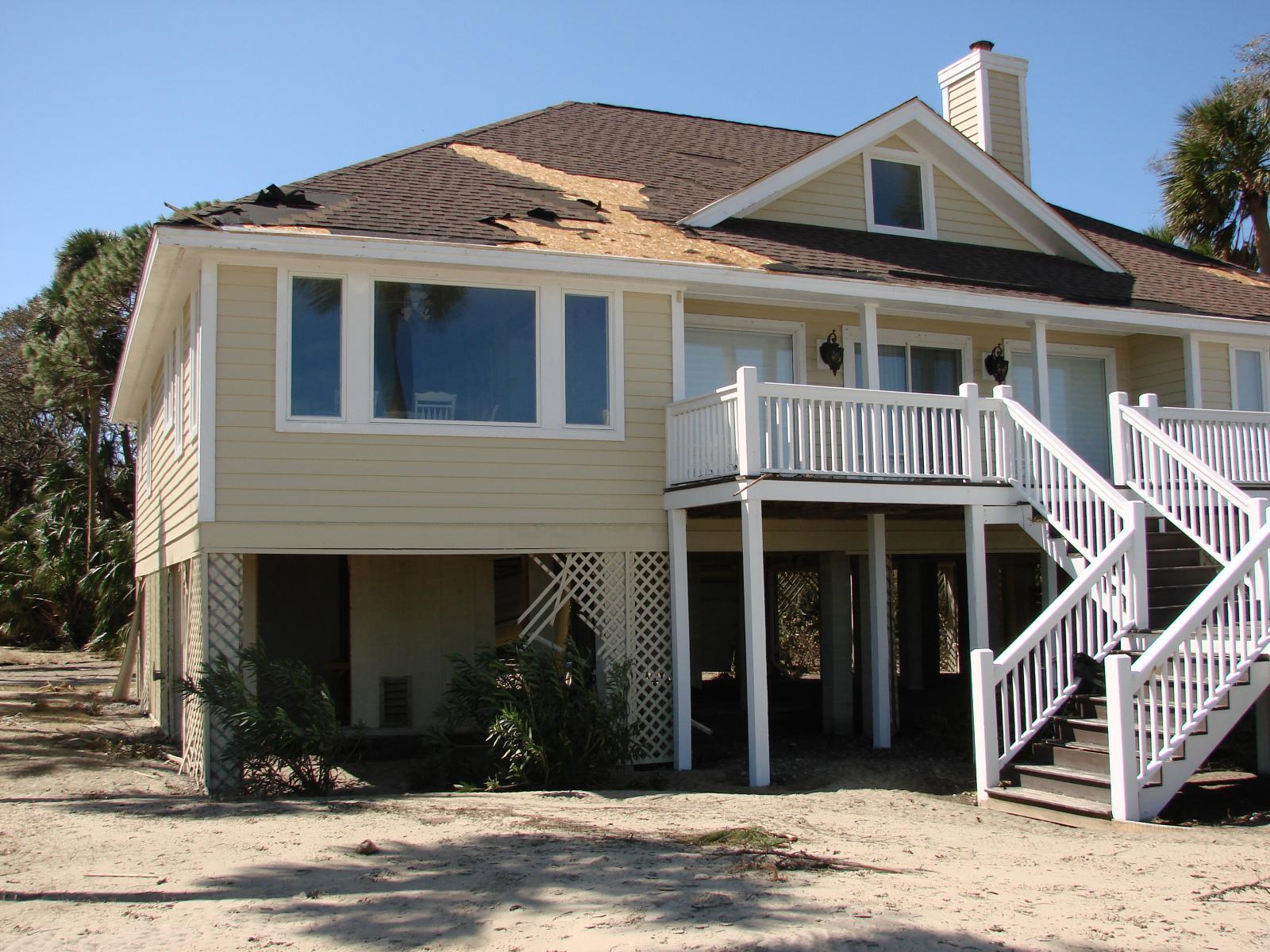
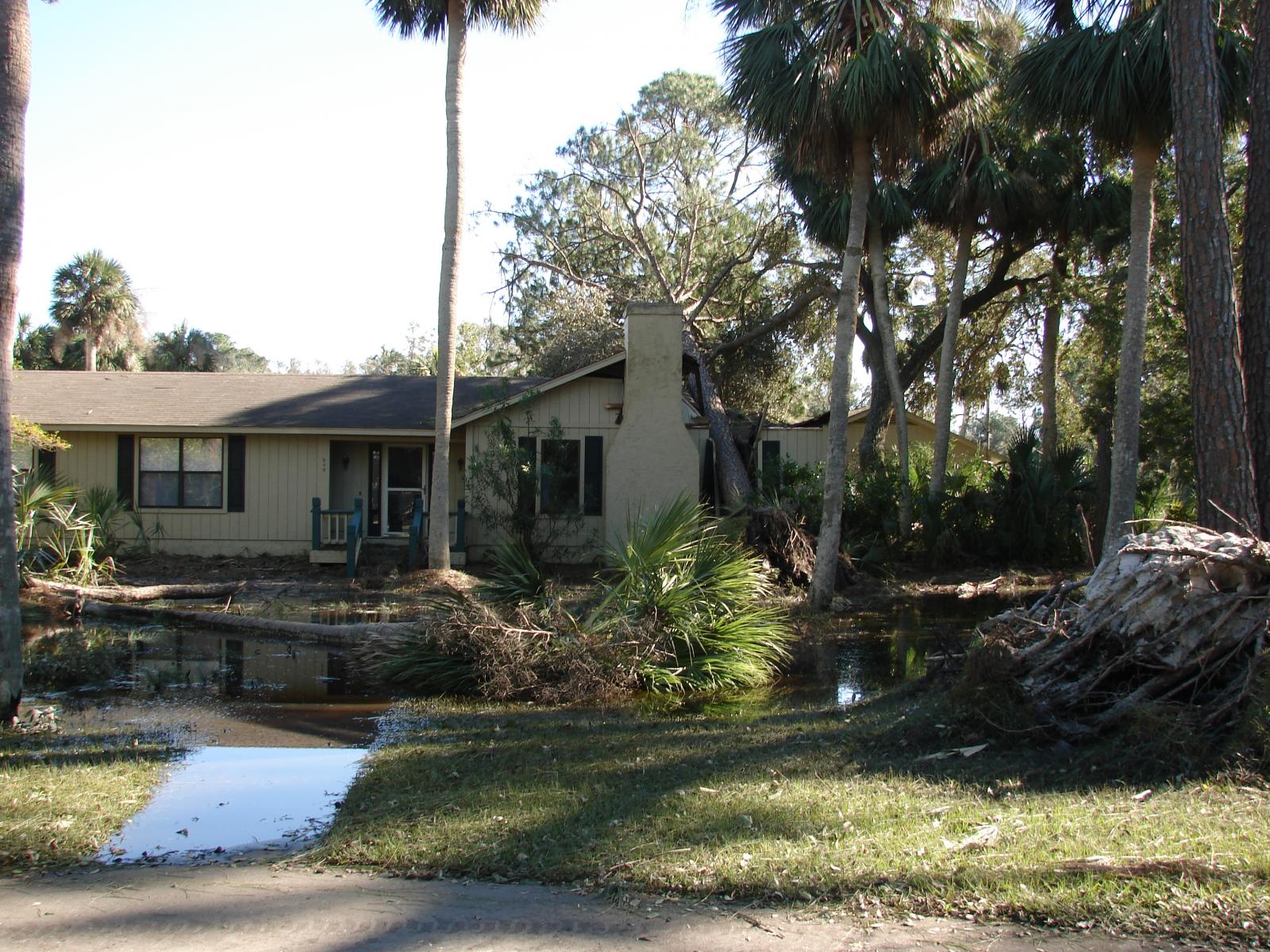
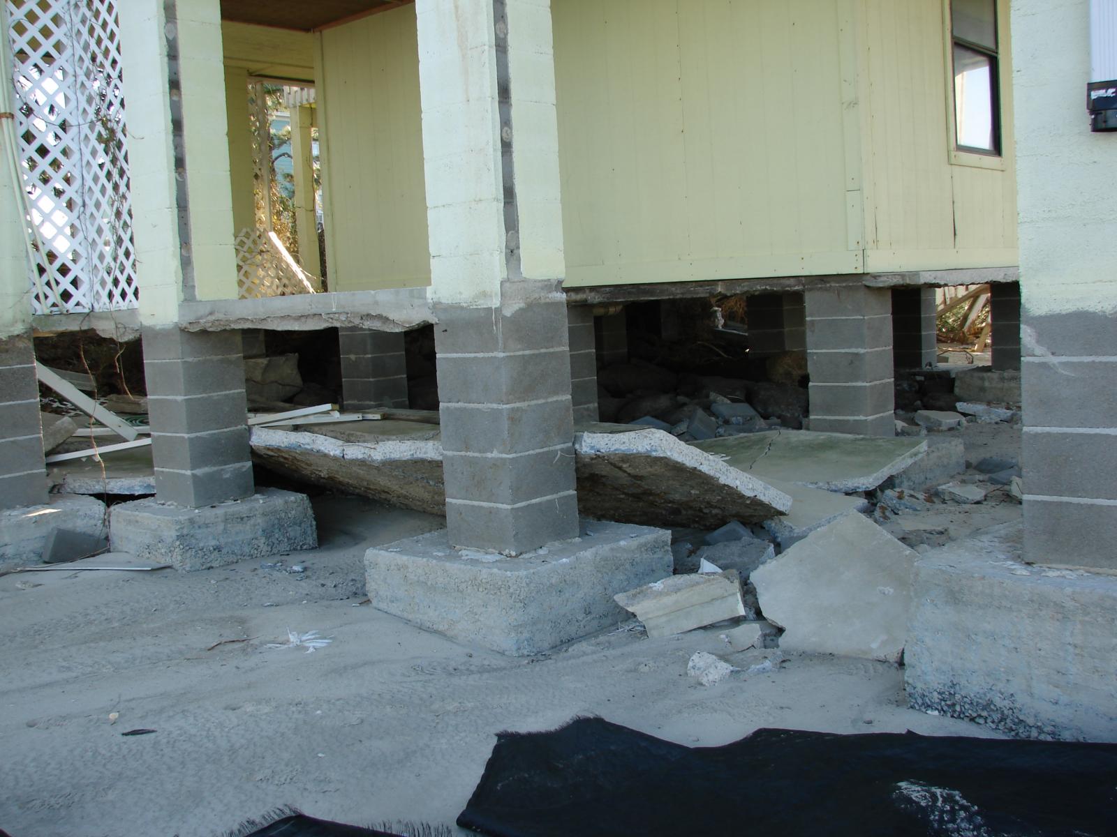
| Edisto Beach, SC | |||
 |
 |
 |
 |
 |
 |
 |
 |
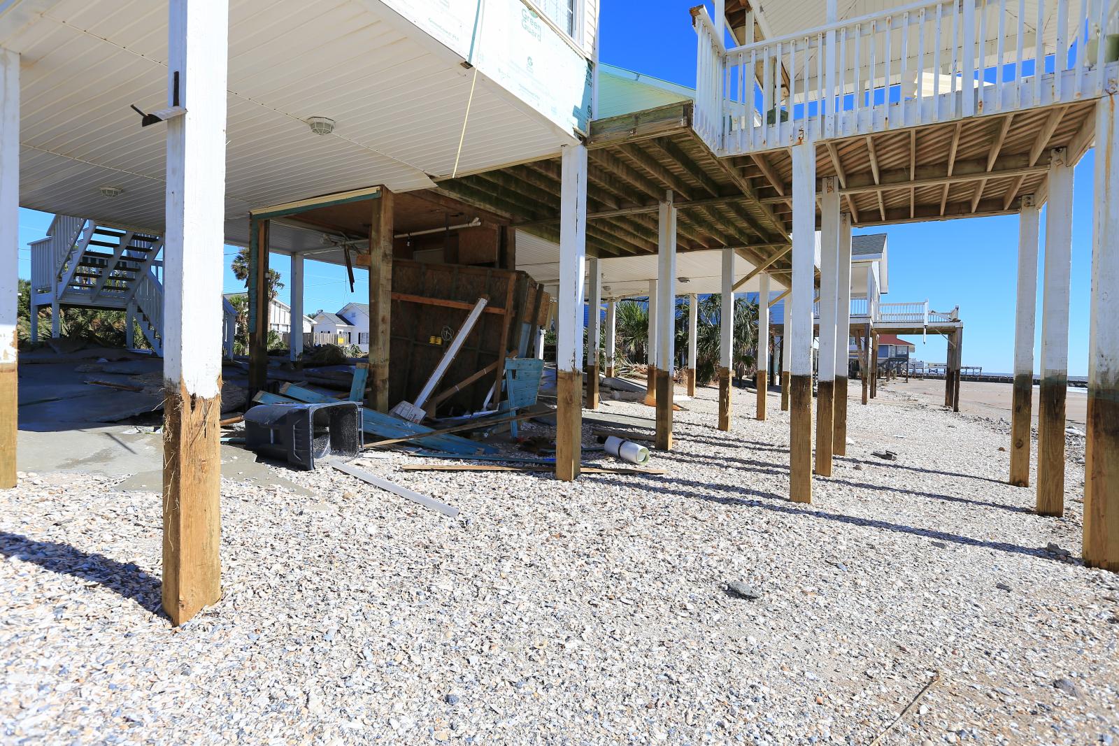
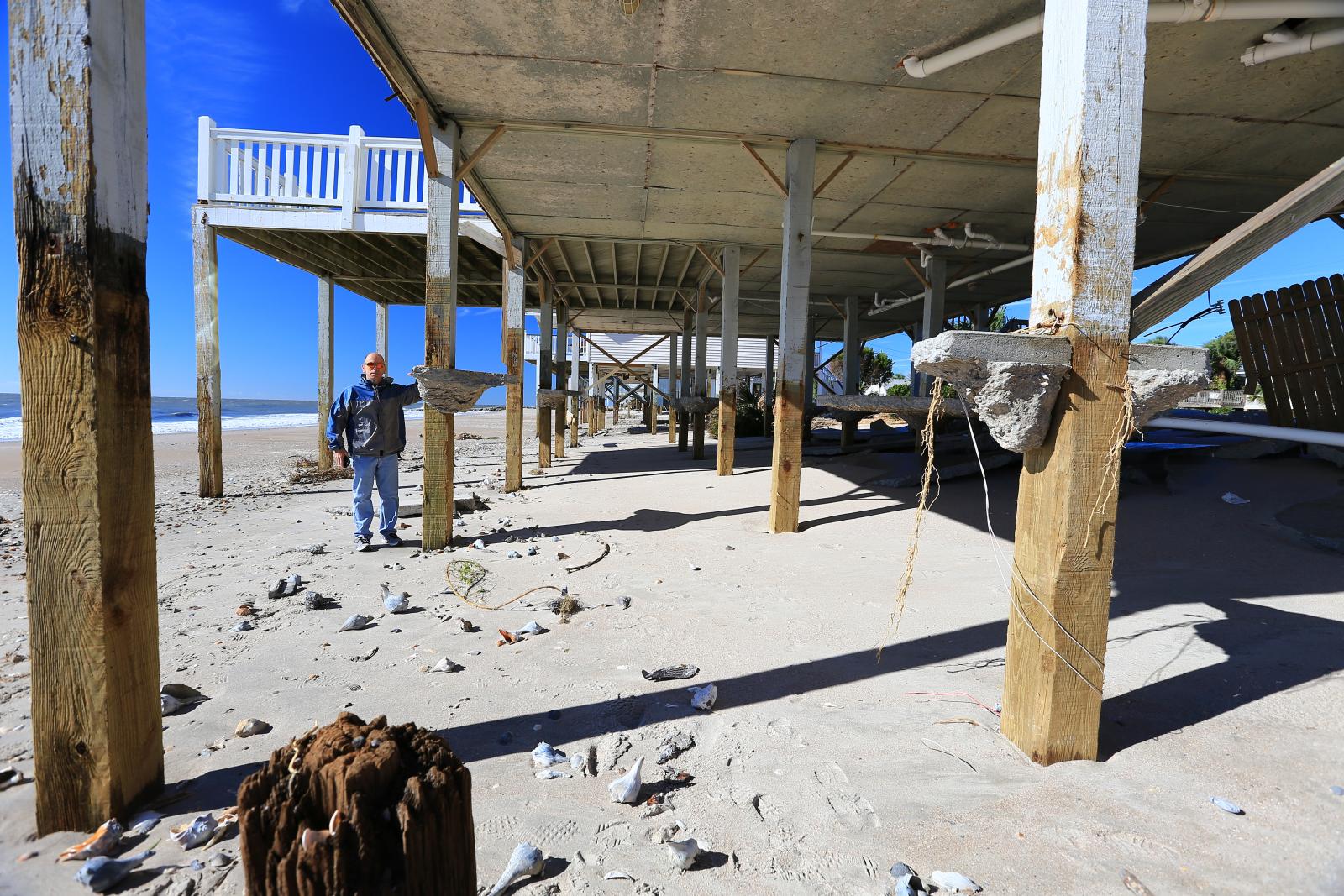
| Fripp Island, SC | |||
 |
 |
 |
 |
| Harbor Island, SC | |||
 |
 |
 |
 |
| Dataw Island, SC | |||
 |
 |
 |
 |
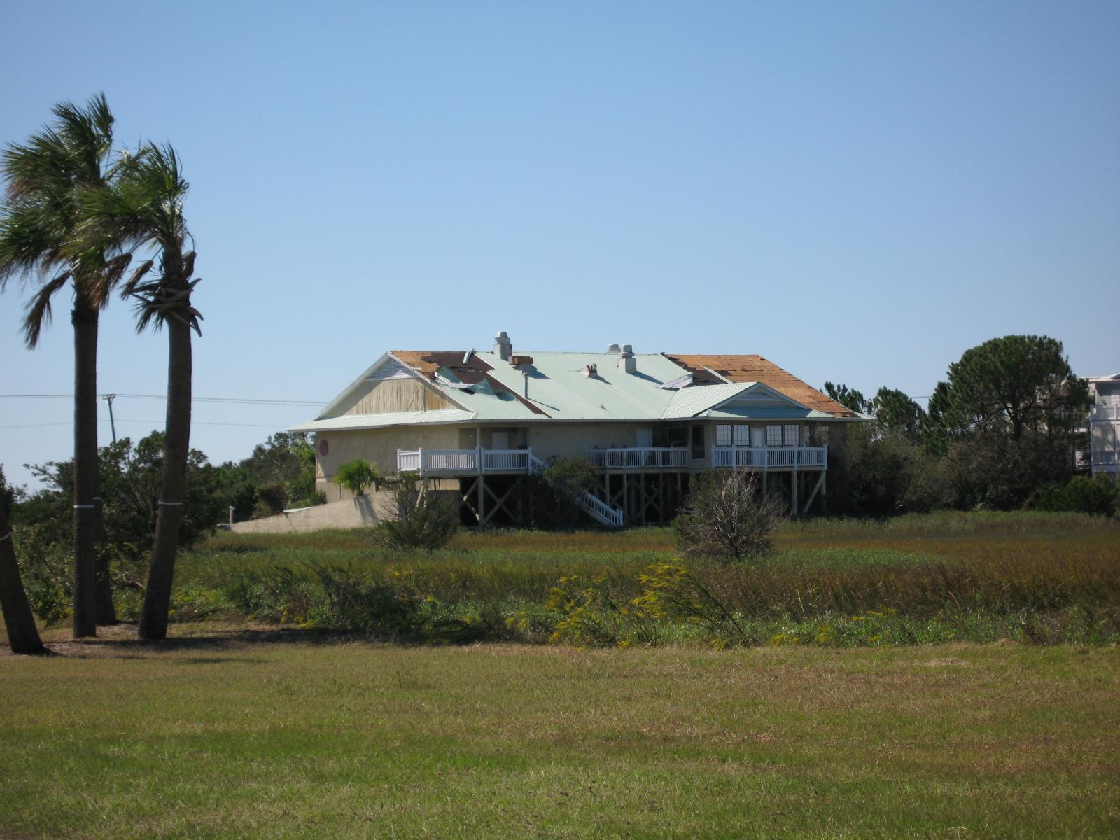
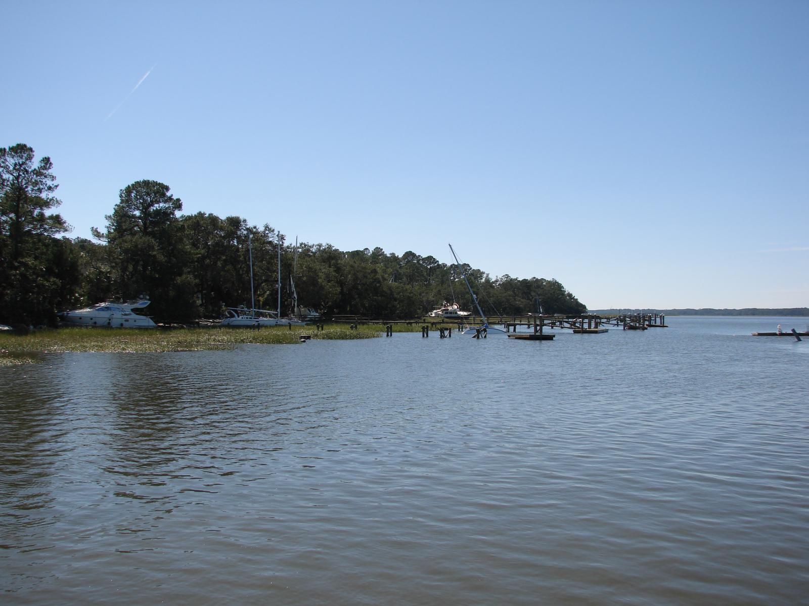
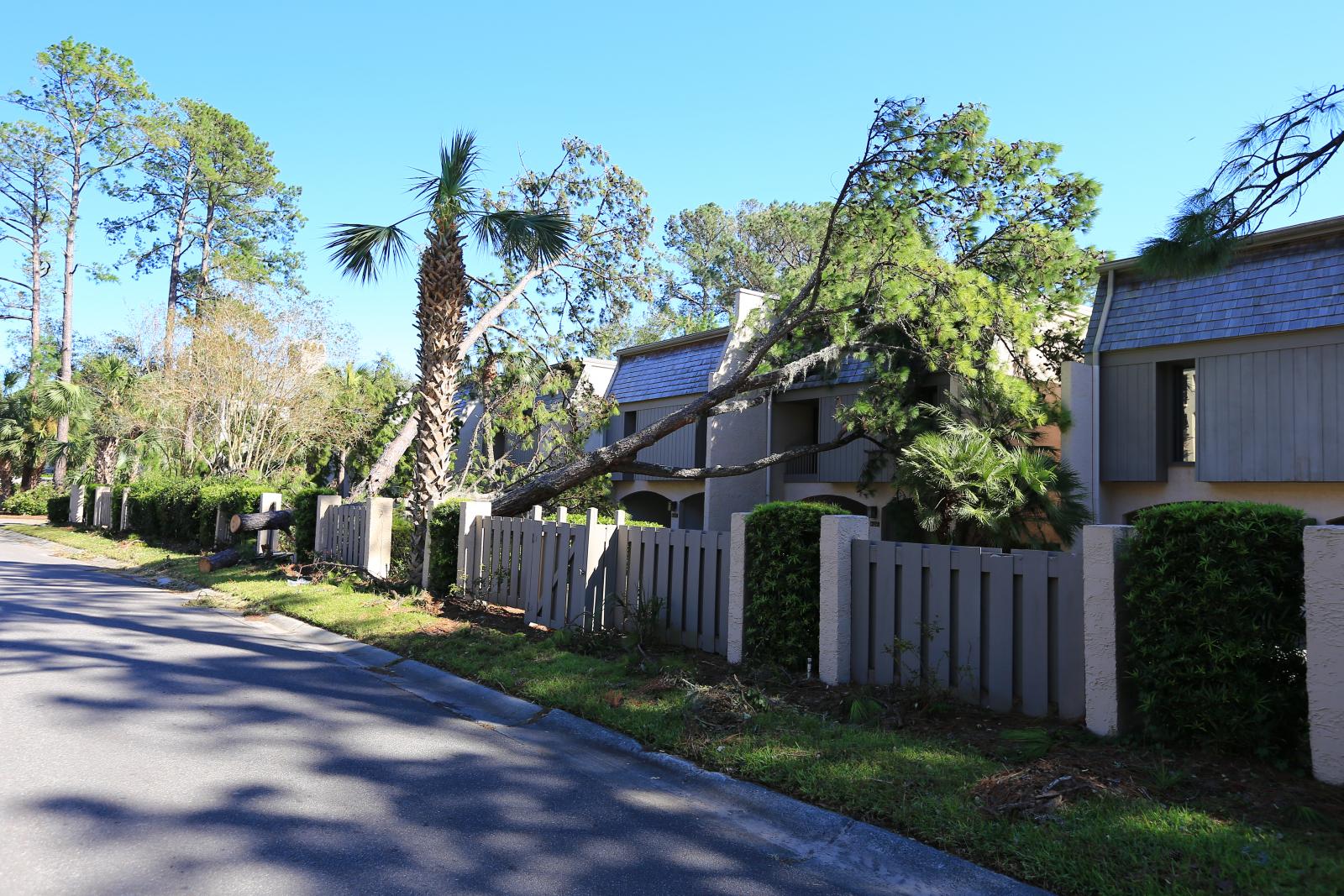
| Hilton Head Island, SC | |||
 |
 |
 |
 |
| Tybee Island, GA | |||
 |
 |
 |
 |
 |
 |
 |
|


 Coastal Flood