Overview
|
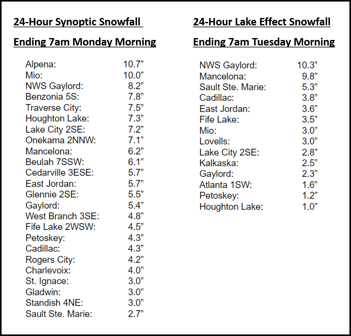
A strong low pressure system passing just north of the U.P. brought a band of heavy wet snow (snow-to-liquid ratios initially about 10:1) starting on Sunday December 5th, which eventually changed over to lake effect snow on Monday. This lake effect lasted into midweek. Once it overcame dry low level air late Sunday morning, the band continued moving northeastward into the U.P. through mid-day. Snow persisted fairly consistently through the rest of the day across the entire area. This storm system had great upward motion and moisture to work with. We saw at least a half inch of liquid across the entire forecast area and an enhanced area of 0.75” to 1.00” of liquid southeast of a line from Houghton Lake to Alpena. This resulted in a wide swath of 6 to 8 inches stretching from around Grand Traverse Bay over to Alpena, with localized portions of Crawford and Oscoda counties getting 10 to 12 inches where enhanced lift was located. More convective elements within the snow resulted in a few reports of thundersnow near Cadillac and Kalkaska late Sunday afternoon. There wasn’t much freezing rain or sleet associated with this system (as was originally thought) as it was already occluded by the time it reached Michigan, with the system’s warm sector never reaching into the area. There was a brief break overnight as moisture stripped out of the region. As the surface low passed just north of Whitefish Bay on Monday morning a strong cold front came blasting through the area. Accompanying this was a burst of very heavy snow and drastically reduced visibilities that crossed Northern Lower. We then transitioned to lake effect snow as colder air poured into the region. One lake effect band become dominant and dumped nearly another 7 inches on the office overnight Monday night. In total the office received 18.5” for the 48-hour period between Sunday morning and Tuesday morning, with lake effect lingering in the typical northwest flow areas for a few days beyond this. Winds with the low pressure system were typically in the upper 40’s mph, with a few sporadic gusts to near 60 right along the coasts and in the nearshore waters. |
 Radar loop of December 5th through December 6th |
Photos (click to enlarge):
Submitted Via Social Media & Emergency Management
 |
 |
 |
|
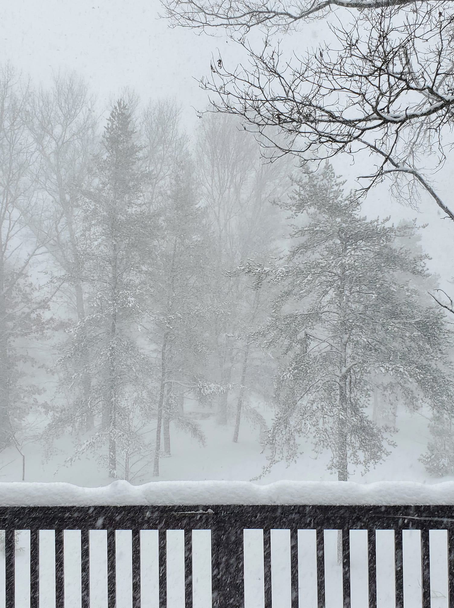
| Cindy Mason Lewiston, MI |
Deb Stafford Meauwataka, MI |
Patti Lingaur 8 East Gaylord, MI |
Paula Anderson Spalding Suttons Bay, MI |
 |
 |
 |
 |
| Fred Lindsey III Lewiston, MI |
Joshua Woodruff Wilderness Valley (4 W Waters) |
Kathie Parks Lewiston, MI |
Sabrina Jauernic Gaylord, MI |
 |
 |
 |
 |
| Rose Zeigler Fife Lake, MI |
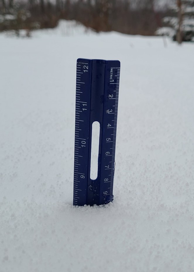
Sherry Bailey Mancelona, MI |
Rebecca Crowell Merritt Speedway, MI |
Julie Patrick-Murphy Near Mio, MI |
Snowfall Reports


 |
Media use of NWS Web News Stories is encouraged! Please acknowledge the NWS as the source of any news information accessed from this site. |
|


 Follow us on YouTube