Clear and cold across the Land of Enchantment tonight, with northwest breezes of 15 to 20 mph in the mountains making it feel even colder. A waning gibbous moon at 81% illumination will grace the sky.
Breezy to locally windy conditions are expected to return Tuesday for east central and some southeastern locations, especially along the eastern slopes of the central mountain chain south of I-40.


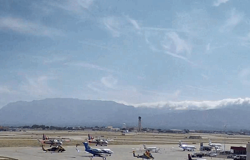 Office Webcam
 Weather Map
 Satellite Imagery