A strong ridge of high pressure over the Southern Plains today will move west into eastern Arizona Friday and near the Four Corners Saturday. As this happens, we will see a drastic increase in afternoon high temperatures across all of Southeast Arizona.
For the Tucson Metro Area, we will go from a minor HeatRisk today to major HeatRisk Friday and Saturday, even flirting with and extreme HeatRisk. This is that subtle reminder to stay hydrated as we move into the weekend.


 Forecast Discussion
 Tucson Radar
 MRMS radar imagery
 GOES-18 Satellite
 Southern Arizona
 Detailed Hazards
 Weather Map
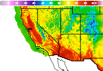 Graphical Forecasts
 Heat Risk
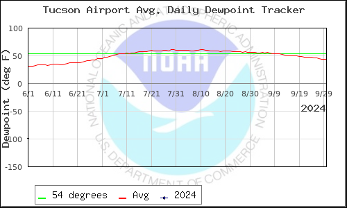 Monsoon
 Climate Graphs & Charts
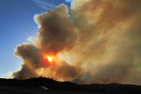 Fire Weather
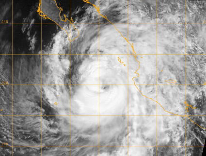 Tropical
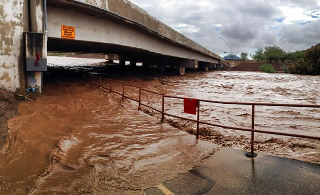 Hydrology
 Skywarn
 Drought Page
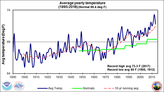 Past Tucson Climate reports
 Hourly Forecasts