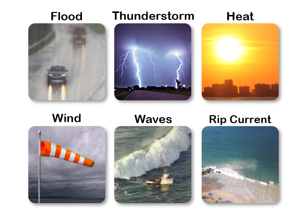
📅 Sat Nov 22, 2025: Expect mostly sunny skies, pleasant temperatures, and only a few brief showers across Puerto Rico and the U.S. Virgin Islands. Outdoor conditions will be excellent, with no significant weather hazards inland. However, dangerous rip currents remain possible, mainly along north- and east-facing beaches. If visiting the coast, exercise caution, follow beach flag warnings, and swim near lifeguards. | Espere cielos mayormente soleados, temperaturas agradables y solo algunos aguaceros breves en Puerto Rico y las Islas Vírgenes. Las condiciones serán excelentes para actividades al aire libre, sin riesgos significativos en el interior. Sin embargo, posibles corrientes marinas peligrosas, especialmente en playas del norte y este. Si visita la costa, ejerza precaución, siga las banderas de advertencia y nade cerca de salvavidas.


 Graphical Hazardous Weather Outlook
 Tropical Analysis
 Tropical Weather
 Regional Satellite
 Puerto Rico and US Virgin Islands