NWS All NOAA
San Diego, CA
Weather Forecast Office
Last Map Update: Fri, Dec 5, 2025 at 10:40:21 pm PST


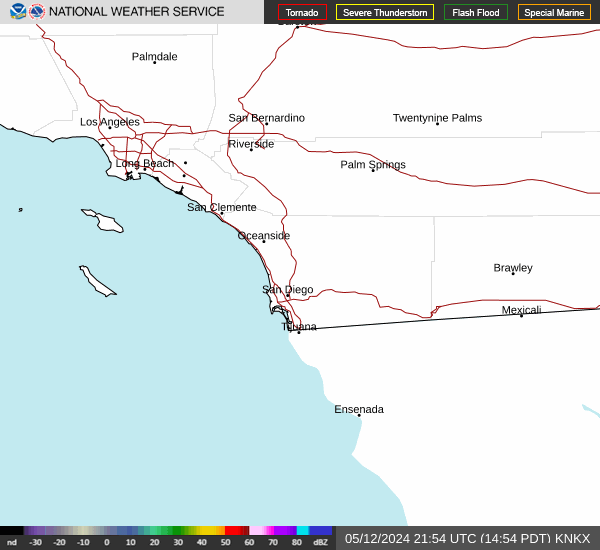 San Diego Radar
 Santa Ana Radar
 Satellite