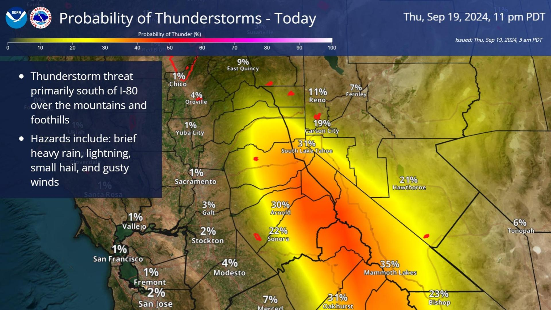
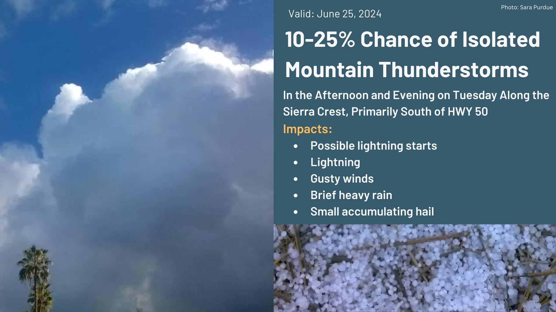
As unsettled weather continues throughout the week ahead isolated thunderstorm chances are forecast for the Sierra and adjacent foothills this afternoon and evening.
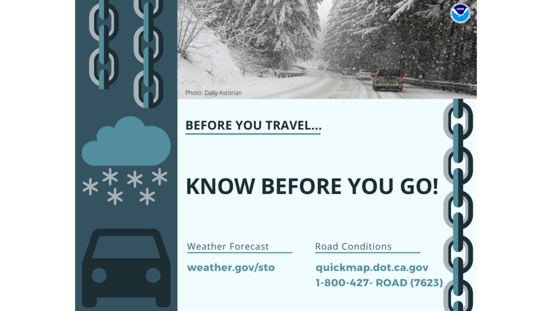
Rain is in the forecast. Take it slow and be prepared for delays. Use your headlights. Leave extra space between you and other vehicles. Use your headlights. Latest forecast at weather.gov/sto. Traffic info at quickmap.dot.ca.gov





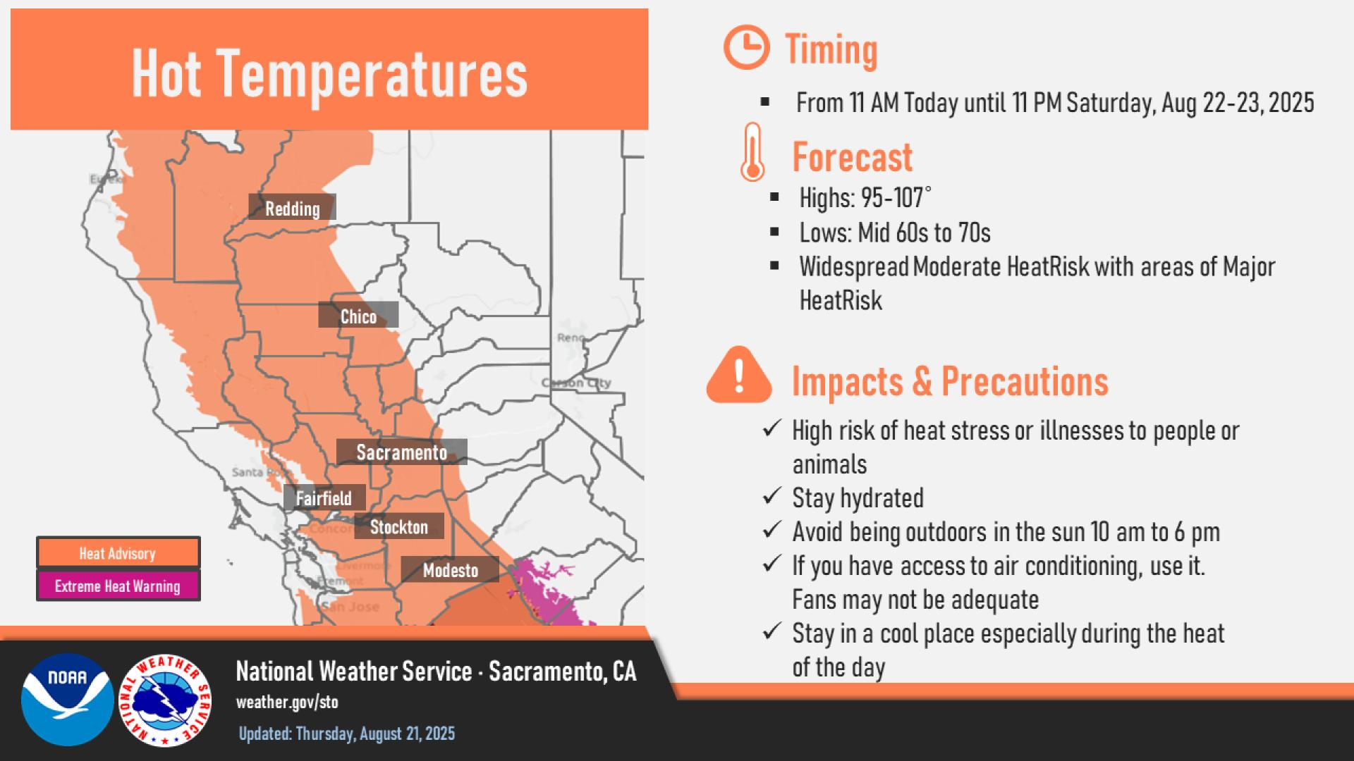
 Social Media Feeds
 Sacramento Radar
 Beale Radar
 Satellite
 Graphical Forecasts - Local
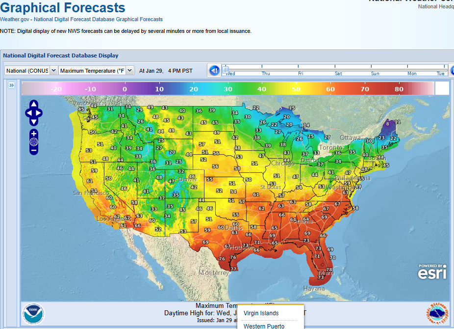 Graphical Forecasts - U.S.
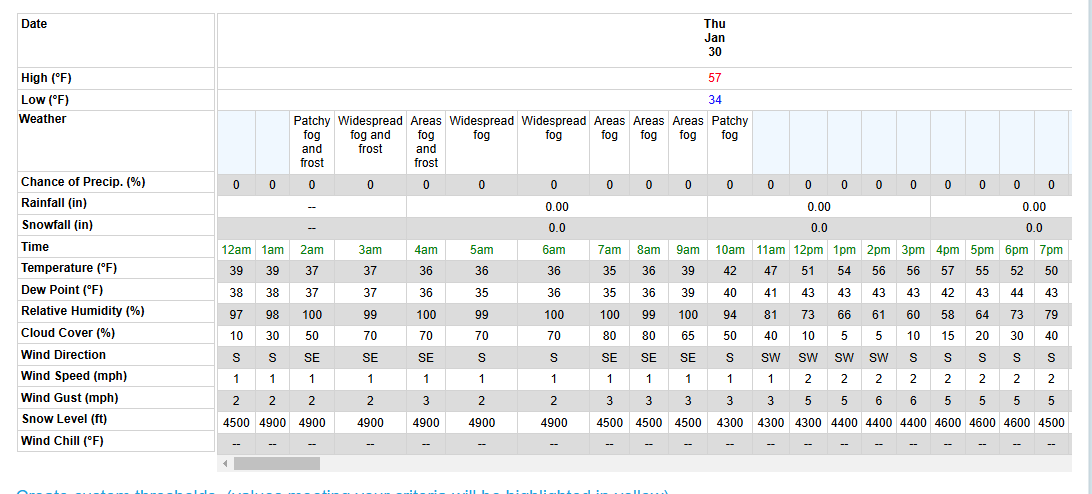 Forecast Weather Tables
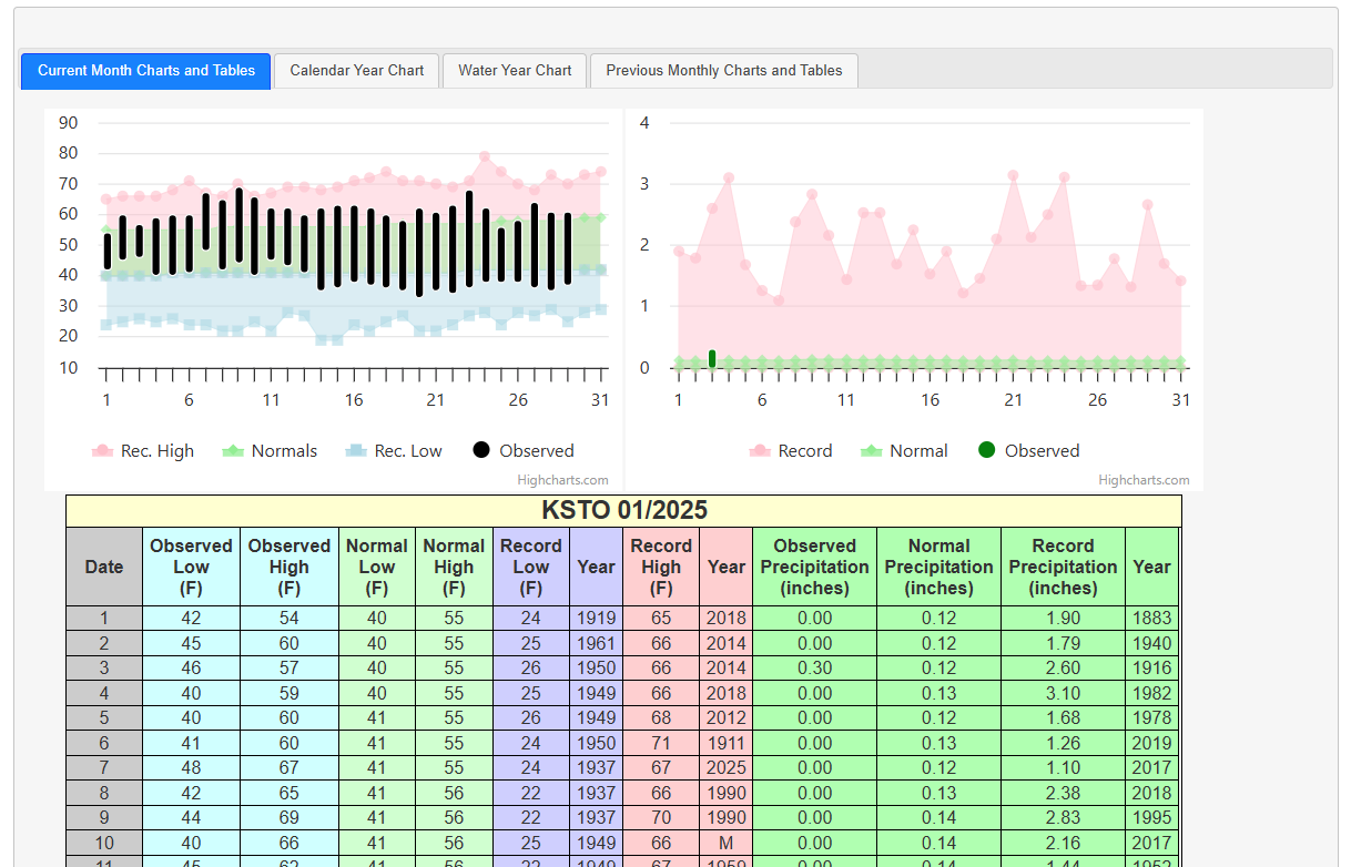 Recent STO Temperatures
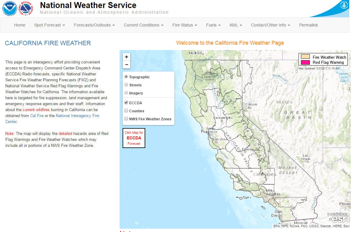 California Fire Weather Page
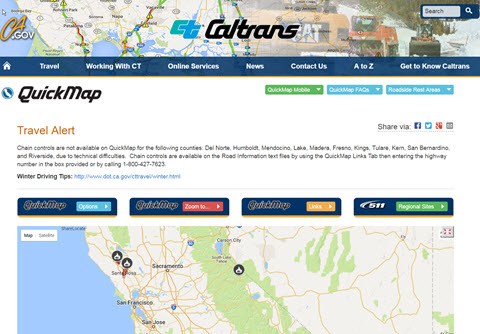 Caltrans QuickMap
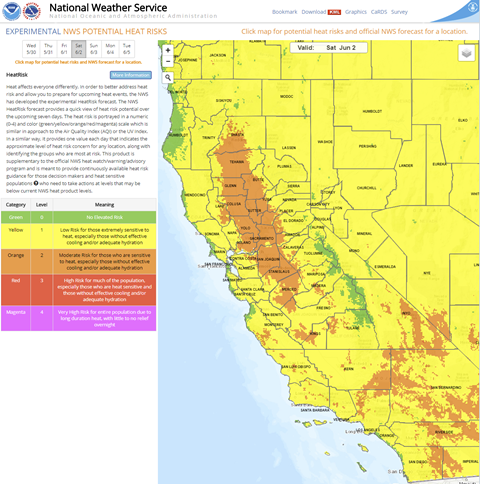 Heat Risk Link
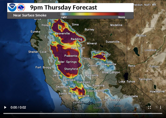 Experimental Smoke Forecast
 Weather Stats
 Follow us on X
 Follow us on Facebook
 Follow us on YouTube
 STO RSS Feed