
Hurricane Isaias is expected to make landfall along the U.S. northern Gulf Coast late Friday or early Saturday. A life-threatening storm surge is expected along the coast with damaging wind gusts extending well inland. Areas of heavy rainfall are forecast throughout much of the Southeast U.S. The remnants of Rachel will bring gusty winds and heavy rainfall to the Southwest U.S. this weekend. Read More >
Last Map Update: Fri, Oct 9, 2026 at 6:12:25 am PDT

|
Text Product Selector (Selected product opens in current window)
|
|





 Forecast Discussion
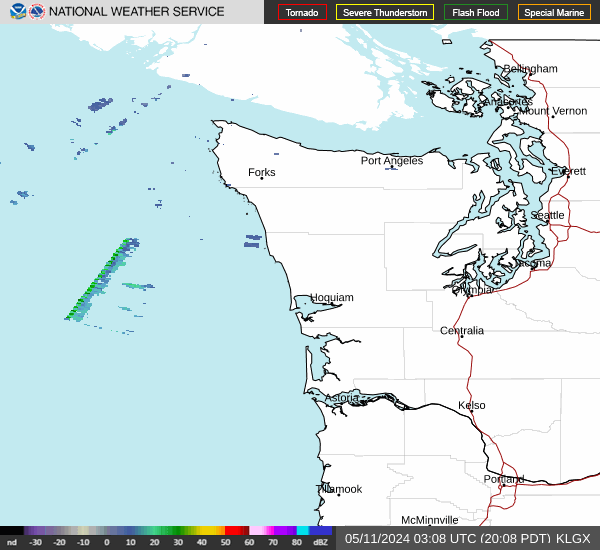 Langley Hill Radar
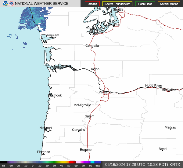 Portland Radar
  Satellite
 Rivers & Lakes
 Current Weather
 Graphical Forecasts
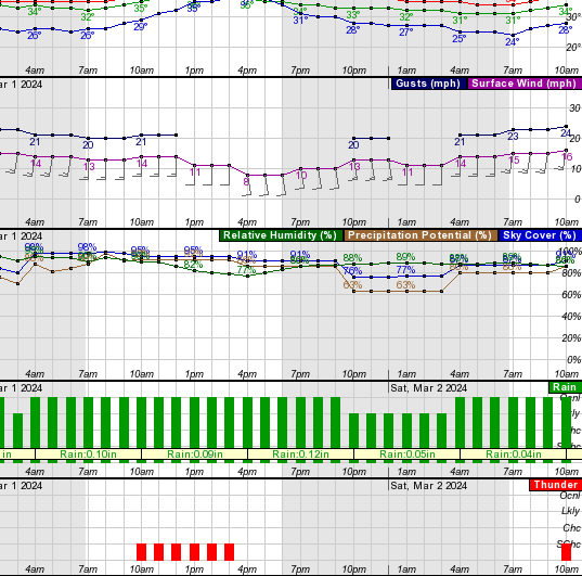 Forecast, Hourly
 Submit Storm Report
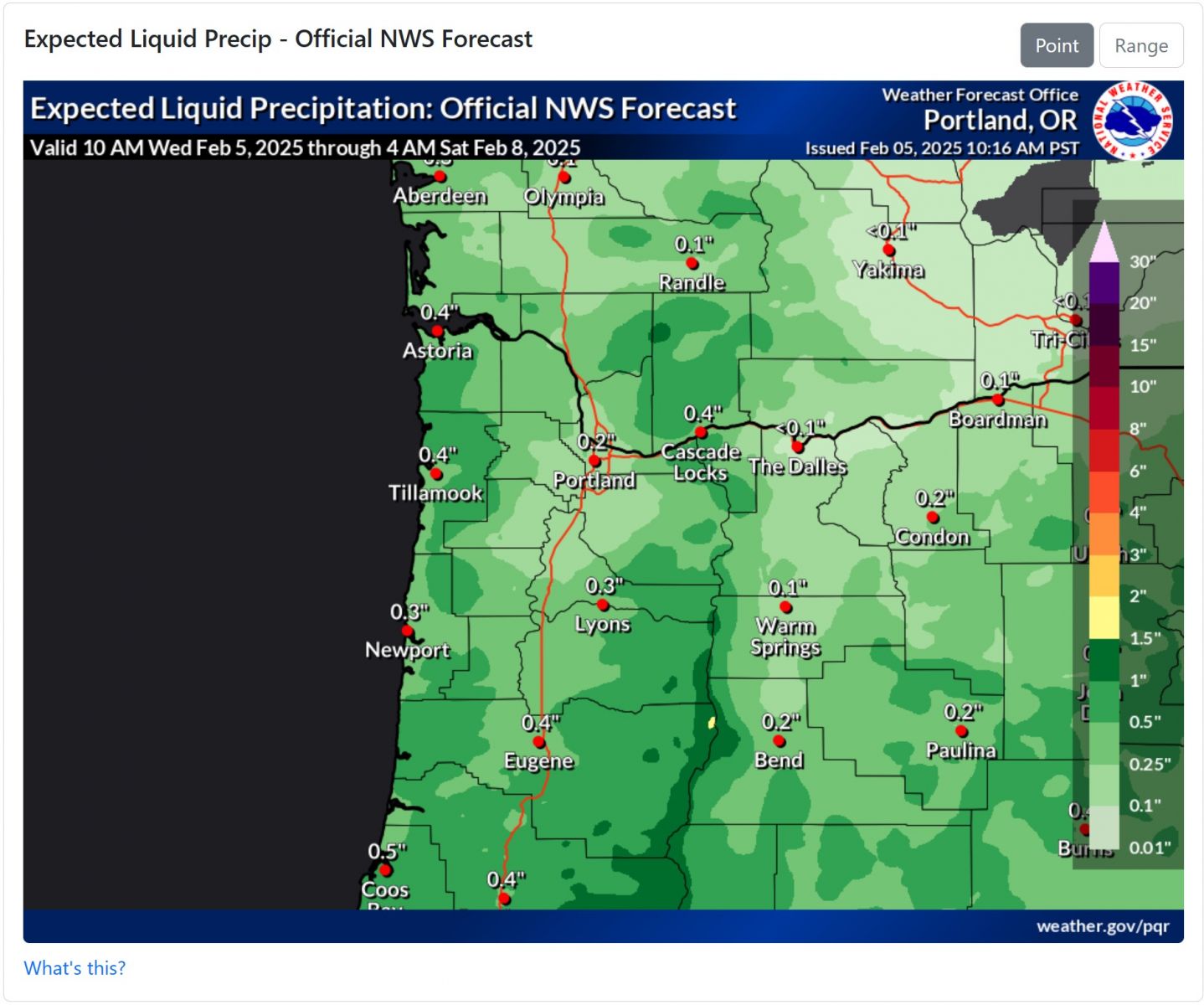 Experimental QPF Probability
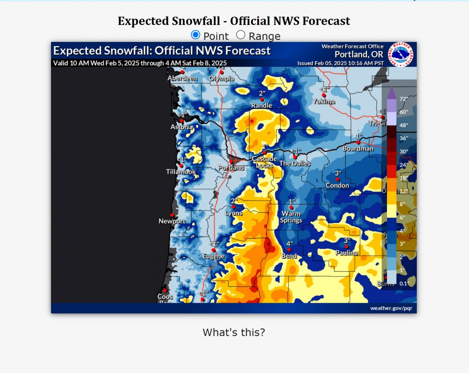 Experimental Winter Probability
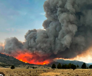 Fire Weather
 Aviation Weather
 Marine Weather
 Bar Obs & Cams
 Drought Info
 Road Conditions
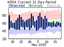 Climate Charts
 Follow us on X
 Follow us on Facebook
 Follow us on YouTube
 PQR RSS Feed