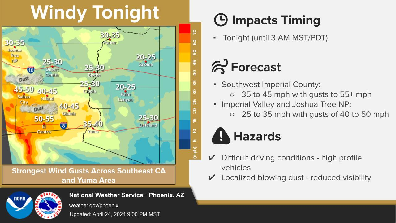
Isolated storm chances will exist this afternoon and evening across parts of Arizona, with the best chances focused over high terrain areas to the north of the Phoenix metro. A few cells may work their way into northern Maricopa County, but most lower desert areas will likely not see any rain. Main impacts with potential activity will be some brief heavy downpours and gusty winds.


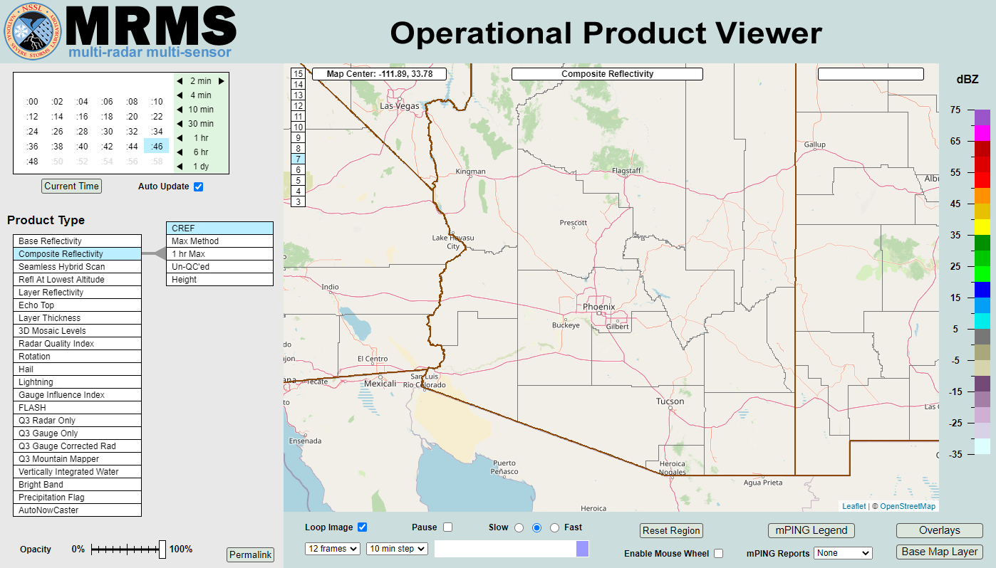 MRMS Radar Imagery
 Phoenix Radar
 Yuma Radar
 Regional Satellite
 GOES-19 Satellite
.PNG) Weather & Hazards Data Viewer
Weather & Hazards Data Viewer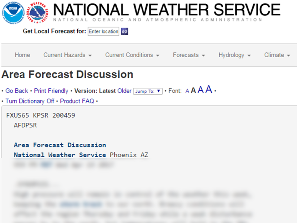 Forecast Discussion
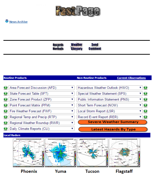 Fast Page
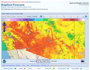 Local Graphical Forecast
 Drought Monitor
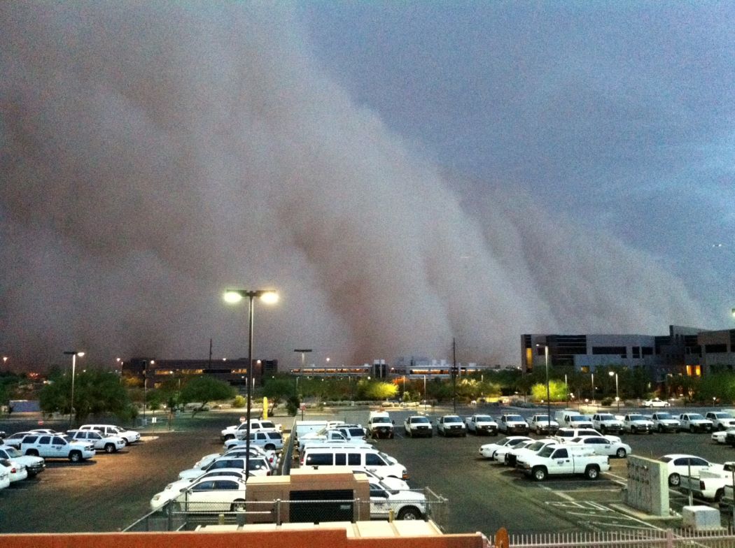 Monsoon Tracker
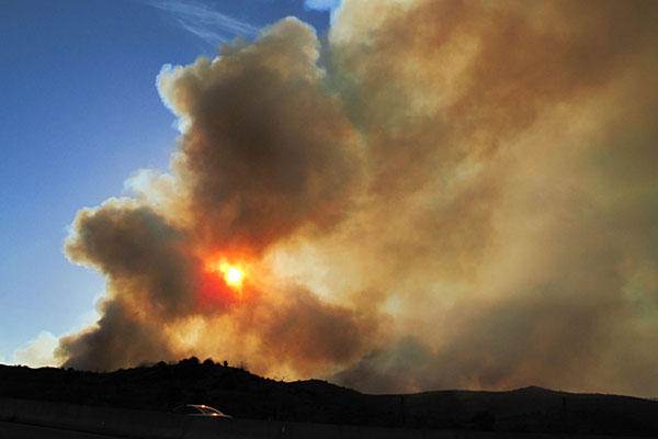 Fire Weather
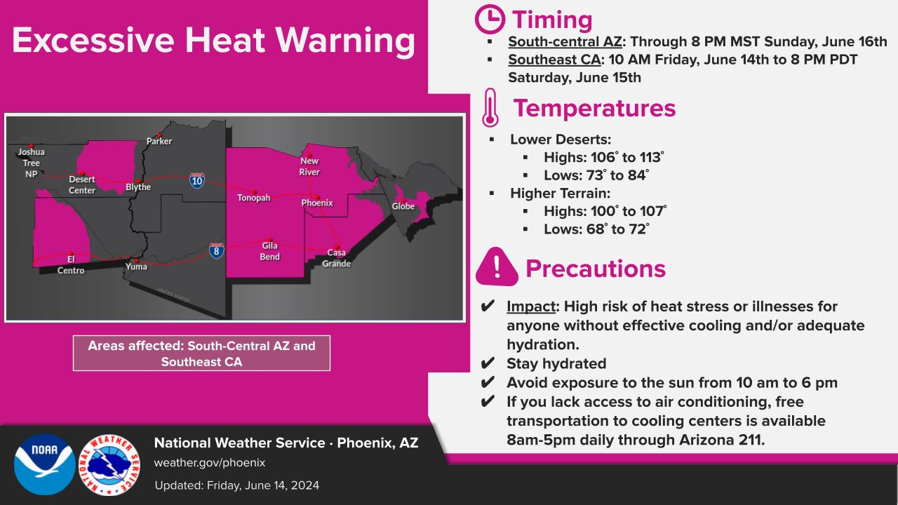
 Heat
Heat Experimental Graphical HWO
 SPC Outlooks
 Hurricane Outlook
 Local Climate Charts
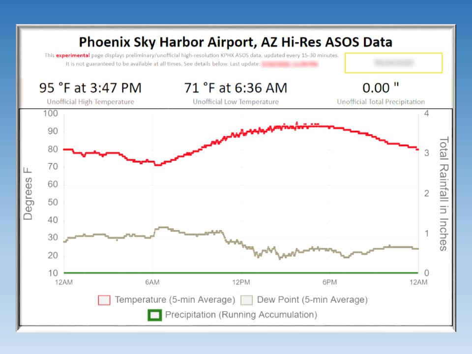 Hi-res KPHX ASOS Data