High pressure aloft, high humidity levels, and mostly sunny skies will allow for above normal temperatures the next few days for portions of Southwest AZ and Southeast CA. Overnight lows in the 80s will be common through Thursday morning in some of the hottest areas. The high humidity will make afternoon highs feel hotter than the actual air temperatures, with Heat Indices forecast upwards of 110° to as much as 120° in the Imperial Valley. An Extreme Heat Warning will be in effect through 8 PM MST/PDT this evening.


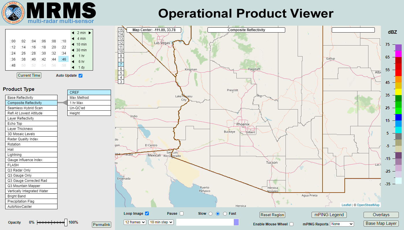 MRMS Radar Imagery
 Yuma Radar
 Regional Satellite
 GOES-19 Satellite
.PNG) Weather & Hazards Data Viewer
Weather & Hazards Data Viewer Forecast Discussion
 Fast Page
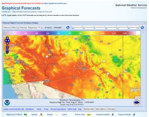 Local Graphical Forecast
 Drought Monitor
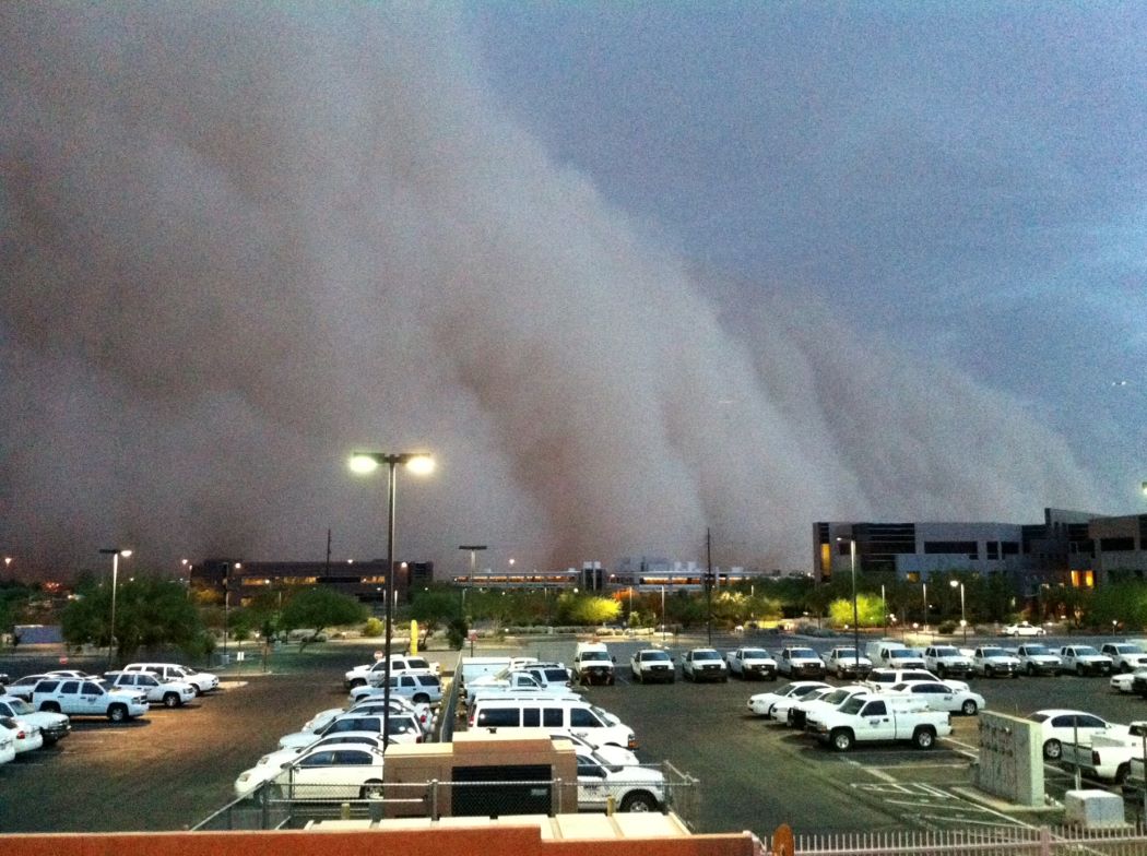 Monsoon Tracker
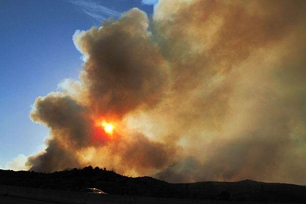 Fire Weather
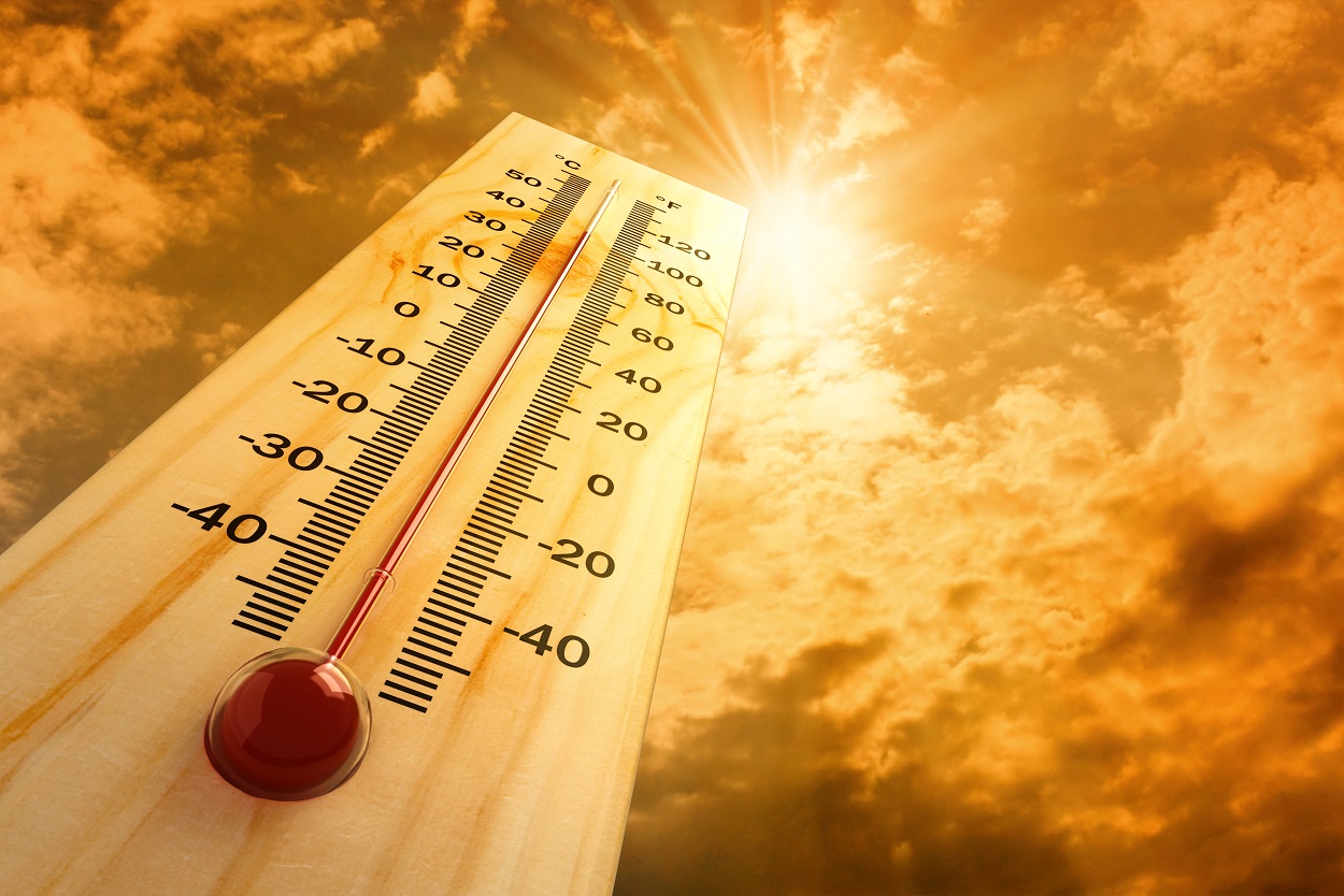 Heat
Heat Experimental Graphical HWO
 SPC Outlooks
 Hurricane Outlook
 Local Climate Charts
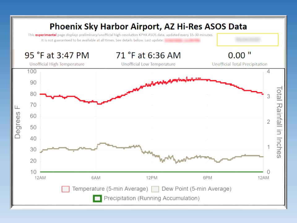 Hi-res KPHX ASOS Data