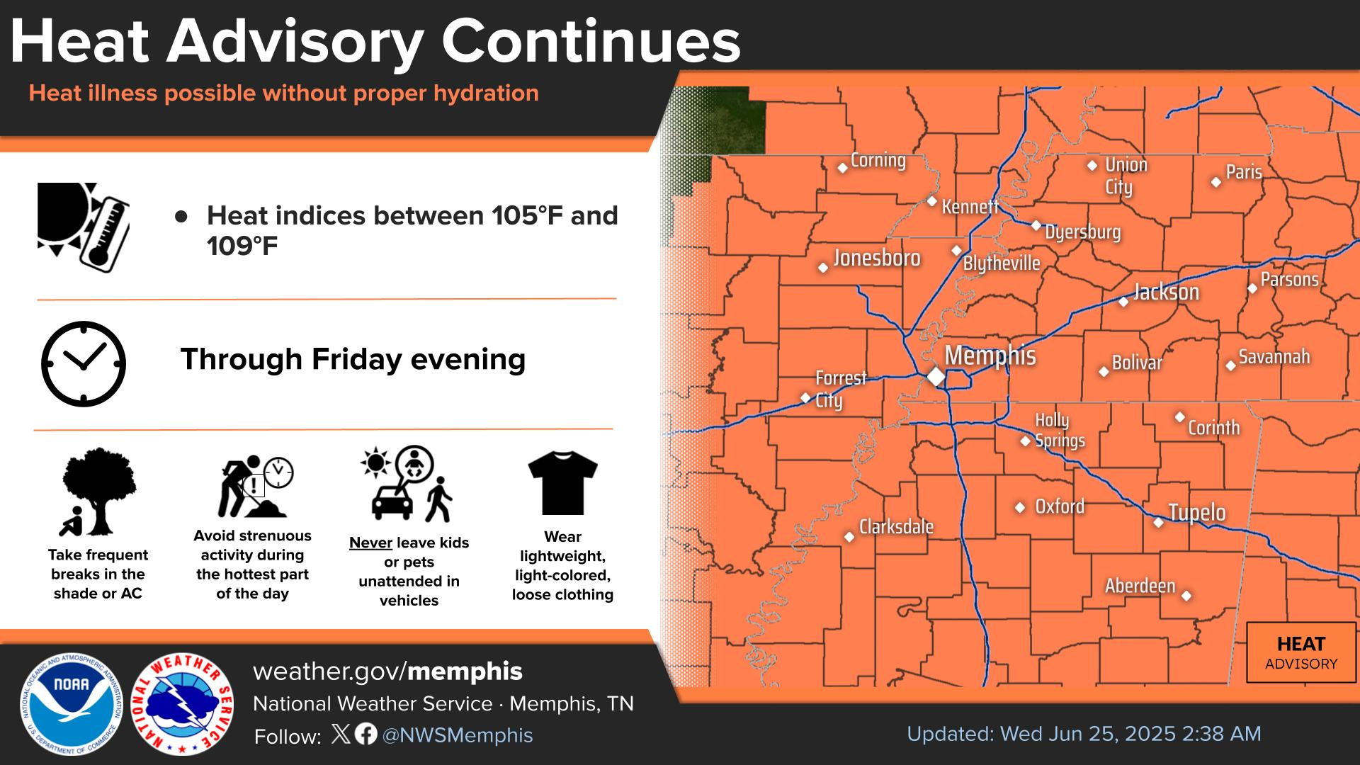
An Extreme Heat Warning and Heat Advisory will go into effect at 10AM Monday and remain through 9PM Tuesday. Heat indices in excess of 105F will be witnessed across the entire Mid-South both days.
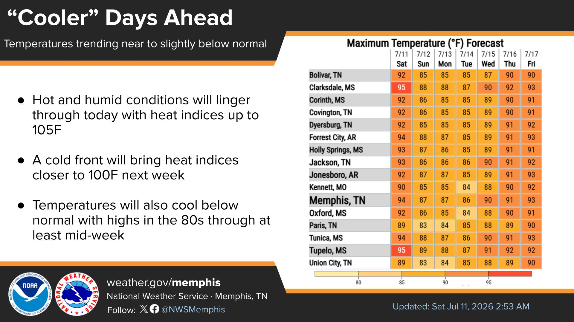
Hot and humid conditions will persist through Tuesday as an upper-level ridge expands over the Mississippi Valley. Heat indices in excess of 105F will be witnessed across the entire Mid-South.
A conditional chance for strong to severe thunderstorms exists across portions of West Tennessee Tuesday evening into early Wednesday. The primary threat will be damaging winds.
Note: "N/A" or "MISG" will be displayed if values are not available. In the LOCATION column, click on links for a list of recent observations at sites of interest. In the WIND column, VRB is "variable" and G is "gust". Wind speeds are in MPH. In the BARO (pressure) column, values are in inches. In the REMARKS column, HX is "heat index", WCI is "wind chill index", and VSB is "visibility" (if shown).













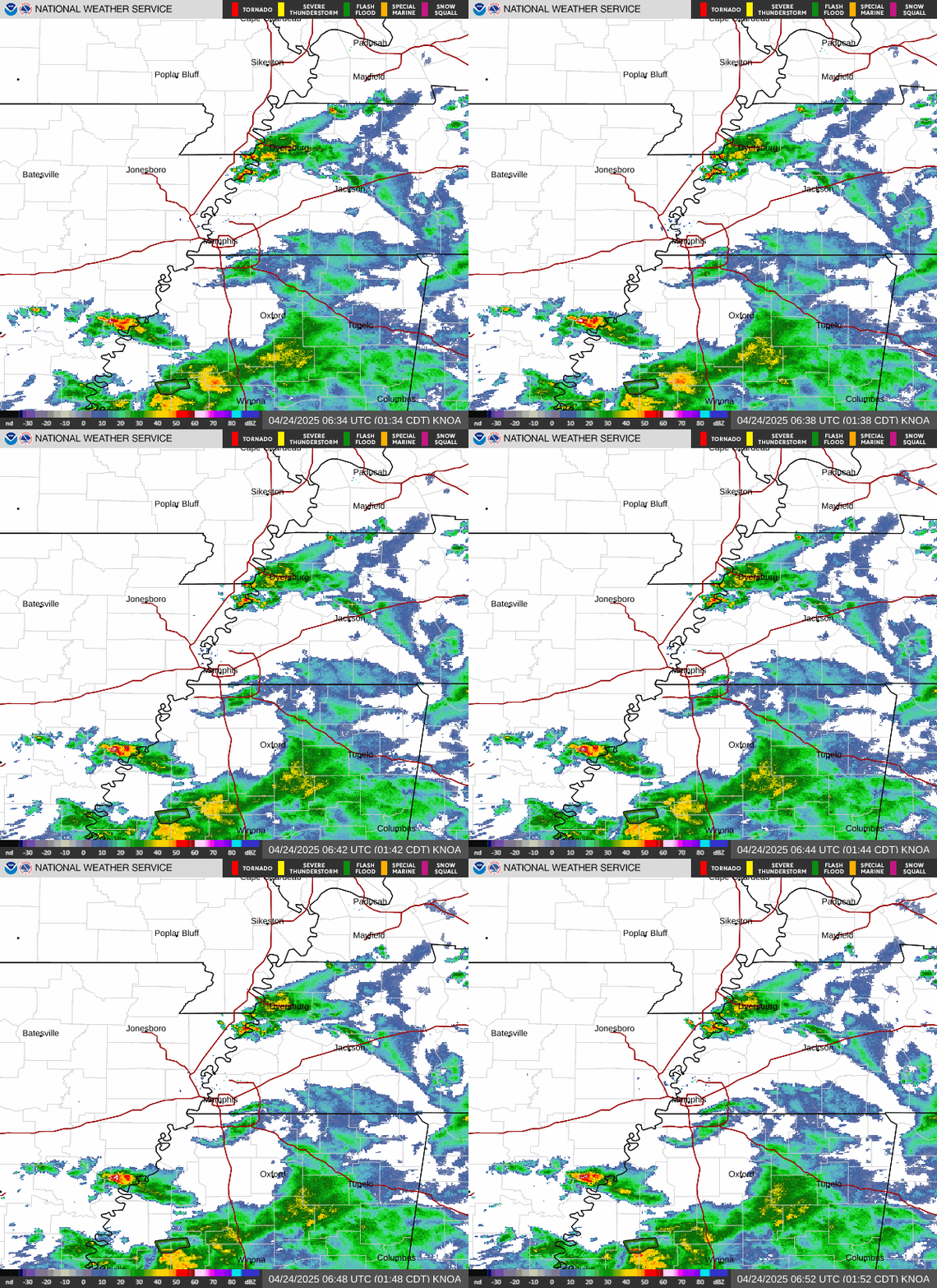 Local Radar
 Weather Map
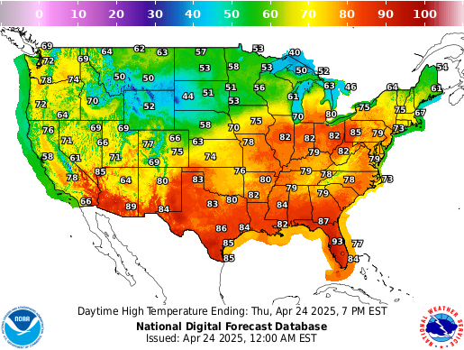 Graphical Forecast
 Follow us on X
 Follow us on Facebook
 Follow us on YouTube
 MEG RSS Feed