
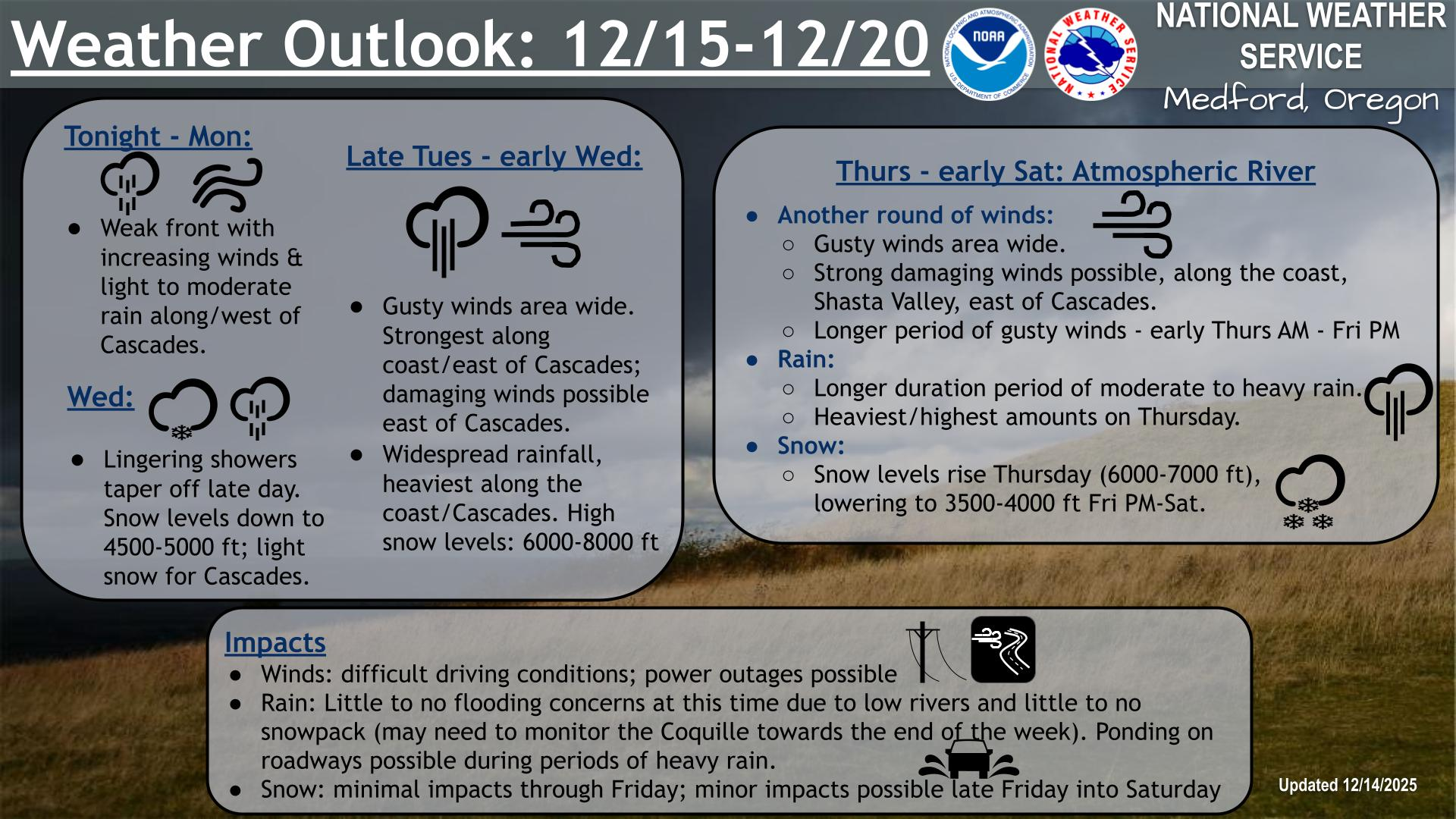
Strong to severe thunderstorms will continue tonight across portions of the Ohio Valley into the Mid-Atlantic. Heavy rains may bring an isolated flash flooding threat over the central Appalachians, particularly in West Virginia. Moderate to heavy snow will continue over portions of northern Minnesota and the Upper Peninsula of Michigan through Tuesday morning. Read More >
Last Map Update: Tue, Apr 15, 2025 at 4:20:20 am PDT
|
Text Product Selector (Selected product opens in current window)
|
|


 Lightning Climatology
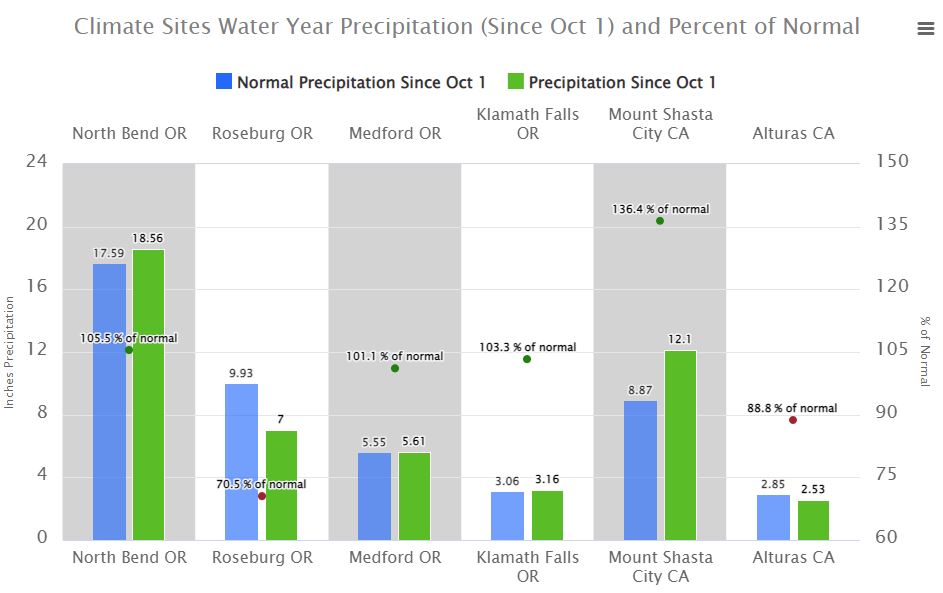 Precipitation Tracker
 Graphical Hazards Outlook
 RADAR and Satellite
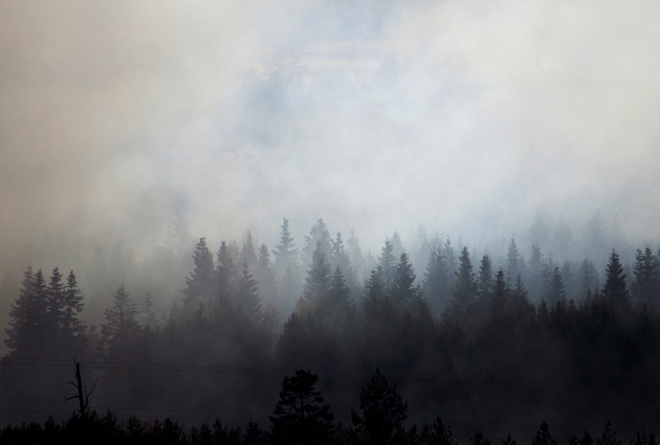 Smoke and Wildfire Safety
 Forecast Discussion
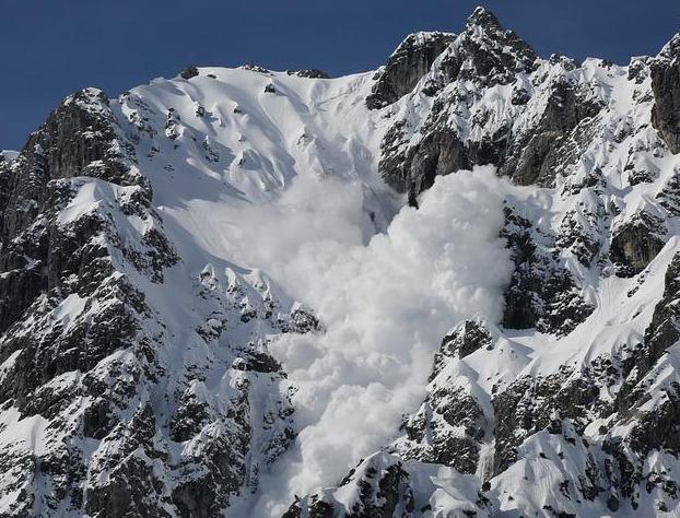 Avalanche Guidance
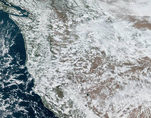 NESDIS Geocolor
 Weather Map
 Forecast Weather Tables
 Climate Graphs
 Marine
 Fire Weather
 Crater Chronicle and Monthly Climate Summaries
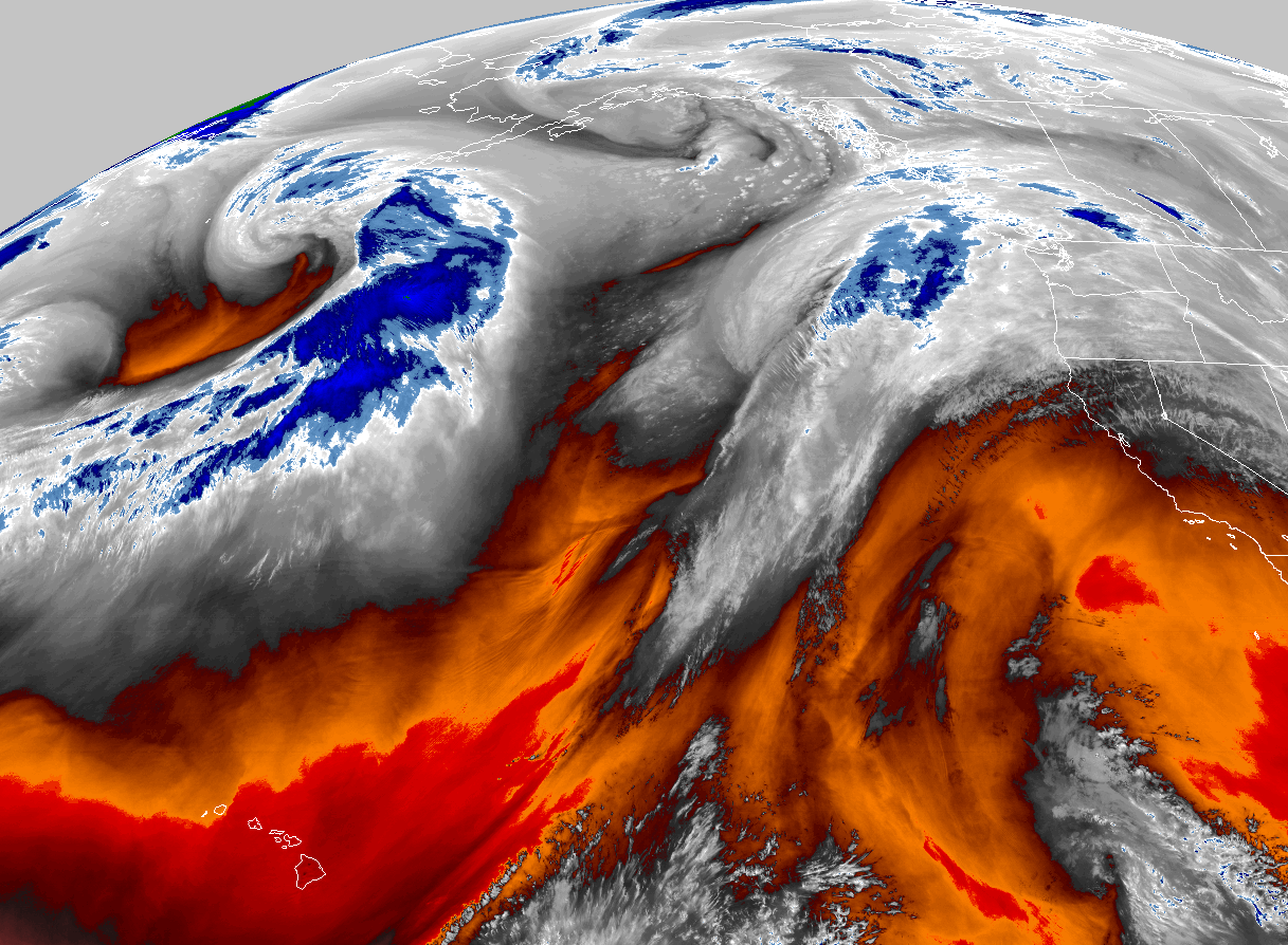 GOES 18 Water Vapor Imagery
 Mountain Pass Forecasts