Storms expected Sunday & Monday.
Locally Heavy Rainfall Likely.
Key Messages:
Scattered to widespread showers and thunderstorms are expected throughout Sunday through Tuesday. These storms could produce localized heavy rainfall.
Marginal Risk (level 1 of 4) of Excessive Rainfall on Sunday and Tuesday.
Marginal to Slight Risk (level 2 of 4) of Excessive Rainfall on Monday.
Potential Impacts:
Heavy rainfall and gusty winds.
Minor flooding, especially in low-lying areas and areas with poor drainage.
Actions:
Remain weather-aware and check the forecast for updates!
Have multiple ways to receive alerts!


 Weather Map
 TX Satellite Imagery
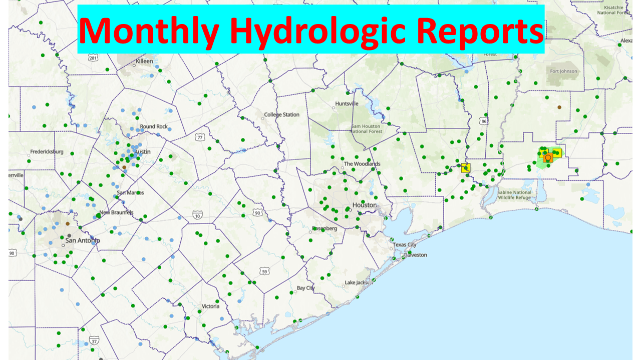 Monthly Hydrologic Reports
 Hurricane Preparedness
 CONUS Satellite Imagery
 Climate Graphs
 Climate Summaries