
| Tornado Statistics | ||||||||
| # | Counties | Rating | Time (CST) | Length (miles) | Width (yards) | Fatalities | Injuries | |
| 1 | Dickson | EF0 | 1552 | 0.91 | 75 | 0 | 0 | |
| 2 | Davidson | EF1 | 1630 | 2.34 | 200 | 0 | 0 | |
| 3 | Davidson/Rutherford/Wilson | EF1 | 1653 | 10.93 | 100 | 0 | 0 | |
| 4 | Trousdale | EF0 | 1704 | 6.9 | 125 | 0 | 0 | |
| Overview | |
|
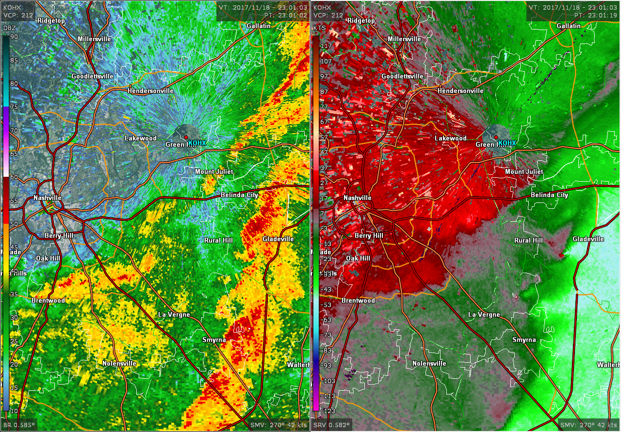
A line of strong to severe thunderstorms, known as a Quasi-Linear Convective System (or QLCS), moved rapidly across Middle Tennessee at 60 mph from west to east between 3 PM and 7 PM CST on Saturday, November 18, 2017. This line of storms produced widespread damaging winds in many counties generally along and north of I-40 corridor. In addition to the damaging winds, the QLCS produced 4 confirmed tornadoes which damaged numerous homes and other buildings in several counties. Tornadoes in the month of November are not unusual across Middle Tennessee. In fact, November ranks as the 6th most active month for tornadoes historically across the Mid State. November is the peak of the "secondary" Fall severe weather season, which typically brings an increase in severe thunderstorm activity across the Tennessee Valley from October through December. |
| Reports & Outlooks | |||
| SPC Storm Reports | SPC Event Archive | Local Storm Reports | Public Information Statements |
| EF0 Cumberland Furnace Tornado | |
| Counties: | Dickson |
| Time: | 3:52 PM CST |
| EF Scale: | EF0 |
| Estimated Peak Winds: | 80 mph |
| Damage Path Length: | 0.91 miles |
| Damage Path Width: | 75 yards |
| Fatalities: | 0 |
| Injuries | 0 |
|
Storm Survey: A small, brief EF-0 tornado touched down southwest of the intersection of Little Barton's Creek Road and Woods Valley Road northwest of Cumberland Furnace and moved northeast. A home suffered minor roof damage and an outbuilding was destroyed on Woods Valley Road. Just east of Wood Valley Road on Little Barton's Creek Road, one barn was destroyed, another barn was damaged, and an outbuilding was heavily damaged by a fallen tree. Another home and an adjacent barn further to the east suffered minor roof damage. Dozens of trees were snapped or uprooted in all directions along the path. This last tornado to hit Dickson County in the month of November was in 2005. |
|
 |
 |
| EF1 Joelton Tornado | ||||||||
| Counties: | Davidson | |||||||
| Time: | 4:30 PM CST | |||||||
| EF Scale: | EF1 | |||||||
| Estimated Peak Winds: | 105 mph | |||||||
| Path Length: | 2.34 miles | |||||||
| Path Width: | 200 yards | |||||||
| Fatalities: | 0 | |||||||
| Injuries: | 0 | |||||||
|
Storm Survey:
The last known tornado to hit Davidson County in the month of November occurred 106 years ago in 1911. |
||||||||
 |
 |
|||||||
| EF1 Gladeville Tornado | |
| Counties: | Davidson/Rutherford/Wilson |
| Time: | 4:53 PM CST |
| EF Scale: | EF1 |
| Estimated Peak Winds: | 100 mph |
| Damage Path Length: | 10.93 miles |
| Damage Path Width: | 100 yards |
| Fatalities: | 0 |
| Injuries | 0 |
|
Storm Survey: An EF-1 tornado began in far southeast Davidson County where weak tree and roof damage (EF-0) was noted on Hampton Blvd in the Villages of Long Hunter subdivision of Antioch. The tornado then crossed Percy Priest Lake into far northwest Rutherford County where numerous trees were blown down and the roofs of a few homes suffered minor damage. Moving into Wilson County, the tornado intensified to EF-1, snapping or uprooting dozens of trees and destroying several outbuildings on Fellowship Road and Underwood Road. The worst damage was in Gladeville where a few homes suffered roof damage on Cobblestone Way and Stonefield Drive, several fences were blown down, and a few outbuildings were destroyed. The steeple of a church on McCreary Road collapsed into the sanctuary, and part of an exterior brick wall was blown down. An RV carport across the street from the church was also destroyed. Another outbuilding was destroyed on Odum Lane and several more trees were blown down before the tornado lifted in inaccessible areas south of Highway 265. The ending point, ending time, and path length of the Wilson County portion of this tornado were updated in July 2018 based on newly available high resolution satellite imagery in Google Earth, giving an updated total path length across Davidson, Rutherford, and Wilson Counties of 10.93 miles. The last known tornado to hit Wilson County in the month of November occurred 92 years ago in 1925, and the last known tornado in Rutherford County in the month of November was 91 years ago in 1926. |
|
 |
 |
| EF0 Hartsville Tornado | |
| Counties: | Trousdale |
| Time: | 5:04 PM CST |
| EF Scale: | EF0 |
| Estimated Peak Winds: | 85 mph |
| Damage Path Length: | 6.9 miles |
| Damage Path Width: | 125 yards |
| Fatalities: | 0 |
| Injuries | 0 |
|
Storm Survey: An EF-0 tornado touched down just east of Highway 231 in Trousdale County causing weak tree damage before intensifying on Walnut Grove Road and Sulphur College Road where dozens of trees were snapped and uprooted. A few homes sustained some minor roof damage with a few outbuildings and barns severely damaged. Additional trees were downed on Highway 141 and Halltown Road before the tornado lifted. The tornado passed just 1.5 miles north of the city of Hartsville. This tornado was the first one ever recorded in the month of November in Trousdale County. |
|
 |
 |


 Follow us on YouTube